Preliminary Map in the Chamizal Case No. 4
Mapa introductorio del caso Chamizal numero 4.
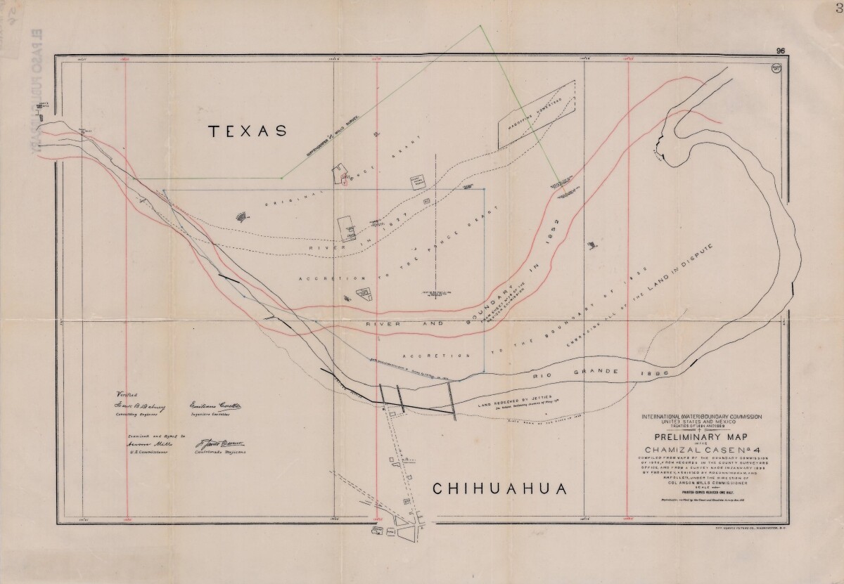
Preliminary Map in the Chamizal Case No. 4
Map compiled from Boundary Commission maps of 1852, from County Surveyors records and from January 1898 survey. Map outlines Ponce grant; Rio Grande River and boundaries in 1827, 1852, and 1896; Magoffin Homestead and Hart's Mill.
Report this entry
More from the same community-collection
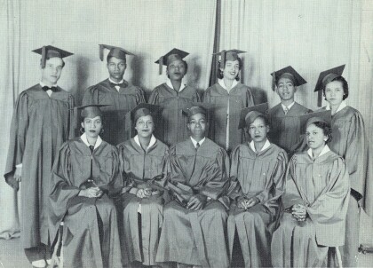
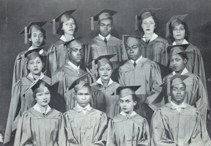
Graduation Class -Douglass High School - El Paso, Texas- 1949
Graduation Class -Douglass High School - 1949 1st Row L – ...
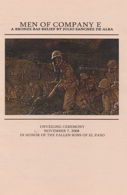
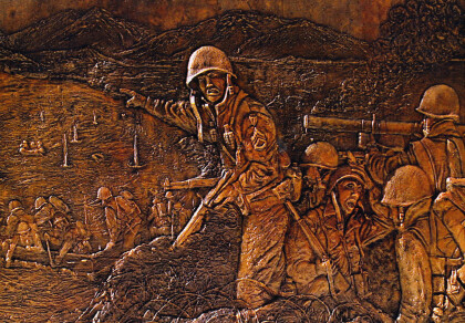
Men Of Company E - 2008 - Artist - Julio Sanchez de Alba
Unveiling ceremony - November 7, 2008.The Men of Company E ...
Men of Company E - Delta Park - El Paso, Texas
Unveiling ceremony - November 7, 2008.The Men of Company E ...
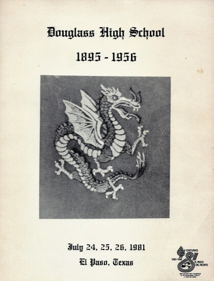
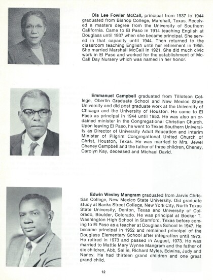
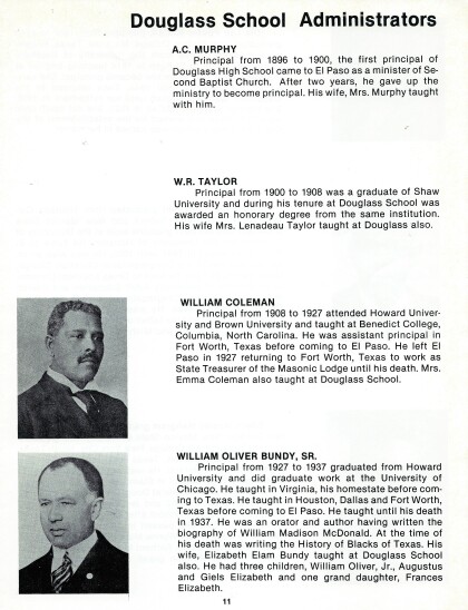
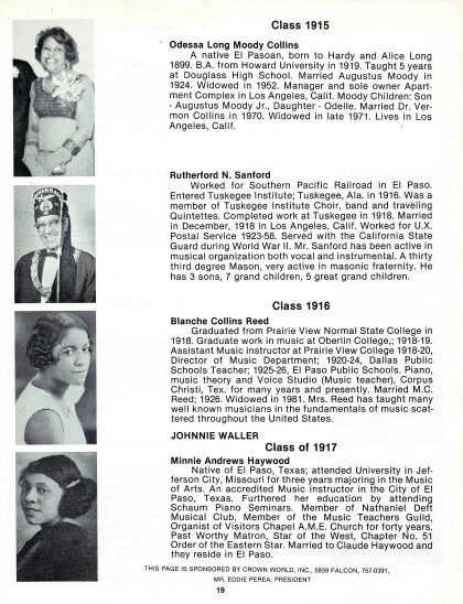
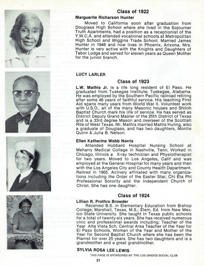
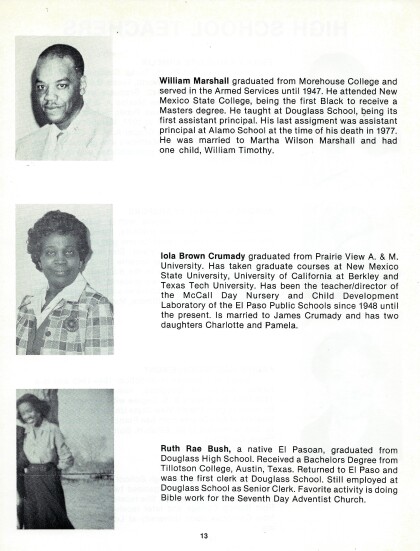
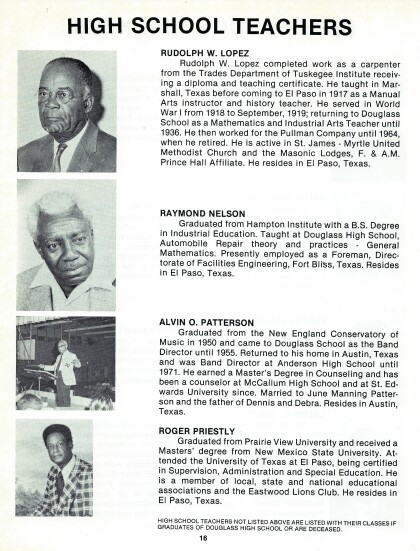
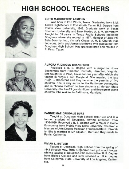
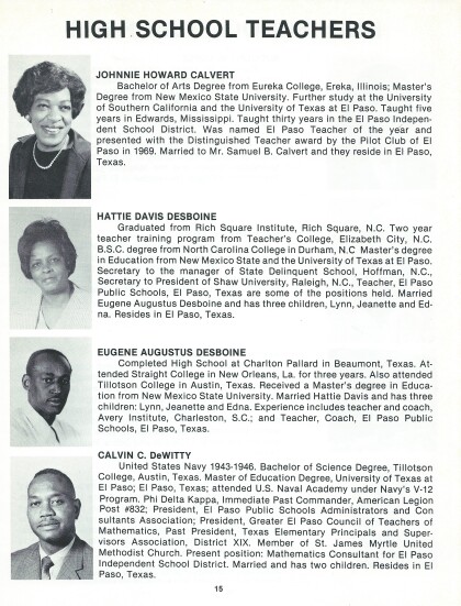
Douglass High School - Booklet - 1981
Douglass High School - El Paso, Texas. Booklet with this ...
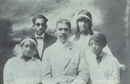
Douglass High School - 1917 - 1921
Douglass High School - members of Douglass High School from 1917 ...
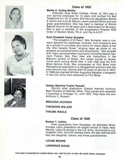
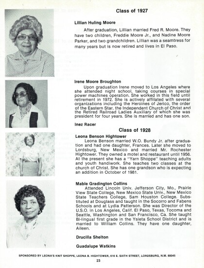
Douglass High School - Class of 1925 & 1926
Douglass High School El Pas,o Texas -- classmates of class of ...
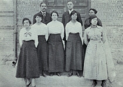
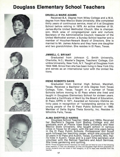
Douglass Elementary School Teachers
Douglass Elementary School Teachers March is Women's History ...
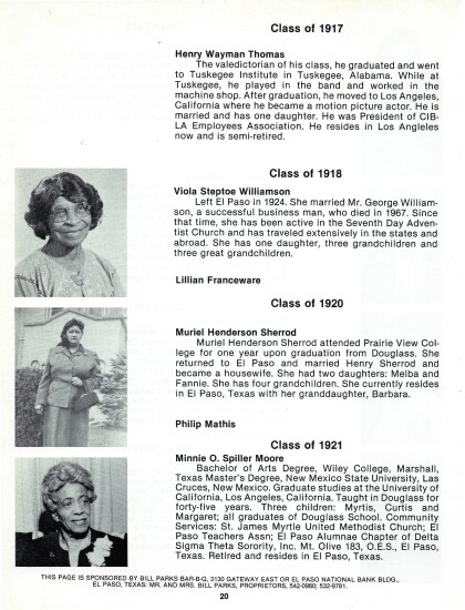
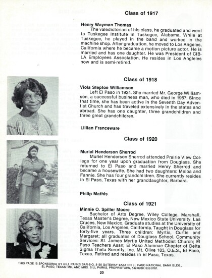
Douglass High School - Class of 1917, 1918,1920, 1921
Douglass High School - Class of 1917, 1918,1920, 1921

