Preliminary Map in the Chamizal Case No. 4
Mapa introductorio del caso Chamizal numero 4.
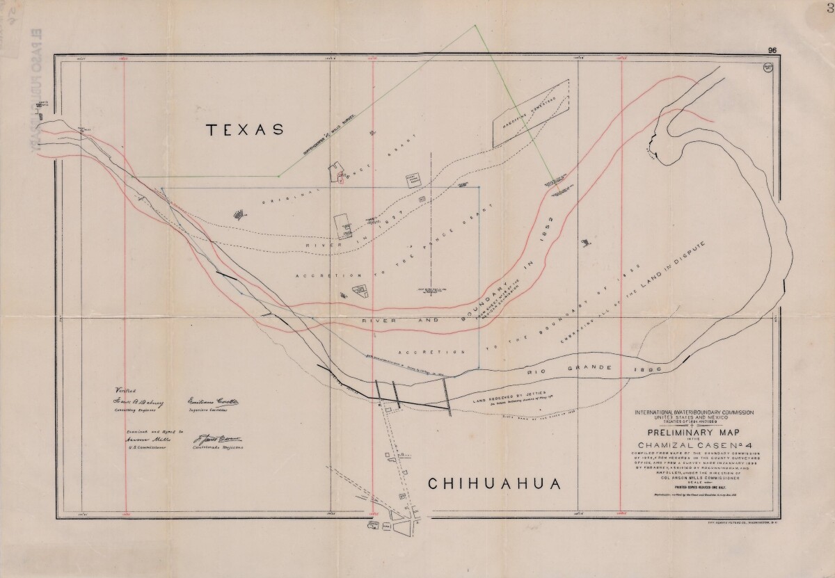
Preliminary Map in the Chamizal Case No. 4
Map compiled from Boundary Commission maps of 1852, from County Surveyors records and from January 1898 survey. Map outlines Ponce grant; Rio Grande River and boundaries in 1827, 1852, and 1896; Magoffin Homestead and Hart's Mill.
Report this entry
More from the same community-collection
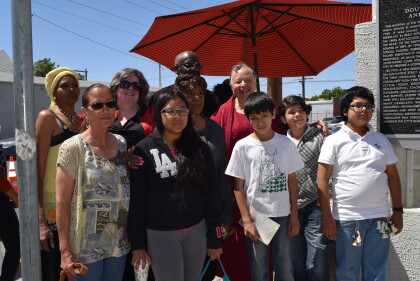
Douglass Grammar and High School
Students who now attend Douglass Grammar School are present for ...
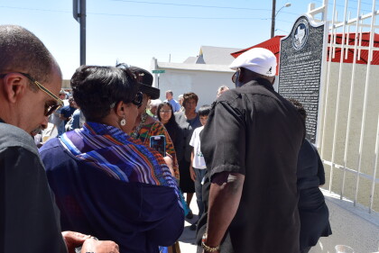
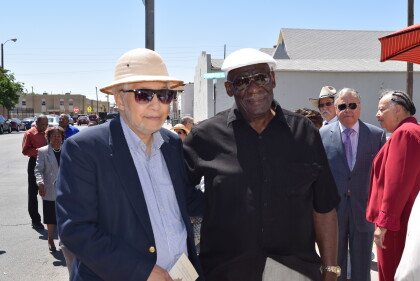
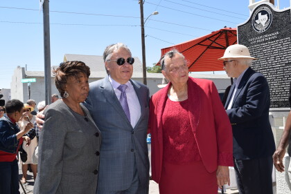
Douglass Grammar and High School
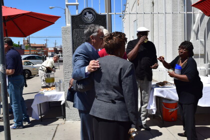
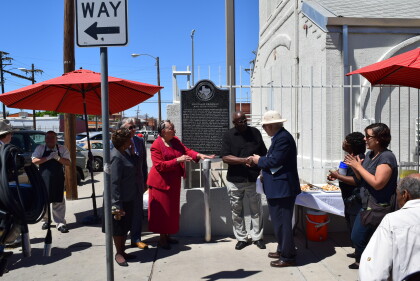
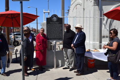
Douglass Grammar and High School historical marker ceremony. Dr. ...
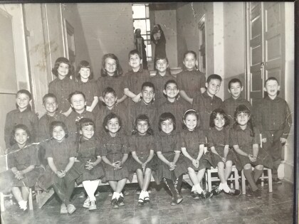
Guardian Angel Catholic School Kindergarten 1963
Sister Casenita's Kindergarten class 1963-1964 at Guardian Angel ...
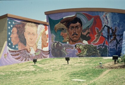
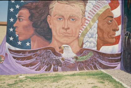
Mural at the Chamizal National Memorial
Photo of the mural painted by local artist Carlos Enrique Flores ...
Mural at the Chamizal National Memorial
Original version of the first panel of the mural located at the ...
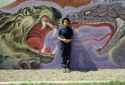
Artist's son standing in front of the mural at the Chamizal
Photo of the artist's son standing in front of the mural located ...
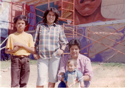
Artist's family standing in front of the mural at the Chamizal.
Photo of the family of local El Paso artist Carlos Enrique ...
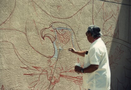
Local artist Carlos Enrique Flores at work on Chamizal Mural
Local El Paso artist Carlos Enrique Flores at work on the Mural ...
