Preliminary Map in the Chamizal Case No. 4
Mapa introductorio del caso Chamizal numero 4.
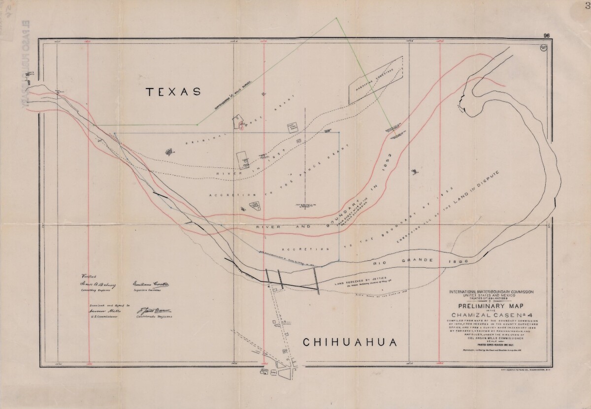
Preliminary Map in the Chamizal Case No. 4
Map compiled from Boundary Commission maps of 1852, from County Surveyors records and from January 1898 survey. Map outlines Ponce grant; Rio Grande River and boundaries in 1827, 1852, and 1896; Magoffin Homestead and Hart's Mill.
Report this entry
More from the same community-collection
R Salazar apt on Eucalyptus at Cypress
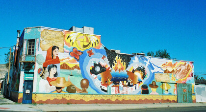
R Salazar apt on Eucalyptus at Cypress. This mural is titled ...
Danny Olivas mural, 2007 Texas Ave, El Paso, Texas
Danny Olivas mural, 2007 Texas Ave. This mural is by Ernesto ...
Home at 217 Stevens St. El Paso, Texas circa 1945
Photo taken by Thurman Studio Portraits & Commercial Photography ...
Graduation Class -Douglass High School - 1953
Graduation from Frederick Douglass High School, 101 S. ...
