Preliminary Map in the Chamizal Case No. 4
Mapa introductorio del caso Chamizal numero 4.
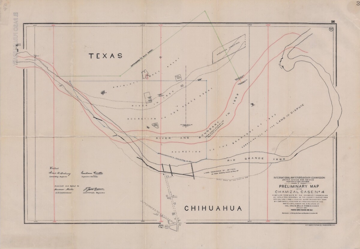
Preliminary Map in the Chamizal Case No. 4
Map compiled from Boundary Commission maps of 1852, from County Surveyors records and from January 1898 survey. Map outlines Ponce grant; Rio Grande River and boundaries in 1827, 1852, and 1896; Magoffin Homestead and Hart's Mill.
Report this entry
More from the same community-collection
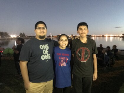
Walk of Hope: Walking for Cancer Awareness
We participated in the Walk of Hope hosted by El Paso's Children ...
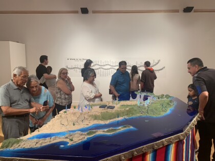
Audience at the opening of "The Uncolonized" by Angel Cabrales
Audience at the opening of Angel Cabrales AIP Project ...
