Preliminary Map in the Chamizal Case No. 4
Mapa introductorio del caso Chamizal numero 4.
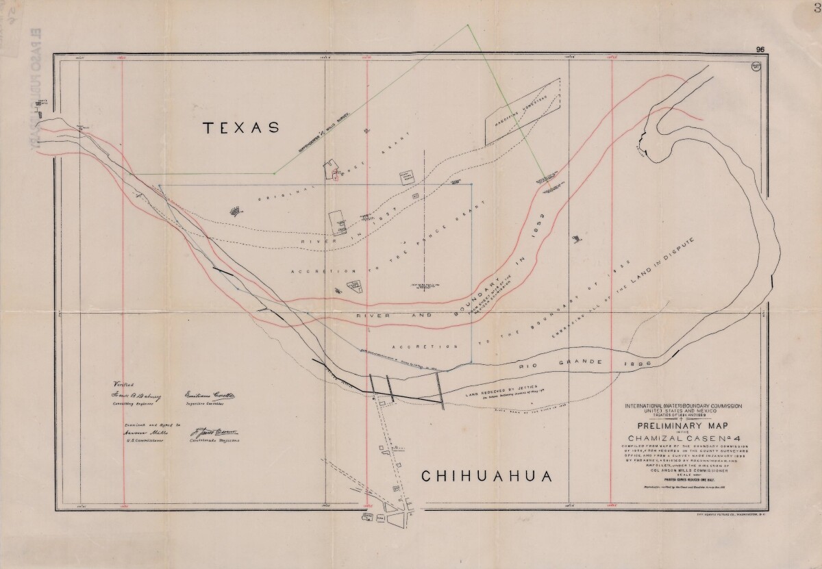
Preliminary Map in the Chamizal Case No. 4
Map compiled from Boundary Commission maps of 1852, from County Surveyors records and from January 1898 survey. Map outlines Ponce grant; Rio Grande River and boundaries in 1827, 1852, and 1896; Magoffin Homestead and Hart's Mill.
Report this entry
More from the same community-collection
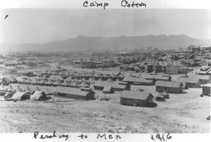
Pershing Expedition, Camp Cotton, 1916
Camp Cotton, Texas, a sub-post of Fort Bliss at El Paso, was the ...
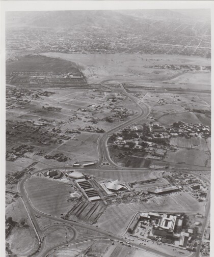
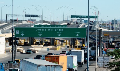
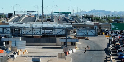
Ciudad Juarez looking towards El Paso
This photograph shows part of the Border Redevelopment Project ...
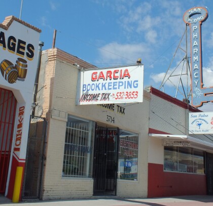
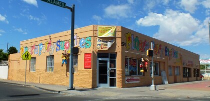
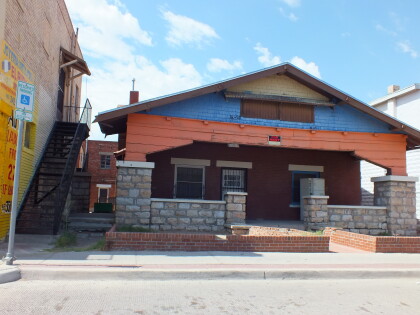
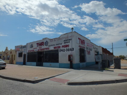
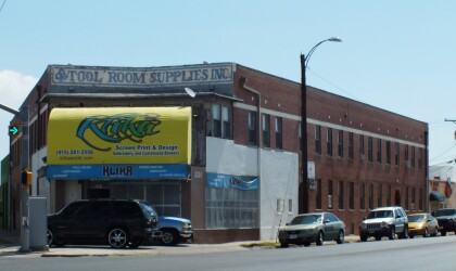
TWR Auto Parts Store on Alameda Ave
The image shows one of the many old-time shops on Alameda Ave in ...
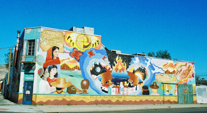
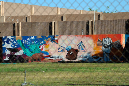
Cellini Leathers - Mural - El Paso, Texas
This mural can be seen at the street corner of Magoffin and ...
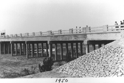
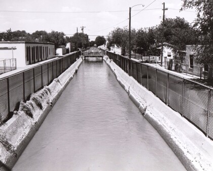




Book by historian Leon C. Metz, Border: the U.S. Mexico Line, El Paso:Mangan Books, 1989,
Border Heritage Center is at Main Library in El Paso, TX where LBJ of USA and president of Mexico finally signed treaty settling land dispute.