Map of New Spain under the Viceroys
Mapa de Nueva España bajo los virreyes
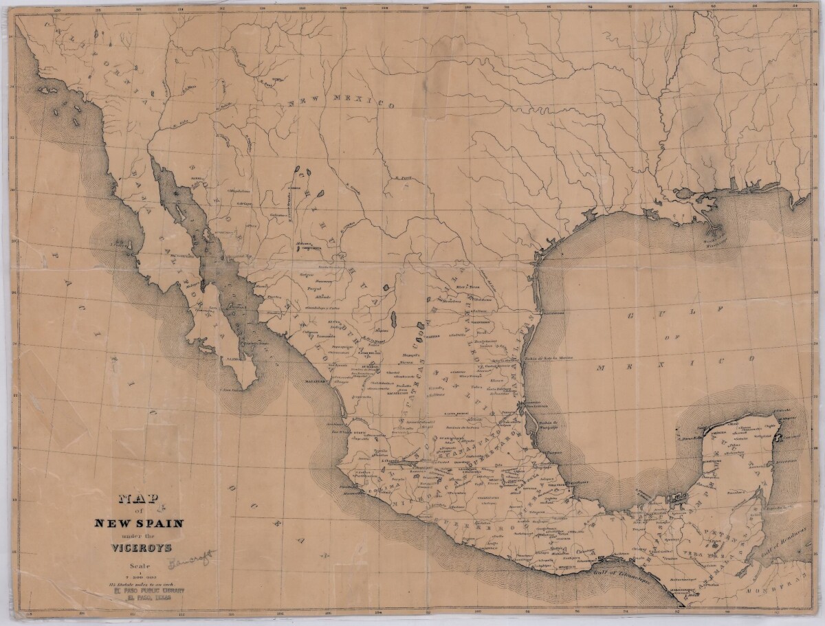
Map of New Spain under the Viceroys

This map illustrates 1600's New Spain. Areas from New Mexico, California, Baja California to Durango, Guanajuato, Puebla and through to Honduras are shown. City/town names, and rivers are indicated. Image Description: A brown borderless map of what was New Spain from New Mexico through Honduras. The map shows rivers and states, the Gulf of Mexico and parts of the Pacific Ocean.

Area: Out of Area / Out of Area

Source: Unknown

Uploaded by: Border Heritage Center

Comments

Add a comment
Thank you for your comment

Report this entry

Choose the most important reason for this report

Your name

Your email address

Optional detail

Thank you for your report

More from the same community-collection

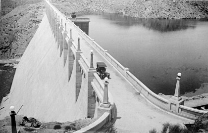
Elephant Butte Dam

The Elephant Butte Dam in New Mexico was completed in 1916. The ...

J. J. Armes and J. J. Armes III

J. J. Armes and his son on vacation. Jay J. Armes was born ...

J. J. Armes, Chuck Norris, J. J. Armes III

J. J. Armes, Chuck Norris, J. J. Armes III in the year 1985. ...

J. J. Armes Being Interviewed

I had met Marlon Brando in my younger years when I was working ...

Marlon Brando, Linda Armes, and J. J. Armes

J. J. Armes, Linda Armes, and Marlon Brando. I had met Marlon ...

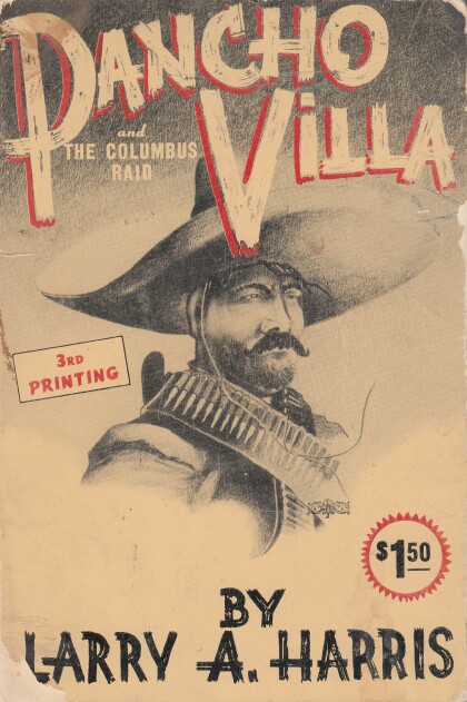
Pancho Villa and The Columbus Raid

Pancho Villa and The Columbus Raid, by Larry A. Harris. ...

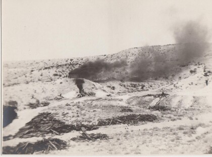
Brick Kiln

This is believed to be a brick kiln out in the desert. El Paso ...

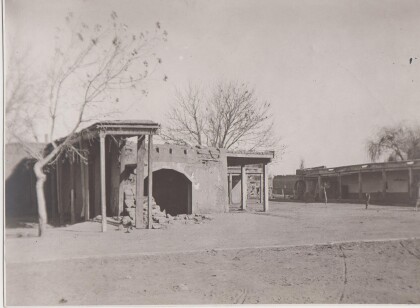
Adobe Buildings

These buildings might be located on either side of the river. ...

Barrio

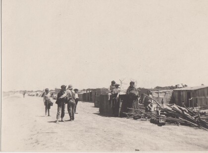
This community appears to be built on the flat land near the ...

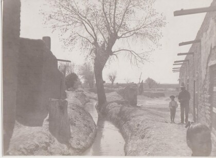
Irrigation Canal.

There appears to be a number of ruined adobe walls in this ...

Horno

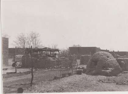
The central feature in this photograph is the horno, the outside ...

Goat Pens

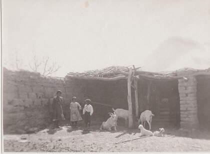
Goats provided milk and meat, but do not eat as much as cows. ...

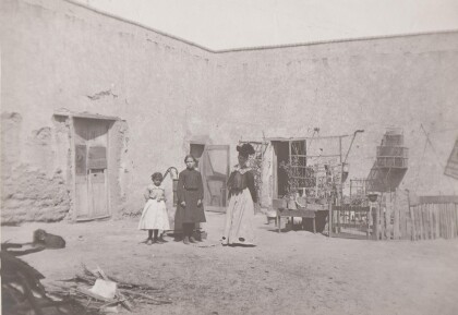
Outside of Adobe Home - Circa - 1900

Girls in front of adobe structure and water pump. Note the bird ...

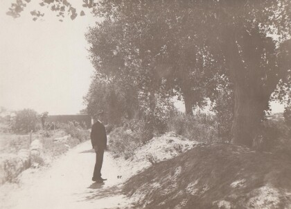
Irrigation canal

Irrigation canal somewhere in the El Paso/Juarez area.

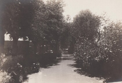
Irrigation Canal

Irrigation canal somewhere in El Paso or Ciudad Juarez.

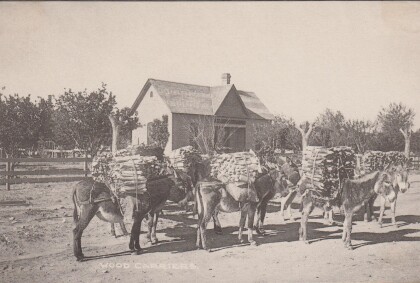
Burros Carrying Wood

Burros carrying firewood could be found in both Ciudad Juarez ...

Performing For The C.I.A.

Rosa Guerrero dancers performing for the CIA - Washington, D.C. ...

Braceros leaving for El Paso

The image shows braceros on a truck, leaving Chihuahua City for ...

Skydiving promo for Nabisco over White Sands, NM

Allowed access to take off from Holloman AFB in Alamogordo, ...

End of skydive over White Sands, NM

Skydiver tracking away from formation after a jump by White ...
1st Lt. Micki Duran with USMC

My daughter Micki Duran flying a helicopter. So proud of our ...

El Capitan

Scenic aerial view of El Capitan peak in the Guadalupe Mountains ...

home.search_collection