Map of New Spain under the Viceroys
Mapa de Nueva España bajo los virreyes
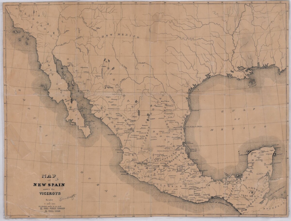
Map of New Spain under the Viceroys
This map illustrates 1600's New Spain. Areas from New Mexico, California, Baja California to Durango, Guanajuato, Puebla and through to Honduras are shown. City/town names, and rivers are indicated. Image Description: A brown borderless map of what was New Spain from New Mexico through Honduras. The map shows rivers and states, the Gulf of Mexico and parts of the Pacific Ocean.
Report this entry
More from the same community-collection
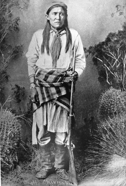
Chatto / Chato - Chiricahua Apache
Chato (1854-1934) was a Chiricahua Apache, born in 1854. He ...
J. J. Armes, Stan Lee, and J. J. Armes III
You were approached by Stan Lee about creating a super hero of ...
J. J. Armes With President Bush and Vice President Cheney
J. J. Armes with President George W. Bush and Vice President ...
J. J. Armes, Investigating With A Magnifying Glass
J. J. Armes Investigating A Safe With A Magnifying Glass, ...
