Map of New Spain under the Viceroys
Mapa de Nueva España bajo los virreyes
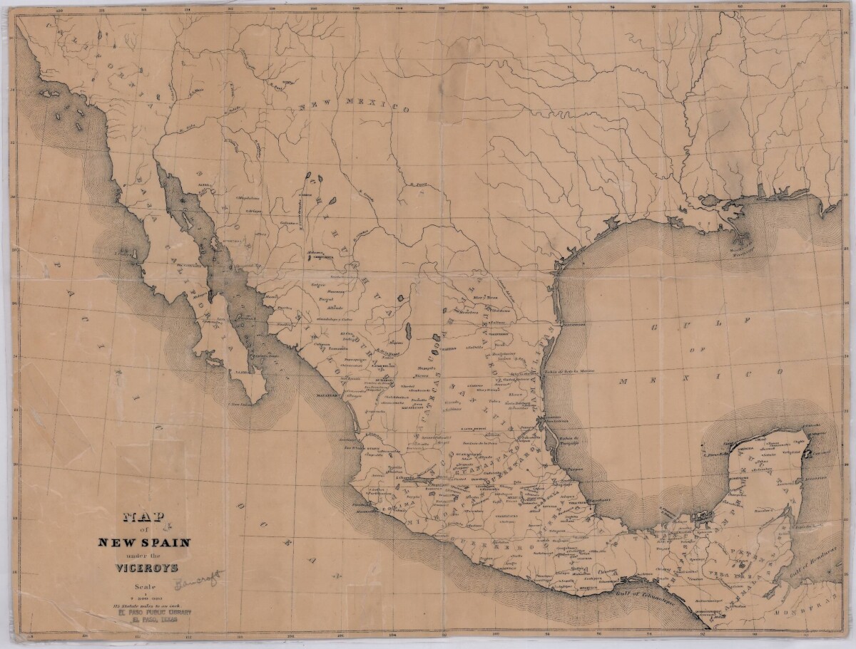
Map of New Spain under the Viceroys
This map illustrates 1600's New Spain. Areas from New Mexico, California, Baja California to Durango, Guanajuato, Puebla and through to Honduras are shown. City/town names, and rivers are indicated. Image Description: A brown borderless map of what was New Spain from New Mexico through Honduras. The map shows rivers and states, the Gulf of Mexico and parts of the Pacific Ocean.
Report this entry
More from the same community-collection
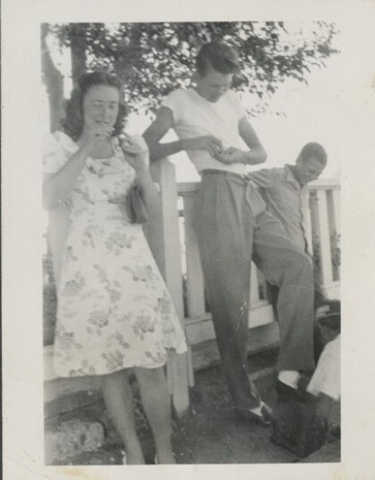
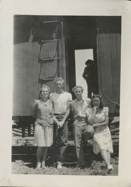
Still Waiting for the Train to El Paso
Vera Whetten (Pratt), Linden Bluth, Demar Farnsworth Summer 1945 ...
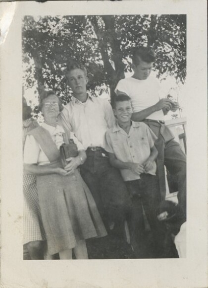
Still Waiting for the Train to El Paso (2)
Sister Romney, Maxell Romney, Maxell's nephew, Lindon Bluth ...
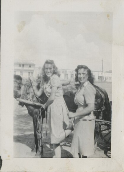
Barbara's Ride on the Horse Drawn Banana Cart
Barbara Barret and Vera Whetten (Pratt) preparing to ride in a ...
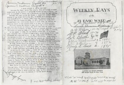
Celebrating the 20th Anniversary of El Paso First Ward Program
20th Anniversary program cover for the Douglas Chapel, the first ...
Celebrating the 20th Anniversary of El Paso First Ward (2)
20th Anniversary program for the Douglas Chapel, the first LDS ...
Toni's First Ballet Recital Colonia Dublin Stake Center
Toni Marie Jones loved the recital because everyone she loved ...
Folklorico Dance Recital Juarez Stake Academy, Chihuahua Mexico
Toni Marie Jones, Juarez Stake Academy, Chihuahua, Mexico 1996?

