Map of New Spain under the Viceroys
Mapa de Nueva España bajo los virreyes
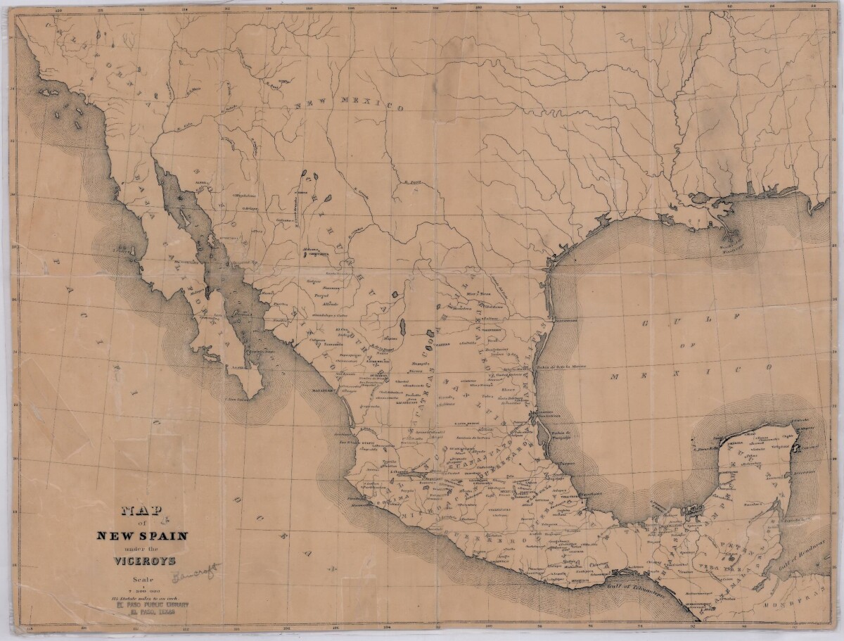
Map of New Spain under the Viceroys
This map illustrates 1600's New Spain. Areas from New Mexico, California, Baja California to Durango, Guanajuato, Puebla and through to Honduras are shown. City/town names, and rivers are indicated. Image Description: A brown borderless map of what was New Spain from New Mexico through Honduras. The map shows rivers and states, the Gulf of Mexico and parts of the Pacific Ocean.
Report this entry
More from the same community-collection
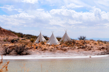
Teepees at Indian Cliffs Ranch in Fabens, TX
Teepees at Indian Cliffs Ranch in Fabens, TX - These tepees are ...
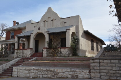
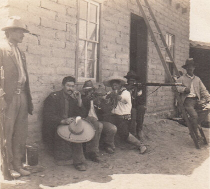
Headquarters of F. I. Madero (Casa Adobe)
The notation on the back of the image says: " Across the Rio ...
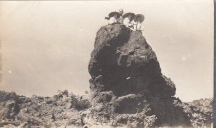
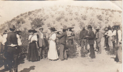
Tourists During Mexican Revolution
Two women and a man (center left) are preparing to pose for ...
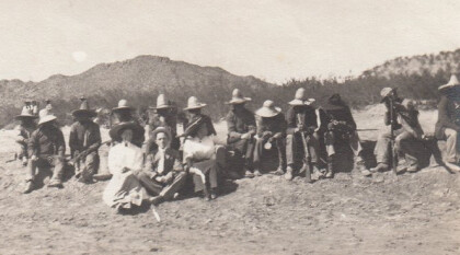
Tourists during Mexican Revolution
A group of people is sitting in the dessert. The two women and ...
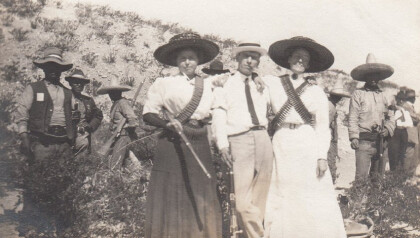
Tourists during Mexican Revolution, part 4
Two women and one man are posing with some rebels for a ...

