Map of New Spain under the Viceroys
Mapa de Nueva España bajo los virreyes
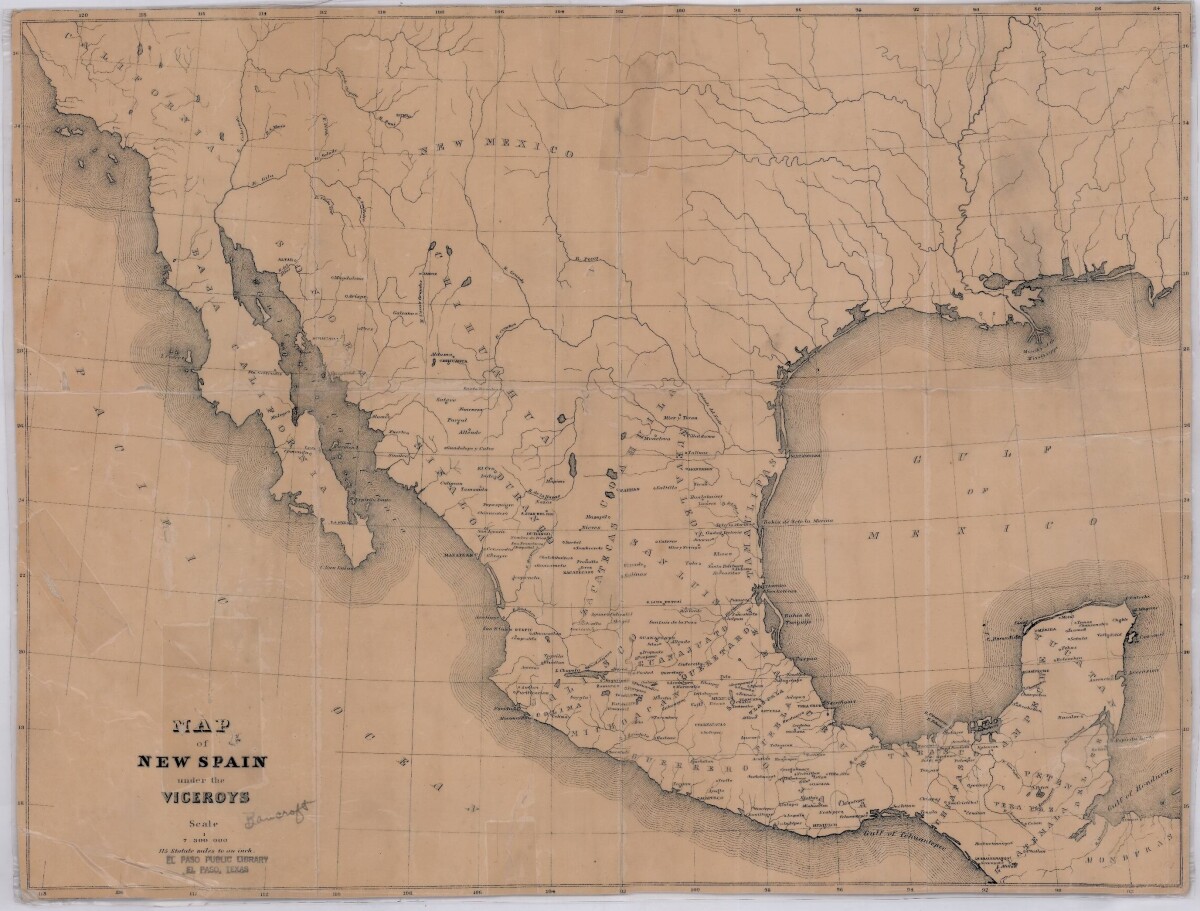
Map of New Spain under the Viceroys
This map illustrates 1600's New Spain. Areas from New Mexico, California, Baja California to Durango, Guanajuato, Puebla and through to Honduras are shown. City/town names, and rivers are indicated. Image Description: A brown borderless map of what was New Spain from New Mexico through Honduras. The map shows rivers and states, the Gulf of Mexico and parts of the Pacific Ocean.
Report this entry
More from the same community-collection
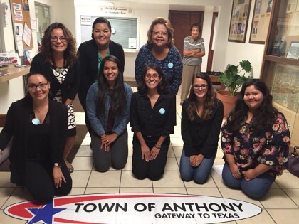
Smoke Free Anthony, Texas - 2017
Passing of a smoke-free ordinance in Anthony, Texas on Monday, ...
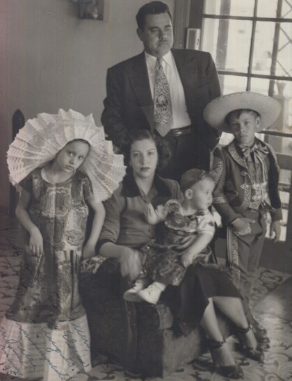
Family Photograph - Texas State University
Leaving my brother at his school - Texas State University.
1970 Jorge & Rosa Angulo's honeymoon in Guatemala.
1970 Jorge & Rosa Angulo's honeymoon in Guatemala. Picture taken ...
Carlota, Hermila & Perla circa 1938
Taken in front of the monument to the Revolution, Mexico City; ...
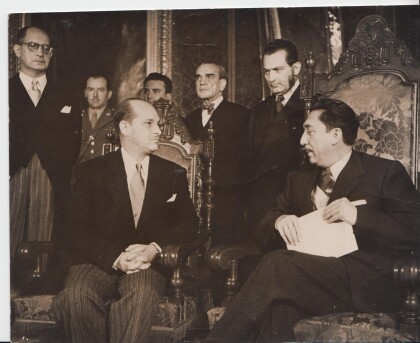
1952 Ramiro Gereda-Aleman - El Paso, Texas
Ramiro Gereda Asturias presenting credentials as ambassador to ...
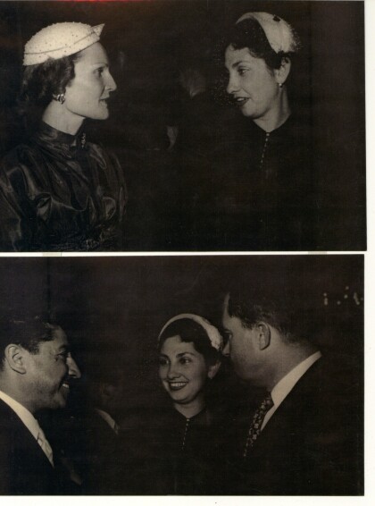
Lucy Alvarez w/ Pat Nixon & Richard Nixon, Mexico 1954
Lucy Alvarez with Pat and Ridchard Nixon during their visit to ...
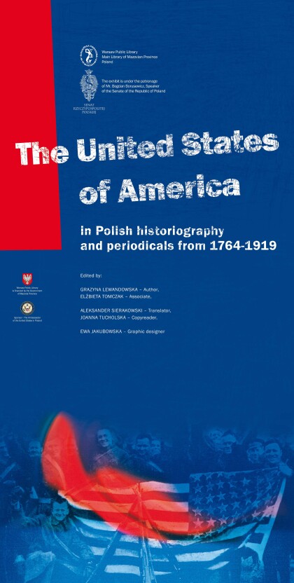
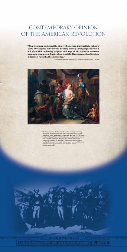
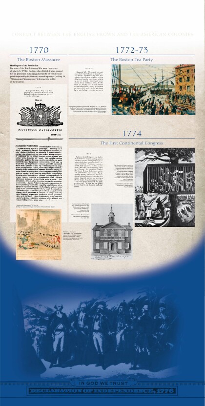
Exhibit provided by Polish American Society 2014
Title panel - US in Polish Historiography and Periodicals ...
