Map of New Spain under the Viceroys
Mapa de Nueva España bajo los virreyes
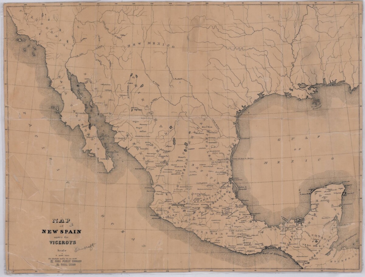
Map of New Spain under the Viceroys
This map illustrates 1600's New Spain. Areas from New Mexico, California, Baja California to Durango, Guanajuato, Puebla and through to Honduras are shown. City/town names, and rivers are indicated. Image Description: A brown borderless map of what was New Spain from New Mexico through Honduras. The map shows rivers and states, the Gulf of Mexico and parts of the Pacific Ocean.
Report this entry
More from the same community-collection
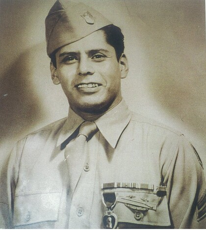
Alfredo Lozano - Company E, 1940 - 1949
Photograph of Alfredo Lozano after receiving the purple heart. ...
Colonel Armando Ruiz - 1940 - 1949
Colonel Armando "Tommy" Ruiz, is a Graduate of Bowie high school ...
Emblem - 141st Regiment-2nd Battalion - Company E - 1941
Emblem - 141st Regiment-2nd Battalion - Company E - 36th ...
Lorenzo Macias - Company E - 1941
Lorenzo Macias member of Company E was killed in action December ...
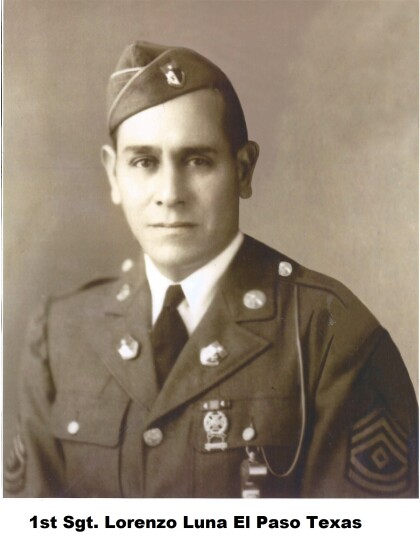
Lorenzo Luna - Company E - 1941
Lorenzo Luna was a member of Company E. Hispanics of the 141st ...
Rafael Torres - Company E - 1942
Rafael Torres - Company E - 1942 - member of the famous Company ...
Ramon G. Gutierrez - Company E - 1942
Ramon G. Gutierrez was a member of Company E during World War ...
Marcelino Valadez - Company E - 1942
Marcelino Valadez - Company E - 1942 - member of Company E. An ...
Ricardo Palacios Jr. - 1941 - Company E
Ricardo Palacios Jr. at Camp Bowie - Brownwood, Texas. Ricardo ...


