Map of New Spain under the Viceroys
Mapa de Nueva España bajo los virreyes
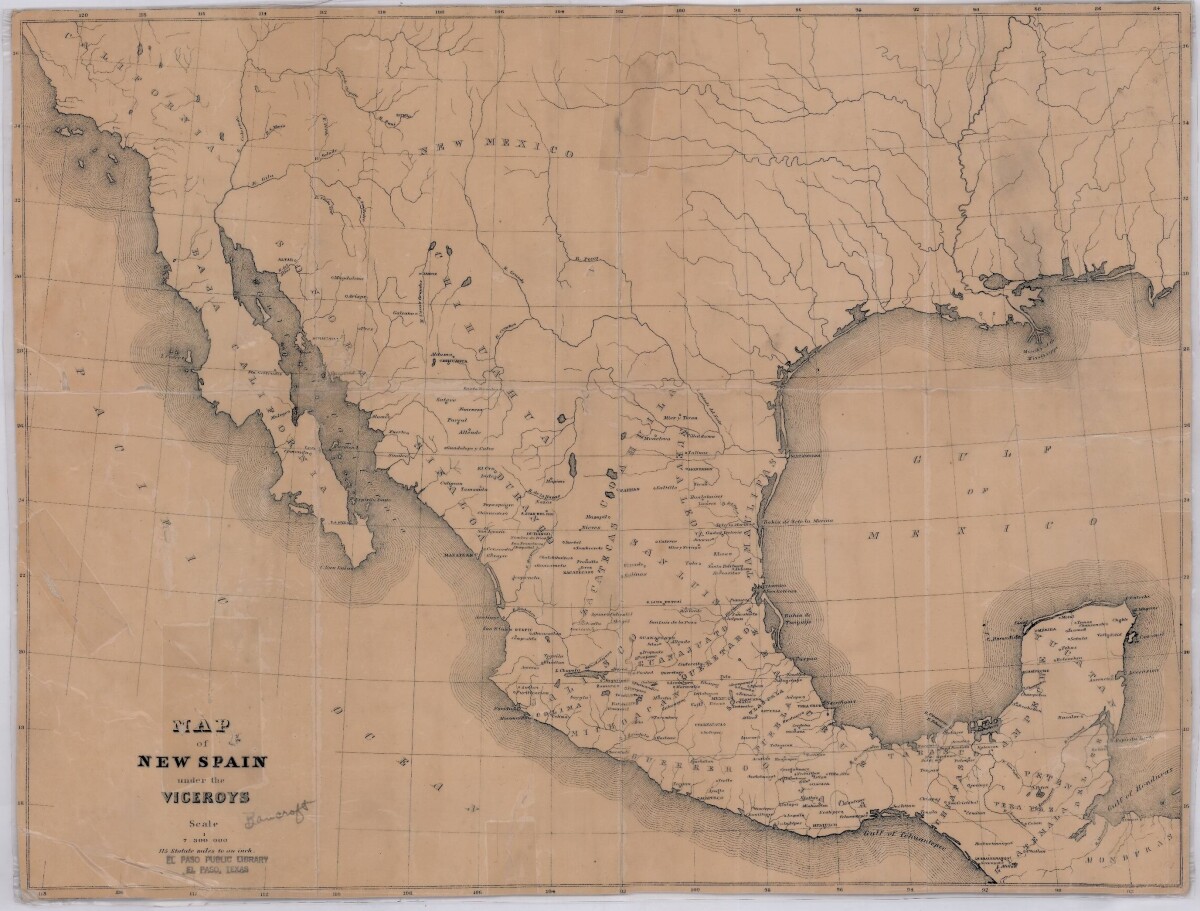
Map of New Spain under the Viceroys
This map illustrates 1600's New Spain. Areas from New Mexico, California, Baja California to Durango, Guanajuato, Puebla and through to Honduras are shown. City/town names, and rivers are indicated. Image Description: A brown borderless map of what was New Spain from New Mexico through Honduras. The map shows rivers and states, the Gulf of Mexico and parts of the Pacific Ocean.
Report this entry
More from the same community-collection
Albert A. Hernandez - Vietnam Veteran - 2016
Albert A. Hernandez on the USS Midway in San Diego, California - ...
HM2 Hernandez, Albert A. - Vietnam - 1965
I graduated from Jefferson High School in May of 1965. Shortly ...
HM2 Hernandez, Albert A. - Vietnam Veteran - 1967
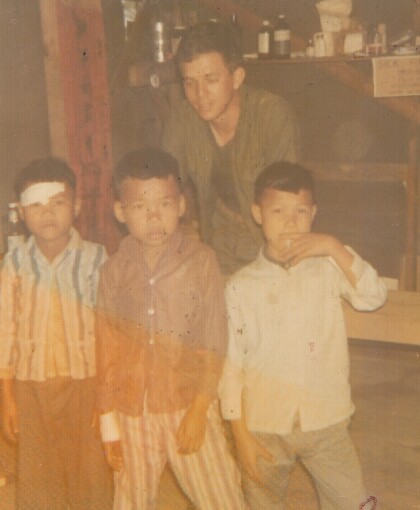
1967 - Three Vietnamese boys needing medical care in Phu Bai - ...
HM2 Hernandez, Albert A. - Vietnam Veteran - 1966
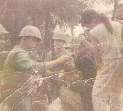
Near a french bunker - near a combat base - Phu Bai.
Albert A. Hernandez - Reenlished - 1974
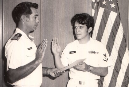
HM3 Albert A. Hernandez reenlisted on October 8, 1974 at ...
Fred R. Madrid Jr. (Freddy) in Vietnam - 1960 - 1969
This photo was taken in Vietnam during the Vietnam war. ...
Pablo Gonzalez - WWII - 1940 - 1949
Pablo Gonzalez during World War II -left to right - Pablo is ...
Pablo Gonzalez - WWII - 1940 - 1949
Pablo Gonzalez Grandpa of Melissa Segura who was in the army ...
Victoria Sinclair - 1st Runner Up - Miss New Mexico - 2017
Mission accomplished my dear friends! Living proof that if you ...
Joe Gomez First Communion - 1950 - 1959
Joe Gomez First Communion - 1950 - 1959. First Communion at San ...
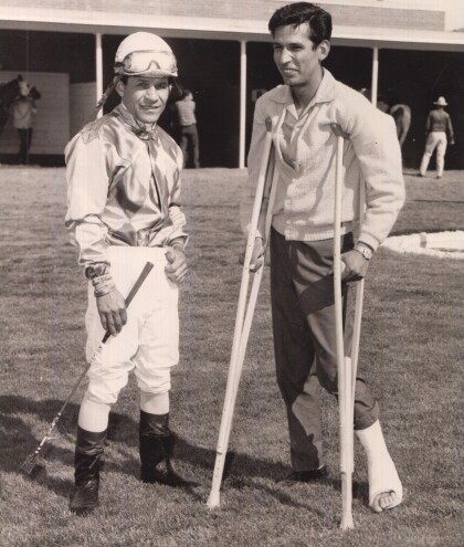
Ismael "Milo" Valenzuela - 1950's
Ismael "Milo" Valenzuela with a friend at the track. Milo won ...


