Map of New Spain under the Viceroys
Mapa de Nueva España bajo los virreyes
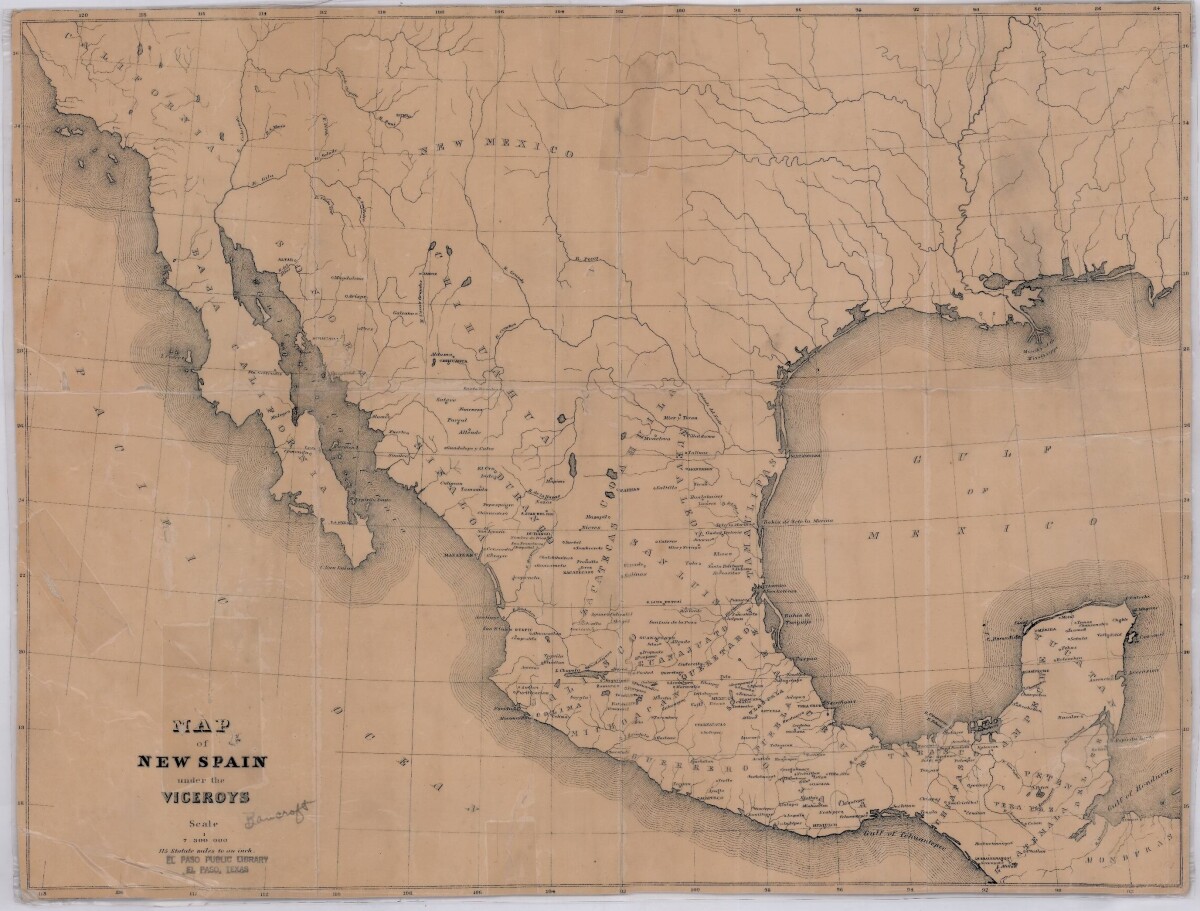
Map of New Spain under the Viceroys
This map illustrates 1600's New Spain. Areas from New Mexico, California, Baja California to Durango, Guanajuato, Puebla and through to Honduras are shown. City/town names, and rivers are indicated. Image Description: A brown borderless map of what was New Spain from New Mexico through Honduras. The map shows rivers and states, the Gulf of Mexico and parts of the Pacific Ocean.
Report this entry
More from the same community-collection
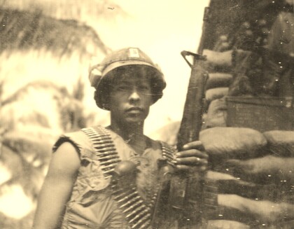
Fernando F. Villela - Vietnam - 1969
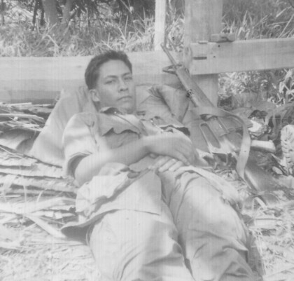
Fernando F. Villela laying down after a fire-fight from treeline ...
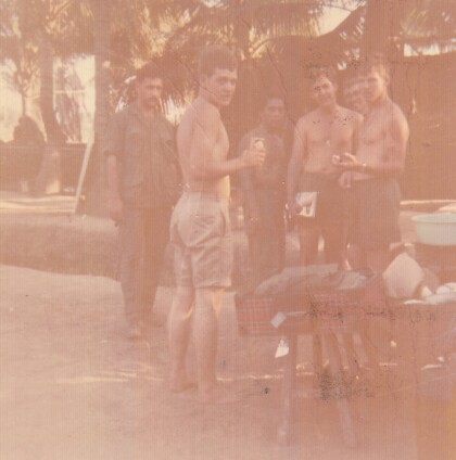
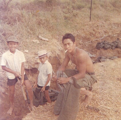
Fernando F. Villela - Vietnam - 1969
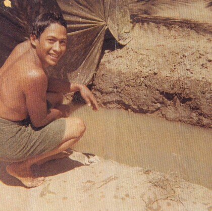
Fernando F. Villela - Vietnam - 1969 "Just showered at bunker ...
Ermine Peck McKay Hourigan - 1926
Mother of Thomas McKay - Founder - El Paso Boxing - Martial Arts ...
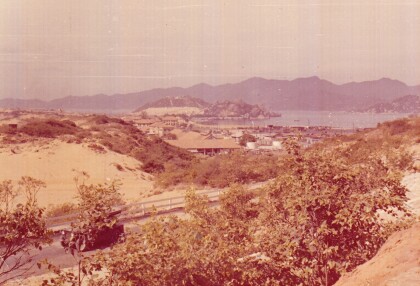
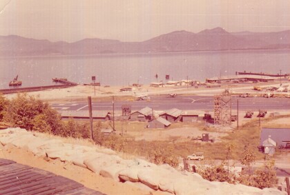
Camranh Bay in Vietnam - Fernando Villela - 1969
Photograph: Overview of Cam ranh Bay in Vietnam - 1969. On April ...
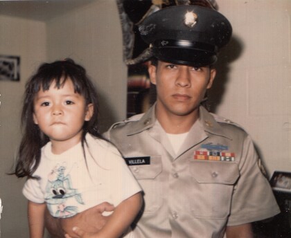
Fernando Villela Holding His Daughter - 1971
" Just before I got out of the Army". Fernando Villela holding ...
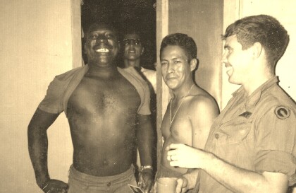
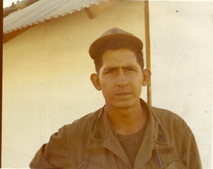
Vietnam - 1969 - Fernando Villela
"First Lieutenant in our company - real straight nice guy - in ...
