Map of New Spain under the Viceroys
Mapa de Nueva España bajo los virreyes
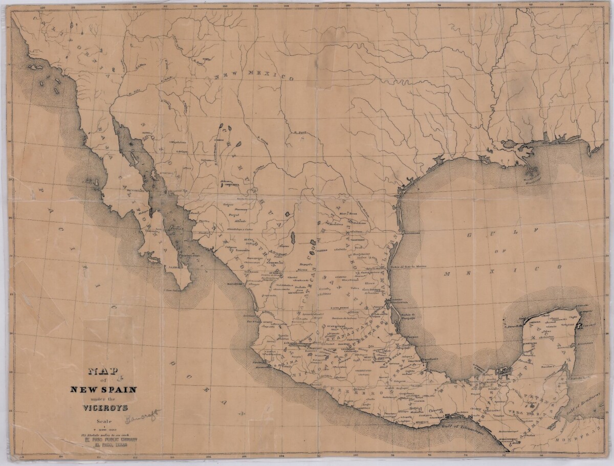
Map of New Spain under the Viceroys
This map illustrates 1600's New Spain. Areas from New Mexico, California, Baja California to Durango, Guanajuato, Puebla and through to Honduras are shown. City/town names, and rivers are indicated. Image Description: A brown borderless map of what was New Spain from New Mexico through Honduras. The map shows rivers and states, the Gulf of Mexico and parts of the Pacific Ocean.
Report this entry
More from the same community-collection
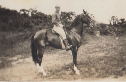
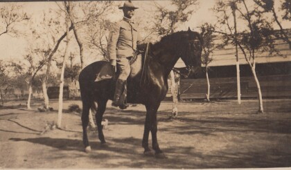
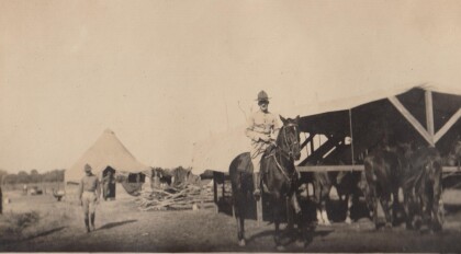
H. E. Featherstone on Horseback circa 1915
This is H.E. Featherstone, possibly on Sandy, the horse he rode ...
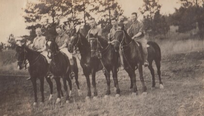
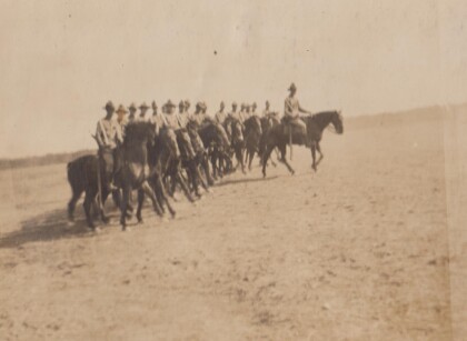
Sgt. Carr And His Platoon - 1910 - 1919
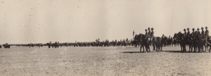
This is the Virginia Cavalry, at drill. The closest horses are ...
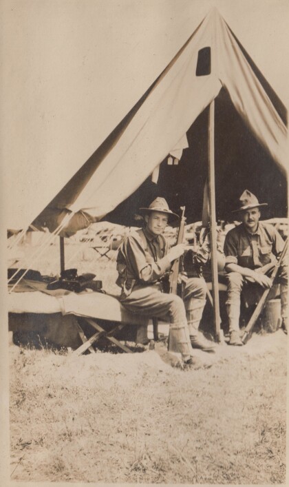
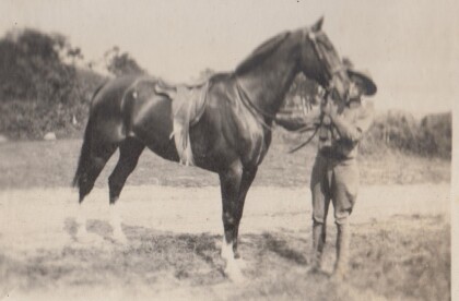
H.E. Featherstone at Gordonsville, Virginia
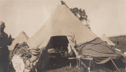
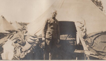
Featherstone in front of his tent at the camp in Gordonsville.
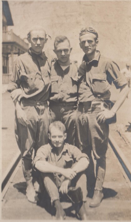
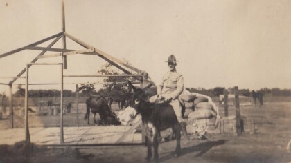
Blakeley, Bourne, Watkins, and Jones
These soldiers are probably part of the Richmond Light Infantry, ...
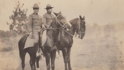
Captains Hewitt and Puller, Virginia Cavalry
Two officers from the Virginia Cavalry serving on the border.
