Map of New Spain under the Viceroys
Mapa de Nueva España bajo los virreyes
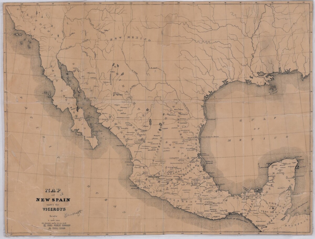
Map of New Spain under the Viceroys
This map illustrates 1600's New Spain. Areas from New Mexico, California, Baja California to Durango, Guanajuato, Puebla and through to Honduras are shown. City/town names, and rivers are indicated. Image Description: A brown borderless map of what was New Spain from New Mexico through Honduras. The map shows rivers and states, the Gulf of Mexico and parts of the Pacific Ocean.
Report this entry
More from the same community-collection
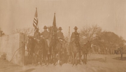
Polo Team, Troop "B" Va. Cav., Anniston, Alabama
Lt. Col. Featherstone served in the Virginia National Guard, and ...
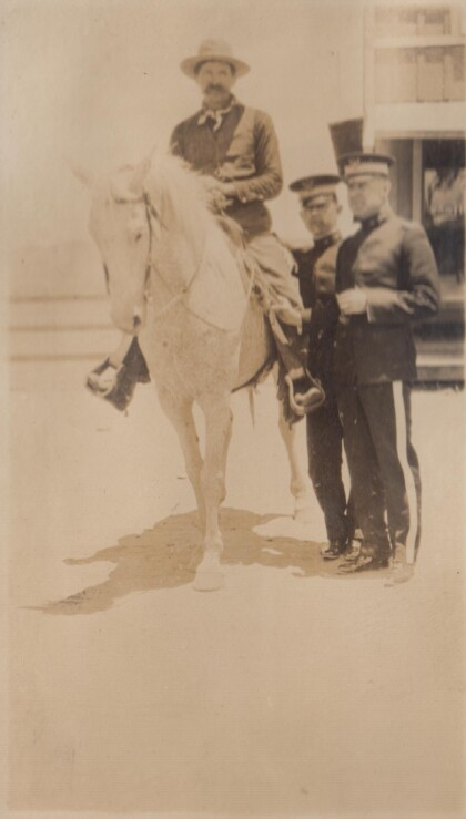
A "Bad Man" at Albuquerque, New Mexico
In 1915, the Richmond Light Infantry took a train trip to ...
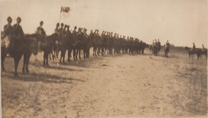
Inspection, B Troop, Virgina Cavalry
Lt. Col. Featherstone was First Sergeant, then 2nd Lieutenant, ...
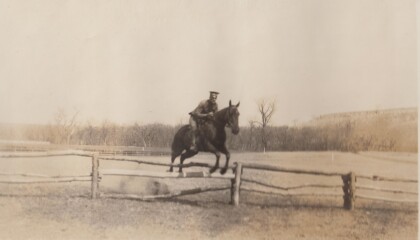
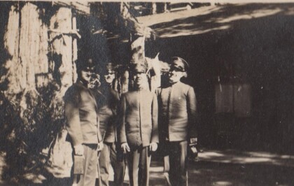
Capt. Puller [sic], Virginia Cavalry
The Virginia Cavalry was a National Guard unit that served on ...




![Capt. Puller [sic], Virginia Cavalry](https://www.digie.org/media_cache/27601/27601_latest_upload.jpg)
