Plat of the Town of El Paso
Plano del Pueblo de El Paso
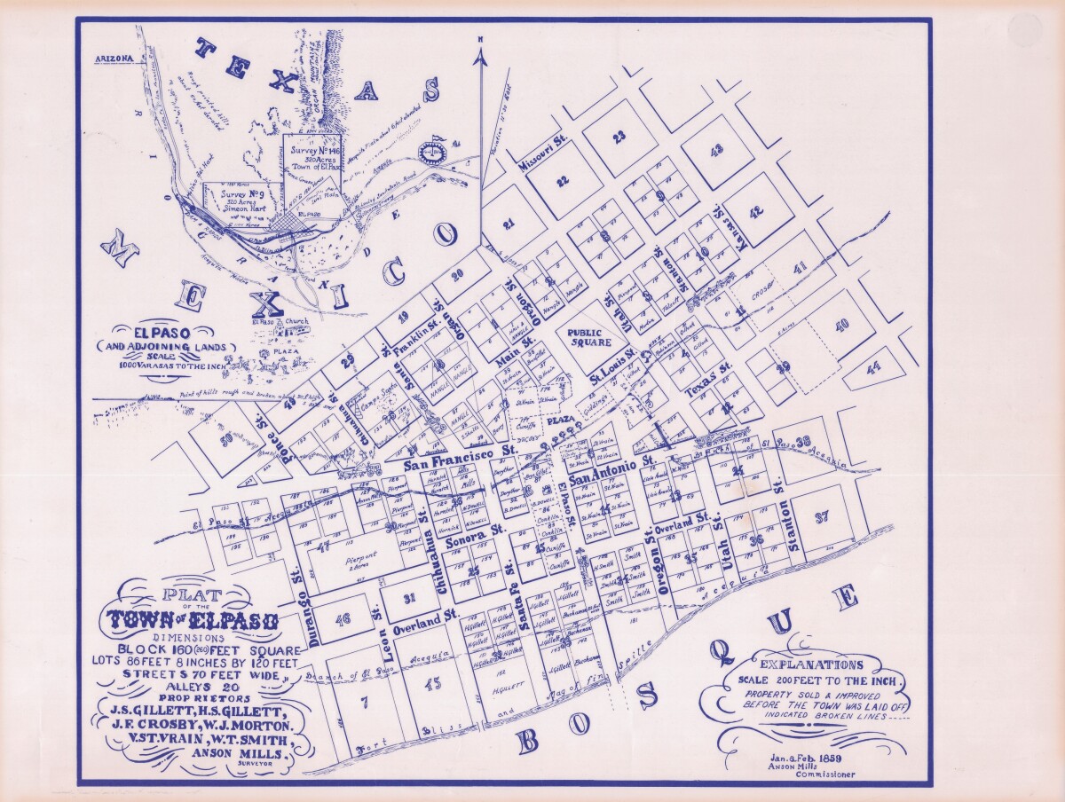
Plat of the Town of El Paso
Plat map of the Town of El Paso (Texas); includes dimensions for lots, streets, alleys; an inset with topographical representations; Scale of adjoining lands is 1000 to the inch; Explanations scale is 200 feet to the inch; Survey details and Acequia (canal) lines shown.
Report this entry
More from the same community-collection
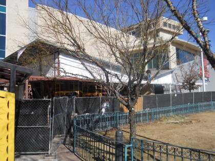
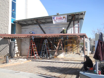
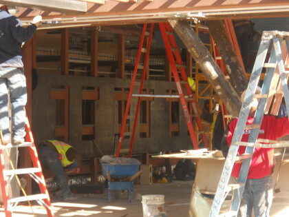
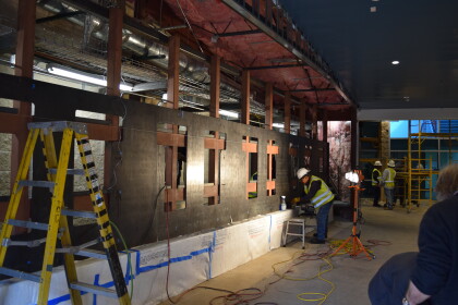
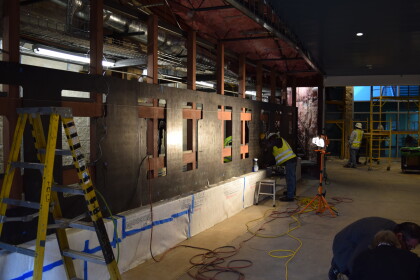
DIGIE El Paso Museum of History, Jan 7, 2015
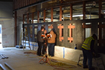
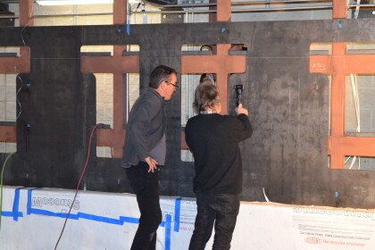
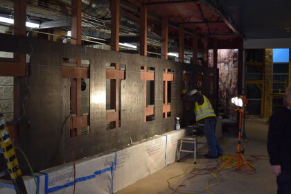
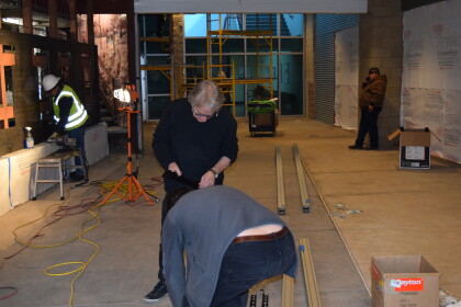
DIGIE under construction January 7, 2015.Picture shows entry to ...
Sister Aloysius Williams - El Paso, Texas
Sister Aloysius Williams administrator of Hotel Dieu School of ...
Ring Around The Sun - El Paso, Texas
While walking around Federal Courthouse on Magoffin, captured ...
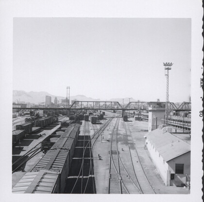
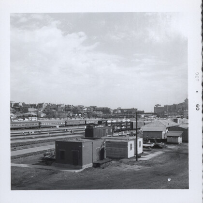
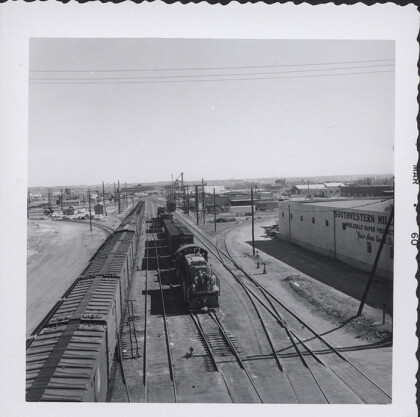
Railroad, view towards downtown, 1960
The image shows the railroad tracks and some trains leading to ...
