Plat of the Town of El Paso
Plano del Pueblo de El Paso
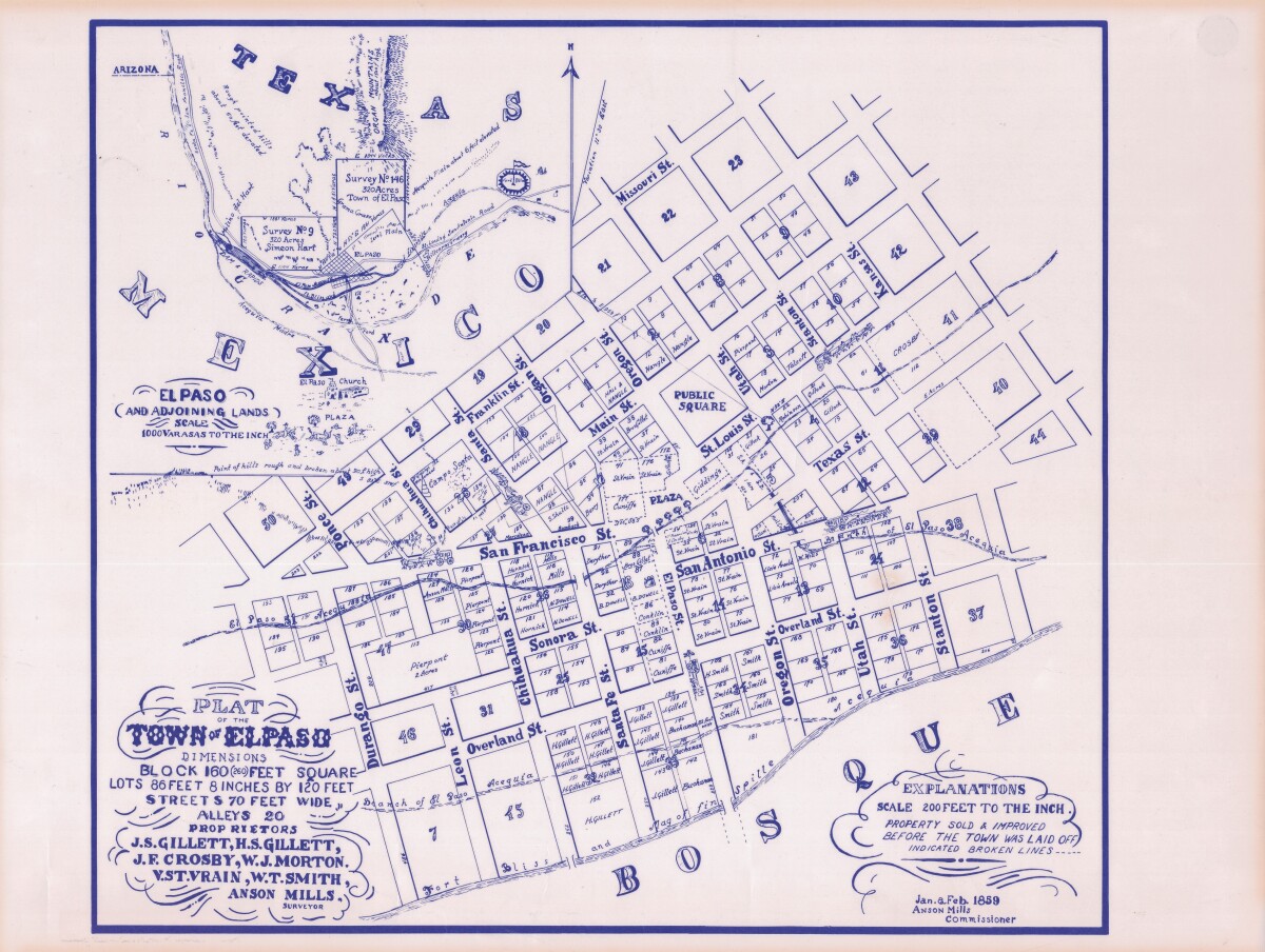
Plat of the Town of El Paso
Plat map of the Town of El Paso (Texas); includes dimensions for lots, streets, alleys; an inset with topographical representations; Scale of adjoining lands is 1000 to the inch; Explanations scale is 200 feet to the inch; Survey details and Acequia (canal) lines shown.
Report this entry
More from the same community-collection
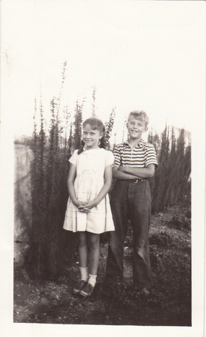
David S. Billingsley and Helen L. Billingsley
These children are identified as David S. Billingsley and Helen ...
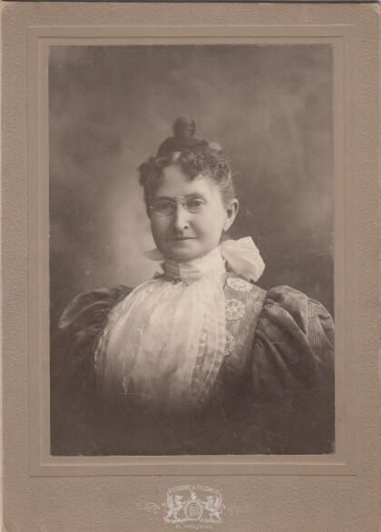
Billy Wilson and Mrs. U.S. Stewart
Mrs. Ulysses S. Stewart was married to a cashier of the First ...
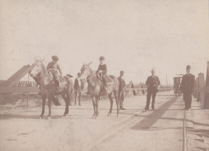
International Bridge - circa 1895
This view shows two boys on horse or mule back, with a glimpse ...
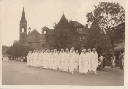
Group of Women in a Religious Procession
Groups of women dressed in white gowns walking down Mesa street ...
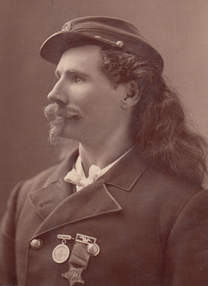
Captain Jack Crawford, the Poet Scout
A Civil War veteran, scout with General Crook, actor in Buffalo ...
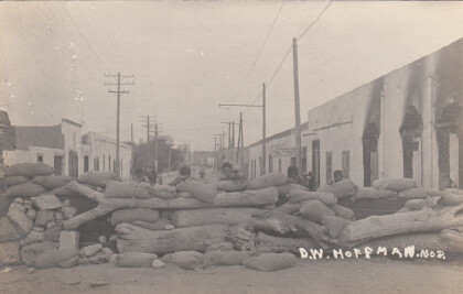
Barricade on Commercial Street, Juarez
The picture was taken at Calle de Comercio, Juarez, during the ...
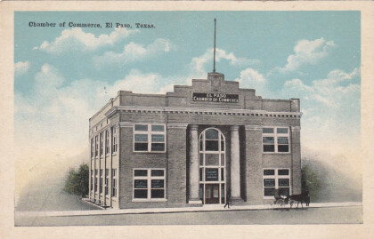
El Paso Chamber of Commerce - El Paso, Texas
Chamber of Commerce, El Paso, Texas. Visible: A gray building ...
