Plat of the Town of El Paso
Plano del Pueblo de El Paso
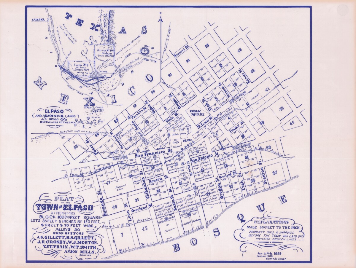
Plat of the Town of El Paso
Plat map of the Town of El Paso (Texas); includes dimensions for lots, streets, alleys; an inset with topographical representations; Scale of adjoining lands is 1000 to the inch; Explanations scale is 200 feet to the inch; Survey details and Acequia (canal) lines shown.
Report this entry
More from the same community-collection
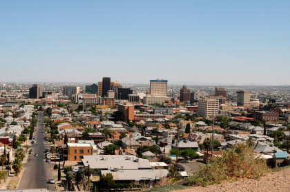
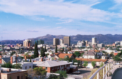
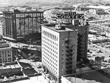
Panoramic view over El Paso downtown
The picture is made from north of Downtown and shows El Paso ...
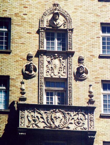
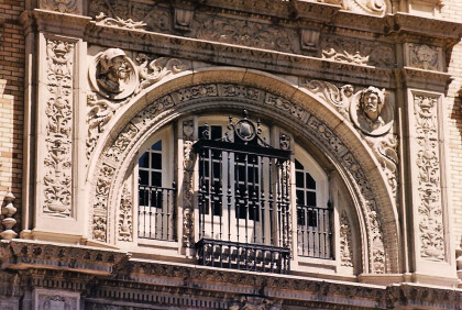
Carvings of Spaniards on Cortez Building
The picture shows parts of the decoration of the Cortez ...
Tiffany Dome in Camino Real Hotel
This 25-foot Tiffany glass dome graces the lobby of the Camino ...
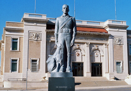
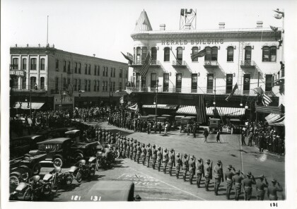
Parade of US Army through Downtown
US Army troops parading through Pioneer Plaza with the Herald ...
