Plat of the Town of El Paso
Plano del Pueblo de El Paso
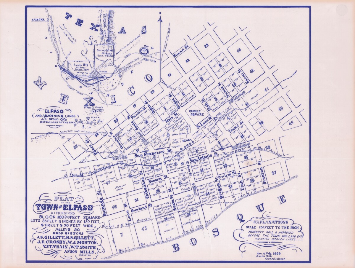
Plat of the Town of El Paso
Plat map of the Town of El Paso (Texas); includes dimensions for lots, streets, alleys; an inset with topographical representations; Scale of adjoining lands is 1000 to the inch; Explanations scale is 200 feet to the inch; Survey details and Acequia (canal) lines shown.
Report this entry
More from the same community-collection
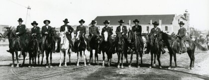
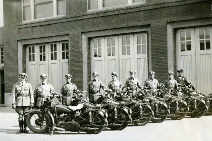
Mounted Policemen on Santa Fe Street - 1901
Mounted policeman on horseback. All wearing dark colored ...
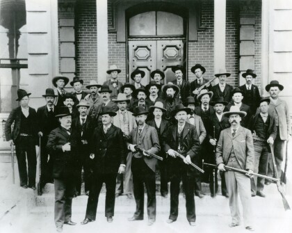
Texas Rangers in Front of El Paso County Court House
Group of Texas Rangers on the steps of the El Paso County Court ...
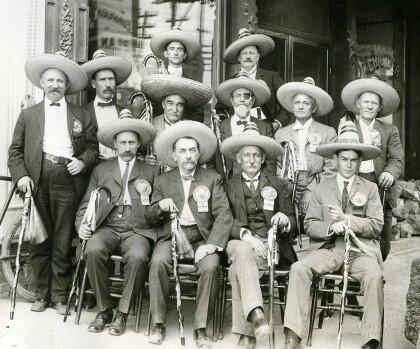
International Mining Congress Delegates
Group of International Mining Congress Delegates. All dressed in ...
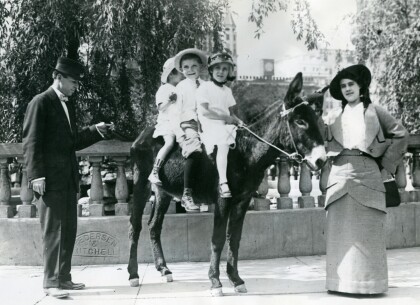
Three Children on Donkey - 1910 - 1919
Three children on a donkey--a woman, maybe their mother, to the ...
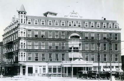
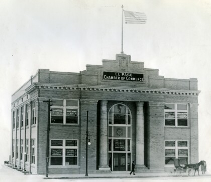
El Paso, Texas Chamber of Commerce in 1910s
Image of the building of Chamber of Commerce in the 1910s.
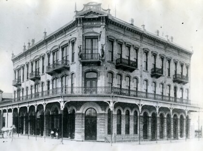
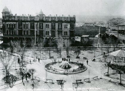
Grand Central Hotel - El Paso, Texas
The Grand Central Hotel was situated at Pioneer Plaza, at the ...
