Plat of the Town of El Paso
Plano del Pueblo de El Paso
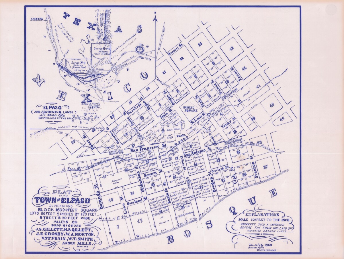
Plat of the Town of El Paso
Plat map of the Town of El Paso (Texas); includes dimensions for lots, streets, alleys; an inset with topographical representations; Scale of adjoining lands is 1000 to the inch; Explanations scale is 200 feet to the inch; Survey details and Acequia (canal) lines shown.
Report this entry
More from the same community-collection
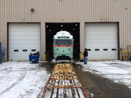
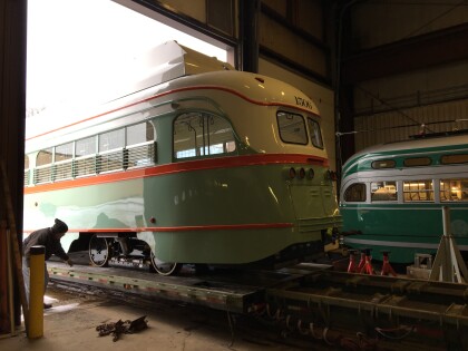
El Paso Streetcar Brookville Load-In
El Paso Streetcar: Car #1506 being loaded onto freight truck at ...
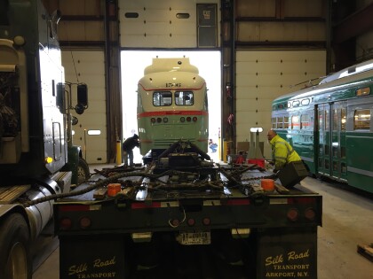
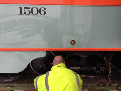
El Paso Streetcar Brookville Load-In
El Paso Streetcar: Car #1506 being loaded onto freight truck at ...
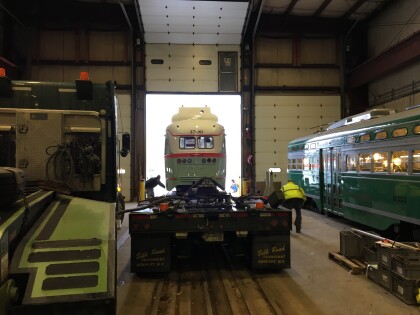
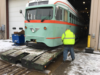
El Paso Streetcar Brookville Load-In
El Paso Streetcar: Car #1506 being loaded onto freight truck at ...
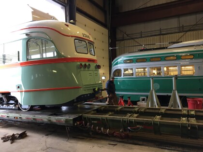
El Paso Streetcar Brookville Load-In
El Paso Streetcar: Car #1506 being loaded onto freight truck at ...
El Paso Streetcar Brookville Load-In
El Paso Streetcar: Car #1506 being loaded onto freight truck at ...
El Paso - Downtown street scene
San Antonio Street looking west, Hotel Paso Del Norte at the end ...
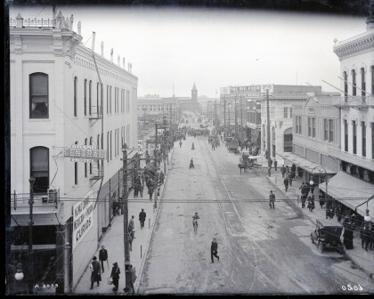
El Paso - Downtown street scene
San Francisco street looking West. Union Depot is at the West ...
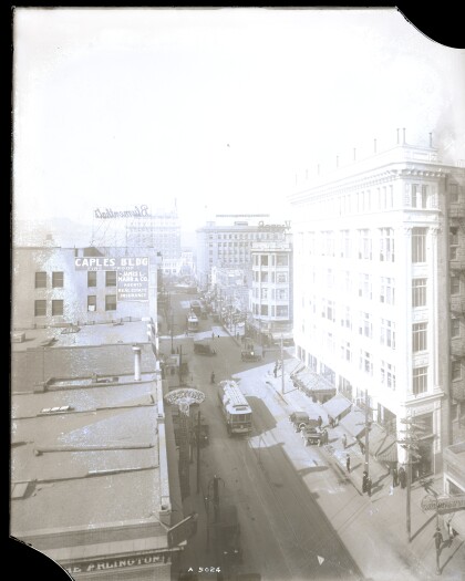
El Paso - Downtown street scene
San Antonio Street Caples building dead end (bluementhal above). ...
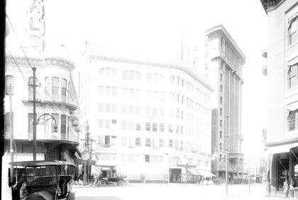
El Paso, TX, Downtown Street Scene, circa 1905
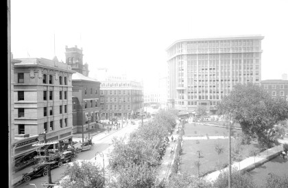
Mills Building overlooking San Jacinto Plaza. Federal Building.
