Plat of the Town of El Paso
Plano del Pueblo de El Paso
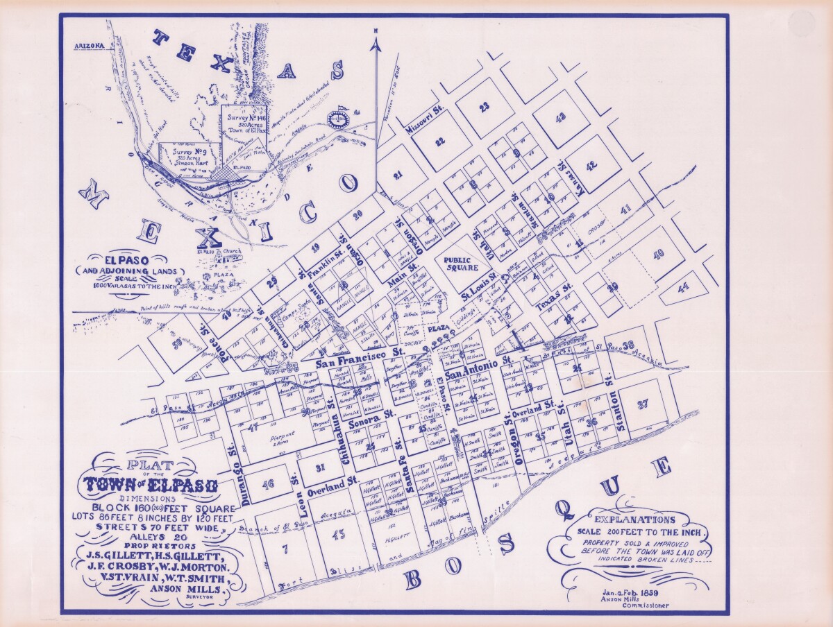
Plat of the Town of El Paso
Plat map of the Town of El Paso (Texas); includes dimensions for lots, streets, alleys; an inset with topographical representations; Scale of adjoining lands is 1000 to the inch; Explanations scale is 200 feet to the inch; Survey details and Acequia (canal) lines shown.
Report this entry
More from the same community-collection
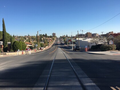
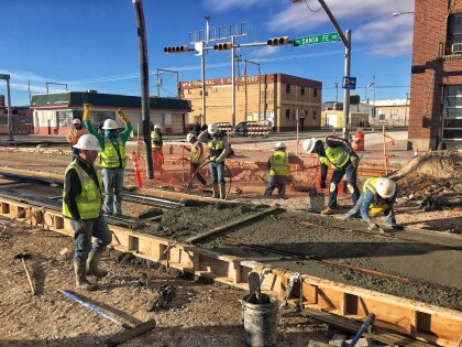
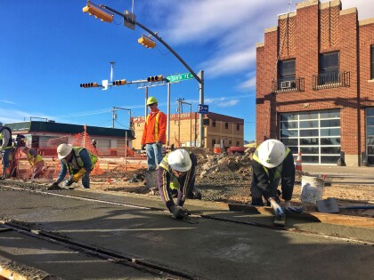
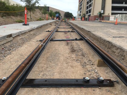
El Paso Streetcar Track Construction
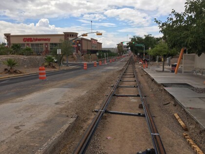
El Paso Streetcar: All of the tracks, including this section in ...
El Paso Streetcar Track Construction
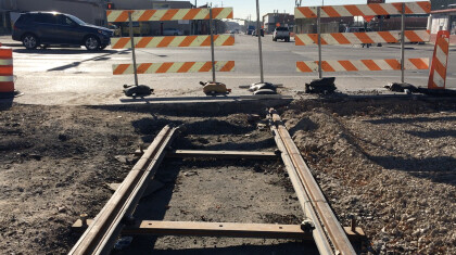
El Paso Streetcar: Construction of the 4.8 mile streetcar route ...
El Paso Streetcar Track Construction
El Paso Streetcar: Construction of the 4.8 mile streetcar route ...
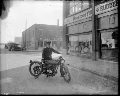
City Police Motorcycle - El Paso, Texas
A police officer poses for a photograph with his Harley-Davidson ...
El Paso Streetcar Track Construction
El Paso Streetcar: Construction of the 4.8 mile streetcar route ...
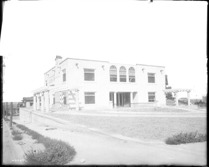
Residence of Charles E. Davis - El Paso, Texas
Photos of Charles E. Davis Jr.'s residence located at 625 W. ...
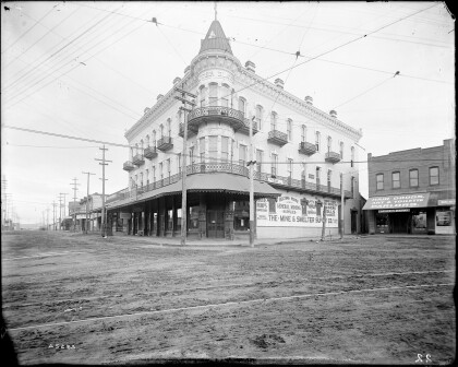
The Mine and Smelter Supply Co. - El Paso, Texas circa 1905
Photo of the Mine & Smelter Supply Co. located at 101 San ...
