Official Map of El Paso, Texas
Mapa official de El Paso, Texas
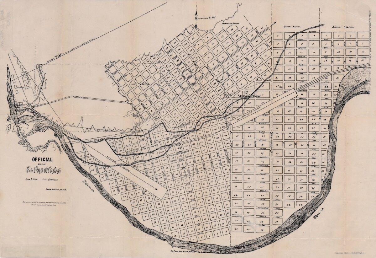
Official Map of El Paso, Texas
Official area map of El Paso, Texas. Includes streets, blocks and additions; railroad reserve lines; city limit lines; Scale is 400 feet per inch.
Report this entry
More from the same community-collection
Our Lady Youth Center ("KC") Youth Summer Volunteer Worker
Group picture of boys who would do yard work in other ...
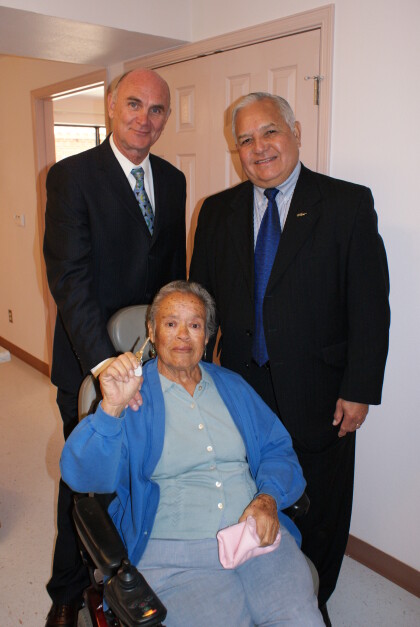
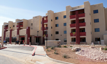
Alamito Terrace Dedication - El Paso, Texas
Pictured Mayor John Cook & US House Representative Silvestre ...
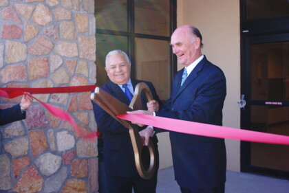
Alamito Terrace Dedication II - El Paso, Texas
Image shows U.S. House Representative Sylvester Reyes and Mayor ...
Alamito Residents and Los Tigres del Norte
Mexican Nortena band Los Tirgres del Norte surprised Alamito ...

