Official Map of El Paso, Texas
Mapa official de El Paso, Texas
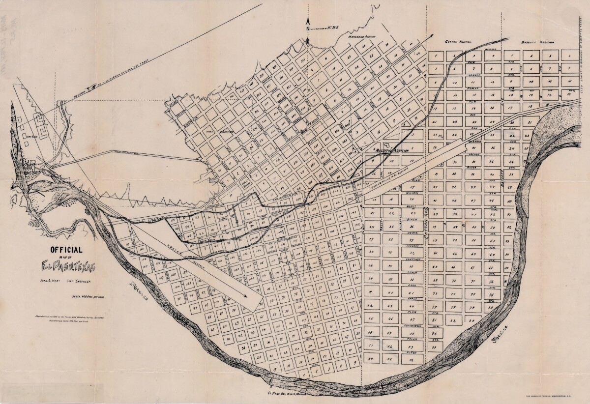
Official Map of El Paso, Texas
Official area map of El Paso, Texas. Includes streets, blocks and additions; railroad reserve lines; city limit lines; Scale is 400 feet per inch.
Report this entry
More from the same community-collection
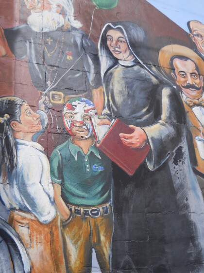
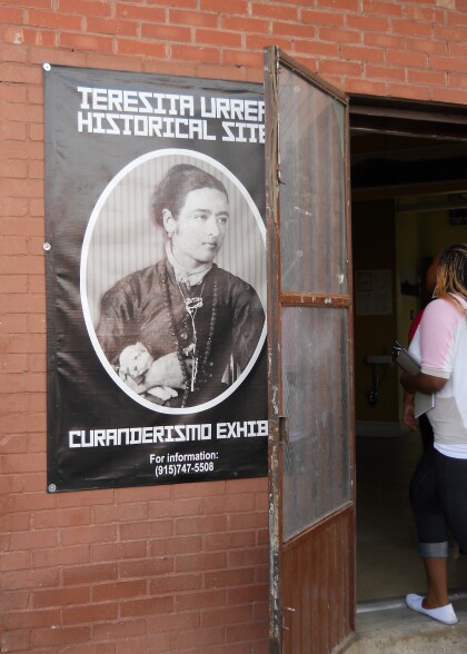
Teresita Urrea Historic Site - El Paso, Texas
A plaque is now at this site where healer-saint-revolutionary ...
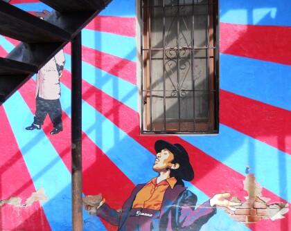
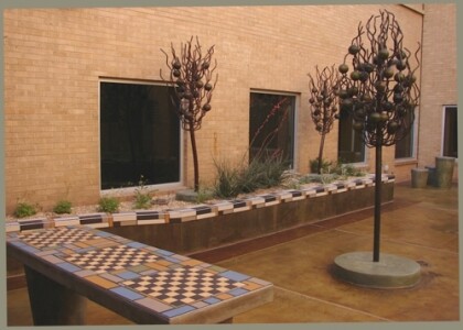
Blooming Trees & Color Schemes Public Art
Public Art Artist: Cesar Ivan Material: Tile, Steel and ...
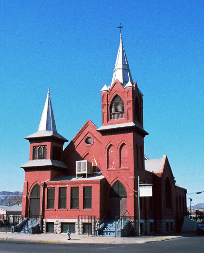
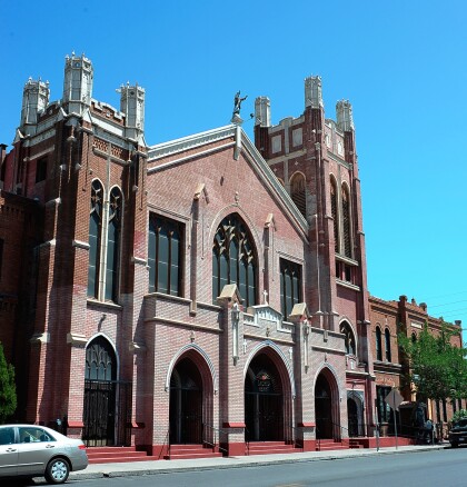
Second Baptist Church - El Paso, Texas
The photograph shows the Second Baptist Church. This building at ...
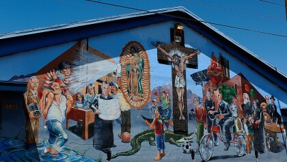
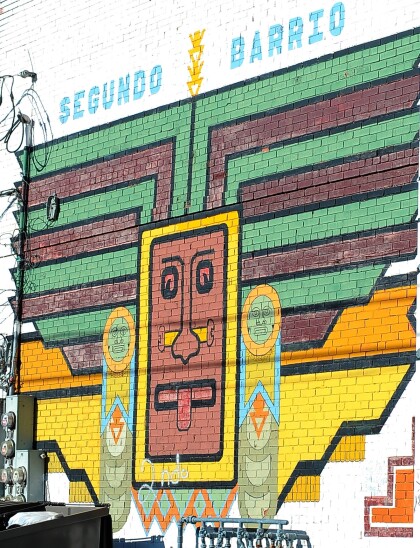
el segundo barrio, El Paso, Texas
Segundo Barrio near Sacred Heart Church located in 513 E. Father ...
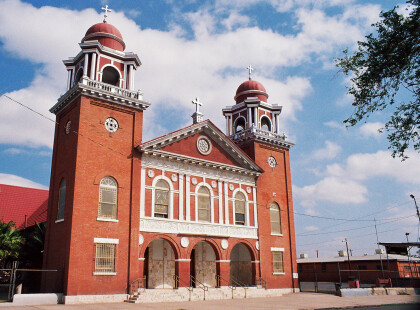
Sacred Heart Catholic Church - El Paso, Texas - 2014
The Rev. Carlos M. Pinto, S.J., a native Italian, arrived in El ...


Nice map. Is there a date on it?