City of El Paso Annexation Map
Mapa de anexión de la Ciudad de El Paso
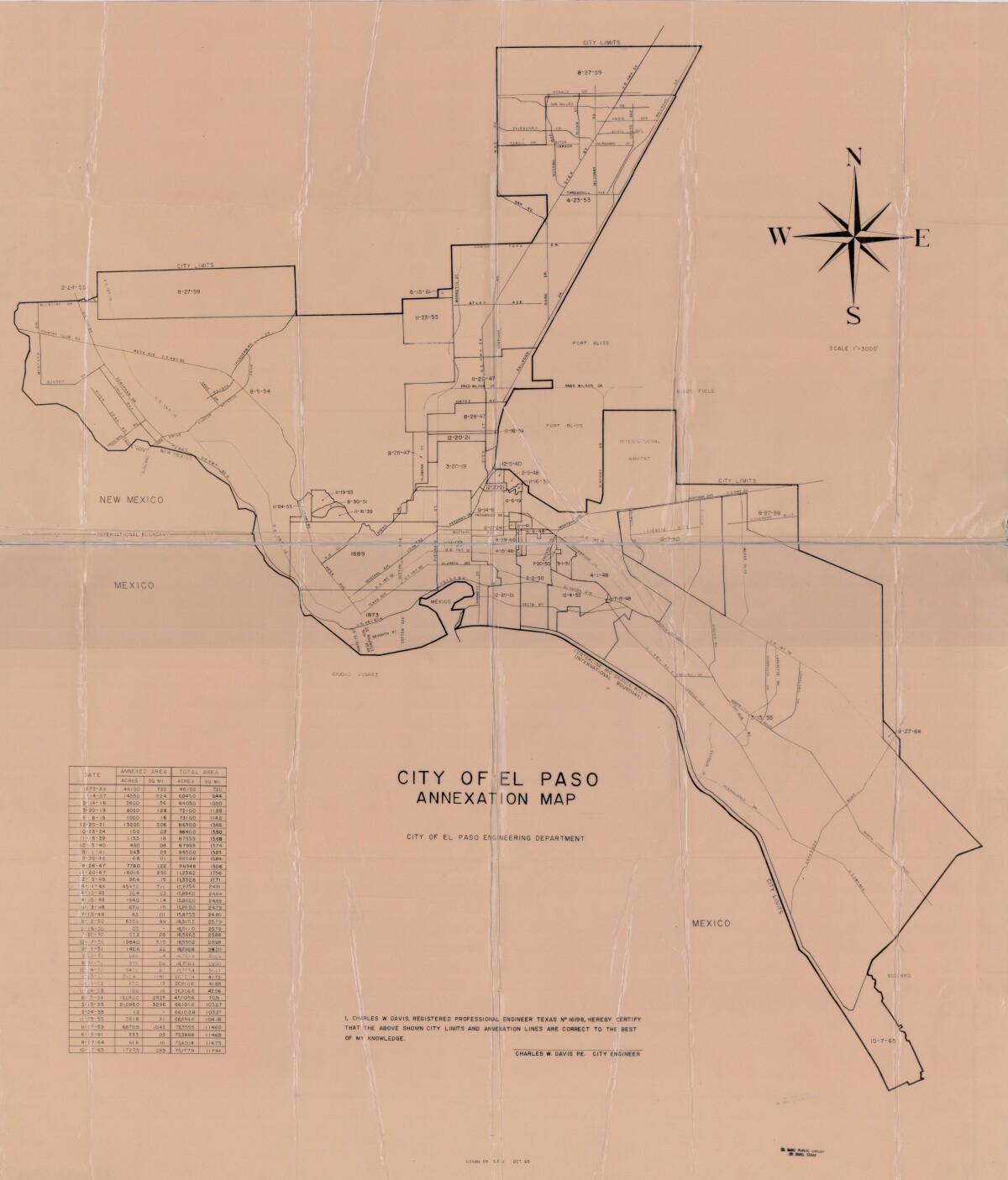
City of El Paso Annexation Map
Annexation map of the City of El Paso, Texas. Includes a chart showing the annexation date, the annexed area acreage and square miles; and the total area acreage and square miles.
Report this entry
More from the same community-collection
Argyria Louise White, aged 5 months
There were a number of families named White living in El Paso at ...
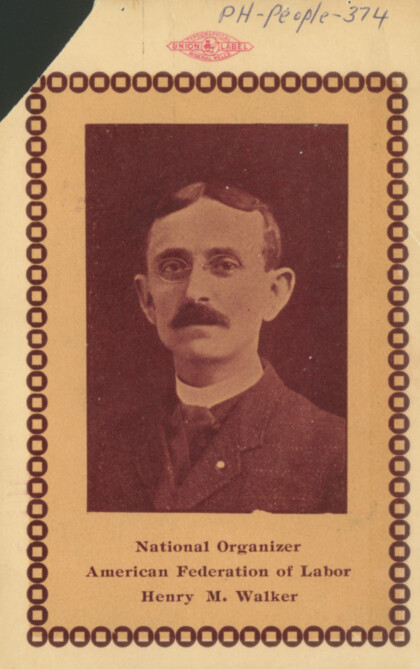
Henry M. Walker - Secretary of the El Paso Central Labor Union
Henry M. Walker served in 1898 in Galveston, Tex. as president ...
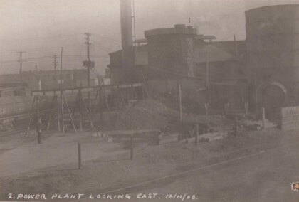
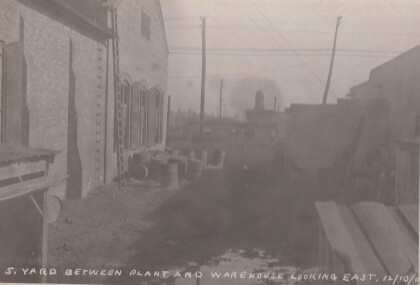
Yard between electric plant and warehouse looking east.
Possibly the power plant on Santa Fe St. You can see a wooden ...
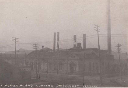
Electric Power Plant looking southwest.
A beautiful brick building with power lines strung everywhere. ...
First To Graduate From El Paso's Only High School-1887
Image caption: Kate Moore was one of two members of the first ...
