City of El Paso Annexation Map
Mapa de anexión de la Ciudad de El Paso
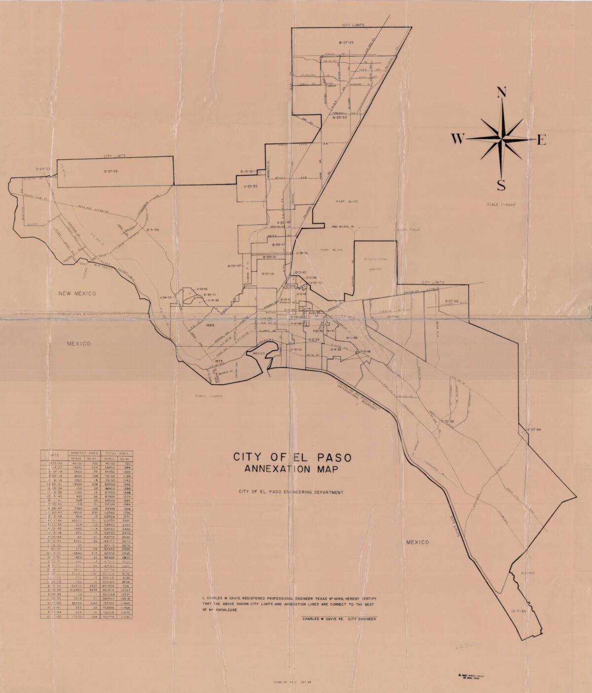
City of El Paso Annexation Map

Annexation map of the City of El Paso, Texas. Includes a chart showing the annexation date, the annexed area acreage and square miles; and the total area acreage and square miles.

Area: Central / Downtown

Source: City of El Paso Engineering Department; Charles W. Davis, City Engineer

Uploaded by: Border Heritage Center

Comments

Add a comment
Thank you for your comment

Report this entry

Choose the most important reason for this report

Your name

Your email address

Optional detail

Thank you for your report

More from the same community-collection

Alternative Band Poster 2000s

Alternative music show at E9 on 511 Western Street.

Alternative Band Poster 2000s

Alternative music poster for show at the T-Lounge on 1218 Texas ...

Alternative Band Poster 2000s

Record release poster for alternative music in the 2000s.

The Dream Monster

Artist MJAYM working on his cartoon character The Dream Monster ...

home.search_collection