City of El Paso Annexation Map
Mapa de anexión de la Ciudad de El Paso
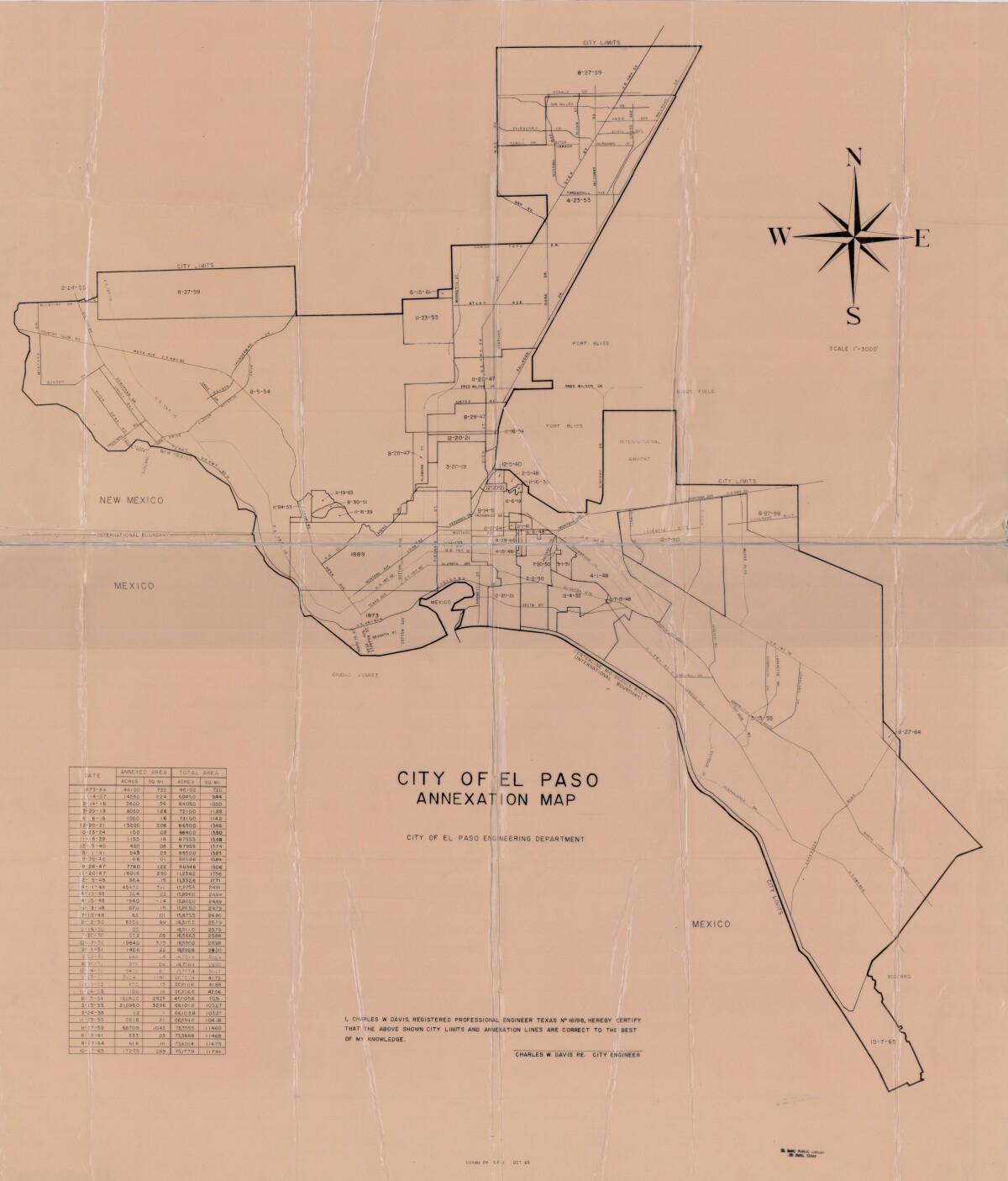
City of El Paso Annexation Map
Annexation map of the City of El Paso, Texas. Includes a chart showing the annexation date, the annexed area acreage and square miles; and the total area acreage and square miles.
Report this entry
More from the same community-collection
Lobby - Interior Of Camino Real - El Paso, Texas
Title: S. EL PASO ST., 115-117 S. EL PASO ST., INTERIOR, LOBBY - ...
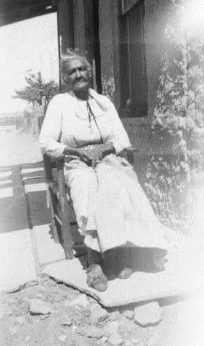
Rosa Washington, ex-slave, El Paso - 1937
Rosa Washington of El Paso, Texas who was an ex-slave. Date of ...
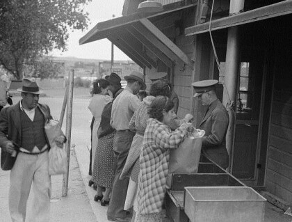
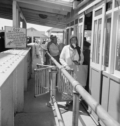
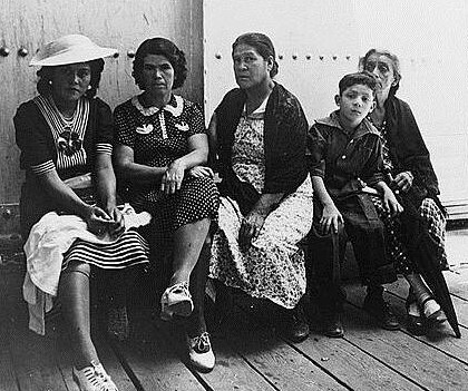
Mexicans Entering The United States - 1938
United States immigration station, El Paso, Texas - June 1938
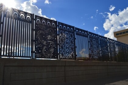
Bataan Trainway Fence - Reclaimed Crossing
Artist: Bruce Taylor The work relies heavily upon the use of ...
Bataan Trainway Fence - La Plaza de Los Lagortos
Artist: Leticia Huerta Huerta’s design concept is inspired ...
