City of El Paso Annexation Map
Mapa de anexión de la Ciudad de El Paso
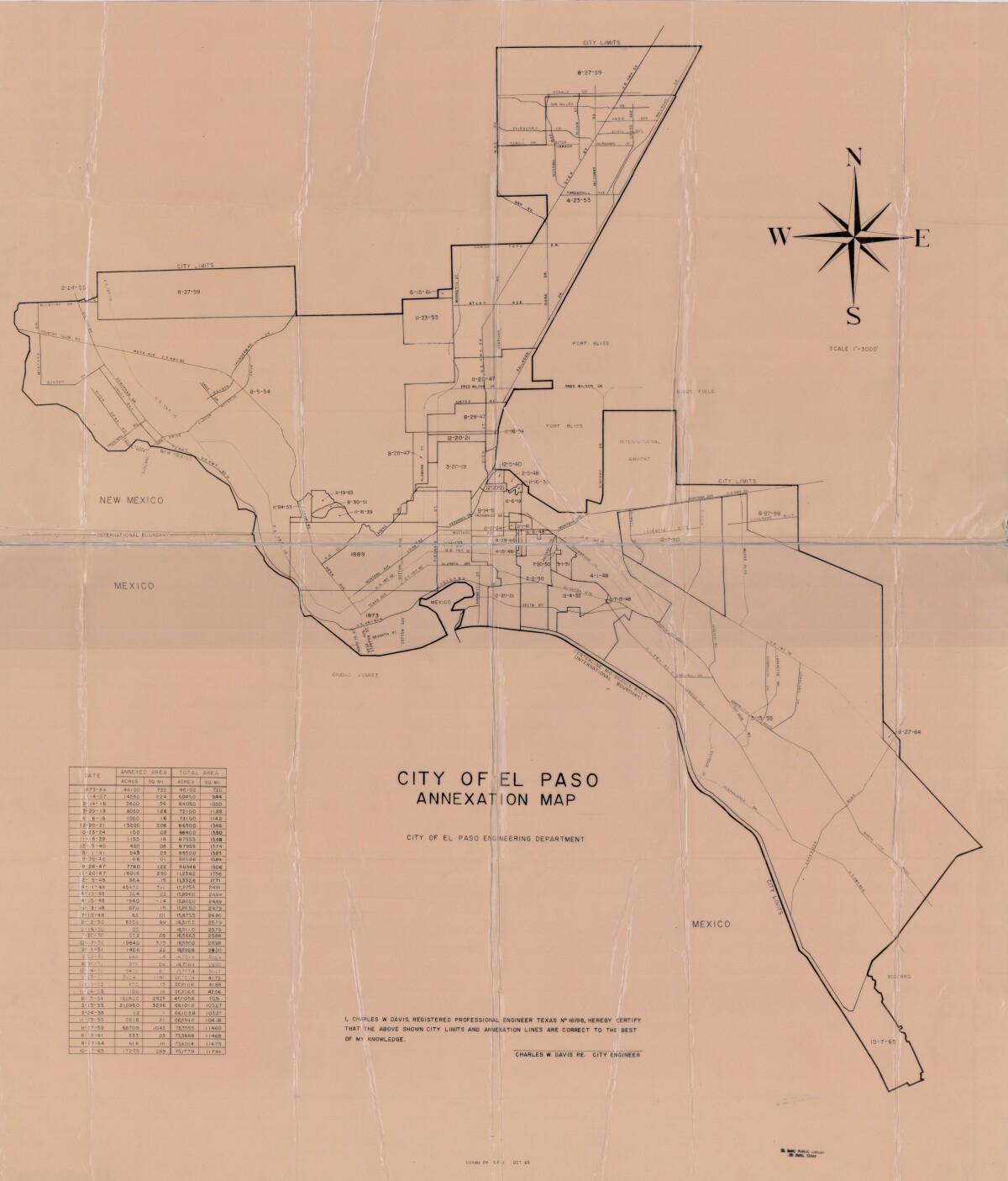
City of El Paso Annexation Map
Annexation map of the City of El Paso, Texas. Includes a chart showing the annexation date, the annexed area acreage and square miles; and the total area acreage and square miles.
Report this entry
More from the same community-collection
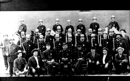
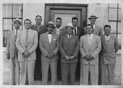
El Paso Police Department - 1908
Entire police department in front of police headquarters. Seated ...
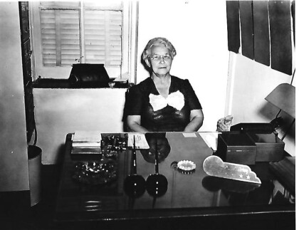
Detective Callie Fairley - 1929 - 1952 - El Paso, Texas
Callie Fairley was hired by the city police department as a ...
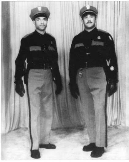
Officers Bobby Grayson and Milton Lege - 1955
Both men were the first of six Black officers to join the ...
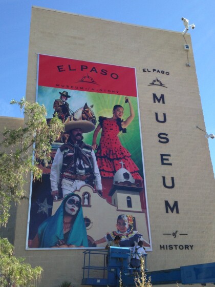
Banner - El Paso Museum of History - 2016
Banner located at 510 North Santa Fe Street - Downtown, El Paso, ...
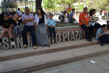
Opening Ceremony - DIGIE - 2015
Celebrating the opening for the digital wall - first of its kind ...
Opening Ceremony - DIGIE - El Paso, Texas 2015
Victoria Sinclair at the opening for the digital wall - one of a ...
Opening Celebration - DIGIE - 2015
Attending the event was the delegation from Copenhagen, Denmark, ...
Opening Ceremony - DIGIE - 2015
Guests poise for picture at the opening ceremony for the digital ...
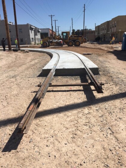
El Paso Streetcar - 2016 - El Paso, Texas
Crews from Paso del Norte Trackworks have been working to lay ...
1st Stryker Brigade Combat Team, 1st Armored Division -- 2016
Photograph - Soldiers sitting in front of the Camino Real Hotel ...
