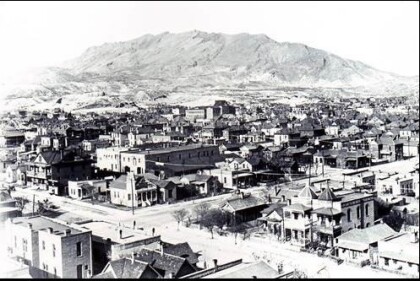
Map and Street Guide of El Paso, Texas circa 1925
Mapa y guía callejera de El Paso Texas
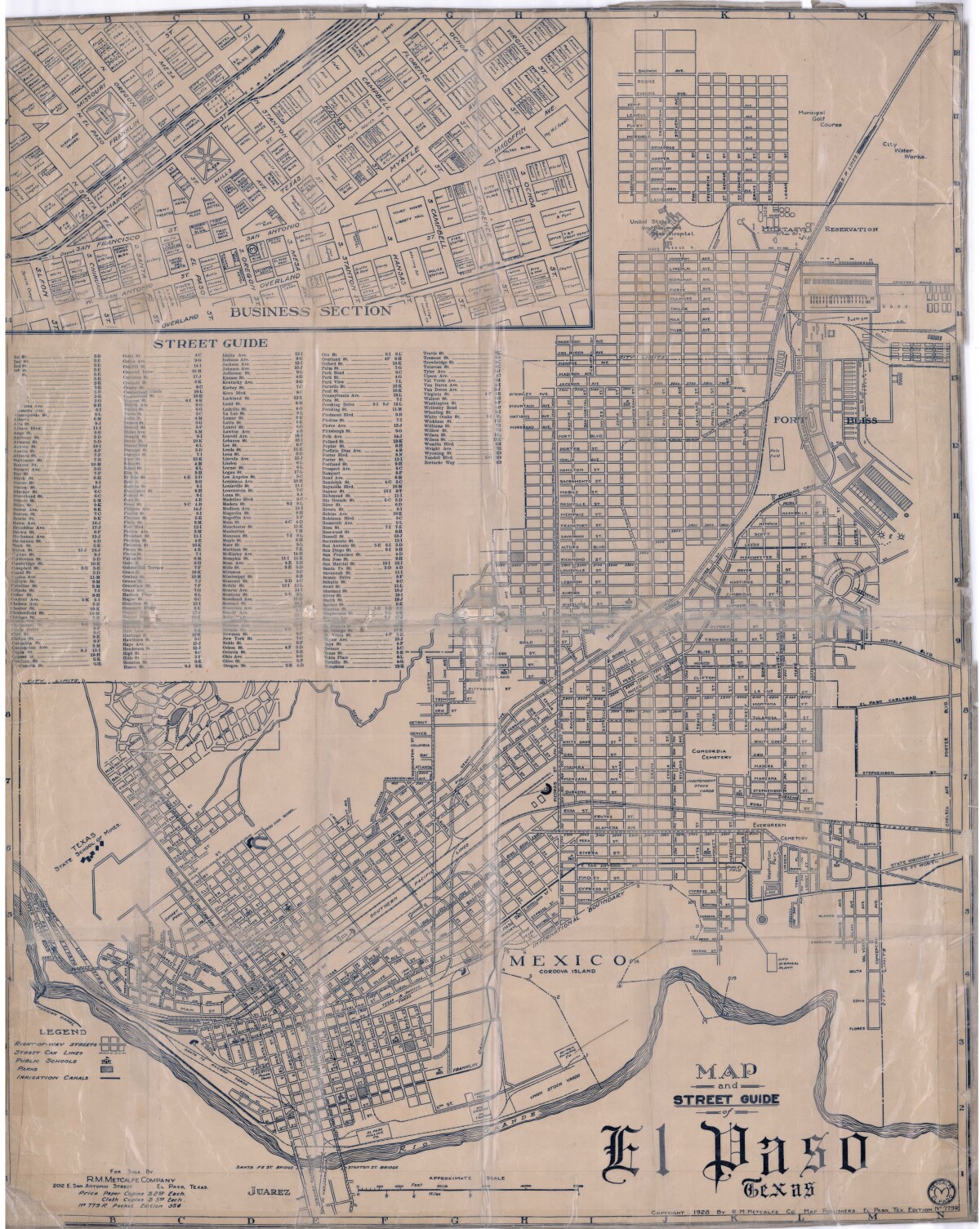
Map and Street Guide of El Paso, Texas circa 1925
Map and street guide of El Paso, Texas. The map includes right-of-way streets, street car lines, public schools, parks and irrigation canals. An inset of the city's business section is shown above the street guide. Highlighted are the Texas State School of Mines; the Santa Fe St. and Stanton St. bridges into Juarez, Mexico; Cordova Island, Mexico; and the area of Ft. Bliss Military Reservation.
Report this entry
More from the same community-collection
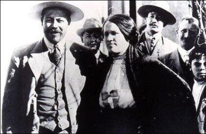
Pancho Villa & his Wife, Luz Corral Villa
Mayor Tom Lea arrested Luz Corral Villa for arms smuggling ...
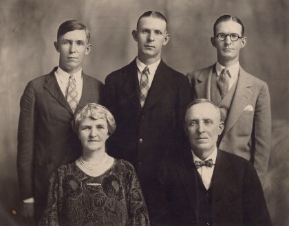
Gus Momsen Family: Gus Jr, Rueben, Leo, Katie and Gus Sr.
This is a portrait of the Momsen family. Mr. Momsen established ...
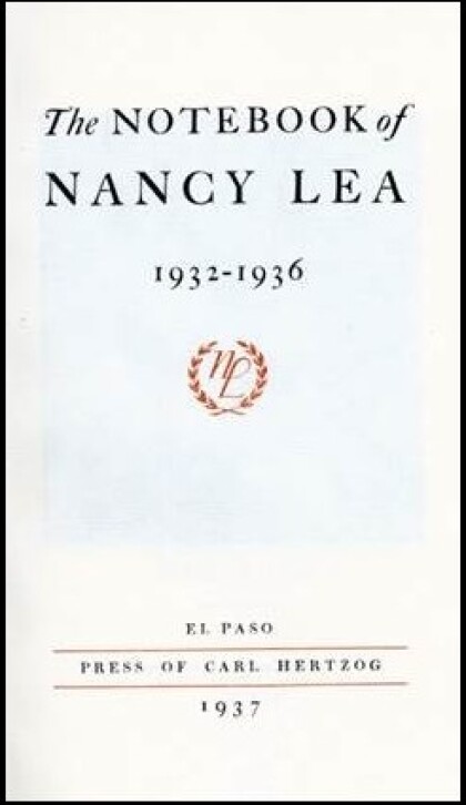
The NoteBook of Nancy Lea - El Paso, Texas
Tom Lea's wife, Nancy Lea. Tom Lea commemorated her by ...
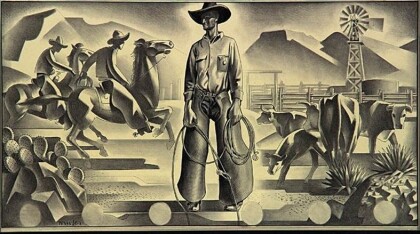
Study for the mural on the North Wall
Tom Lea, Study for the mural on the North Wall, West Texas room, ...
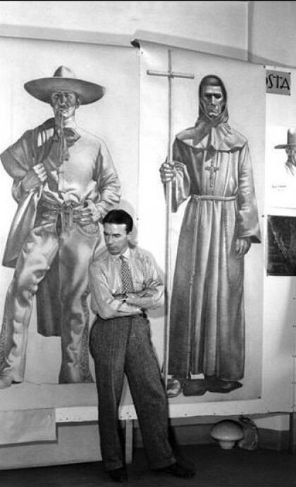
At the Grand Opening for the Second Wall of Giants
Former Farah employees enjoyed the reunion during the Grand ...
During the Grand Opening for the Farah Wall of Giants
There is so much to see and to discuss during the Grand Opening ...
Former Farah Manufacturing Company Employees
Former Farah Manufacturing Company Employees at the Grand ...
