Map and Street Guide of El Paso, Texas circa 1925
Mapa y guía callejera de El Paso Texas
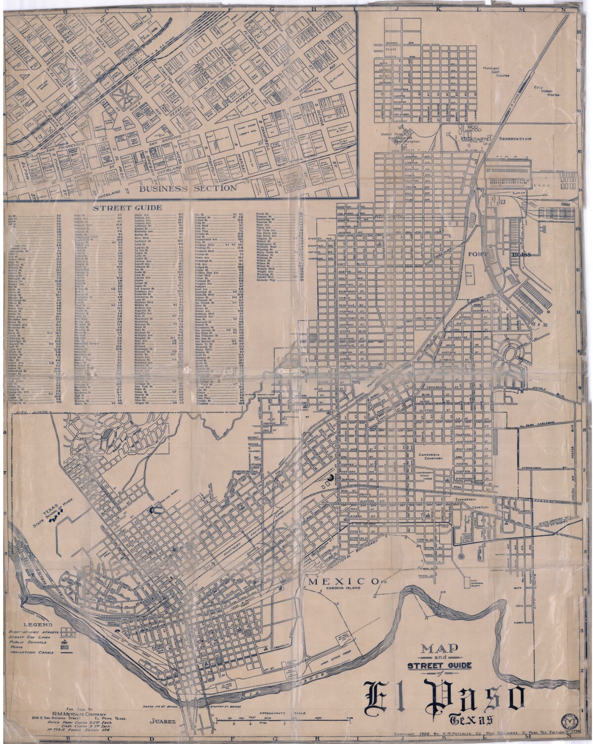
Map and Street Guide of El Paso, Texas circa 1925
Map and street guide of El Paso, Texas. The map includes right-of-way streets, street car lines, public schools, parks and irrigation canals. An inset of the city's business section is shown above the street guide. Highlighted are the Texas State School of Mines; the Santa Fe St. and Stanton St. bridges into Juarez, Mexico; Cordova Island, Mexico; and the area of Ft. Bliss Military Reservation.
Report this entry
More from the same community-collection
A great time at the first day of the Chihuahuas for 2015
April 14,2015 Chihuahuas against Remo. Unfortunately, we lost ...
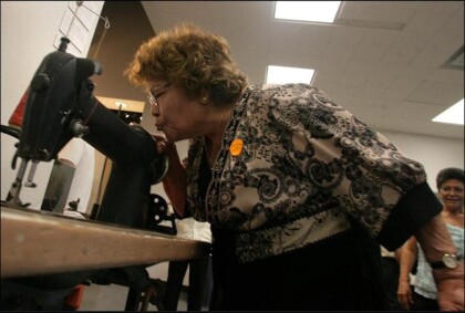
Teresa Aguirre, former Farah employee
Teresa Aguirre, 81, bends down to kiss the Singer 241-12 ...
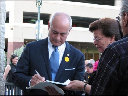
Jim Farah autographing the book about his father
Jim Farah autographing the book, " Willie Farah the ...
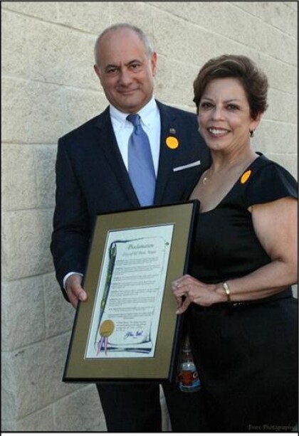
Jim Farah and City Representative Emma Acosta
Farah and City Representative Emma Acosta holding the City ...
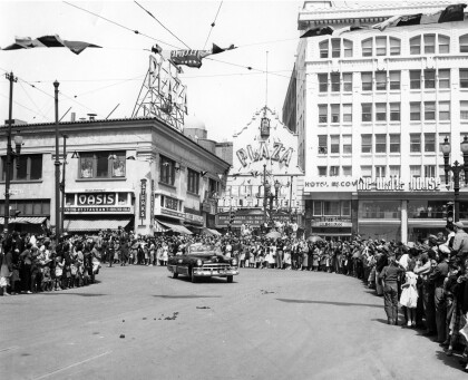
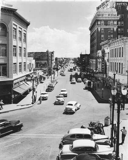
El Paso Street in 1940s - El Paso, Texas
The image shows El Paso Street in the 1940s. To the right, the ...
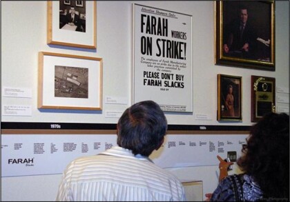
Looking at the Farah Manufacturing Timeline
Looking at the Farah Manufacturing Timeline: Inside of the ...
