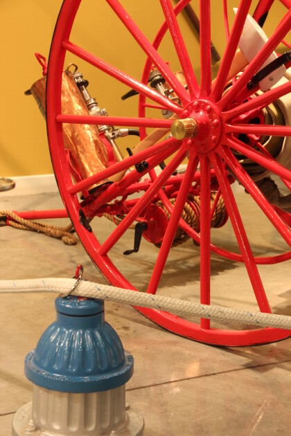
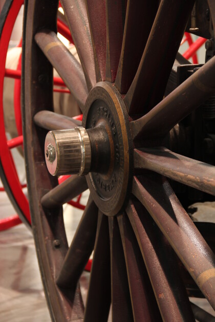
Map and Street Guide of El Paso, Texas circa 1925
Mapa y guía callejera de El Paso Texas
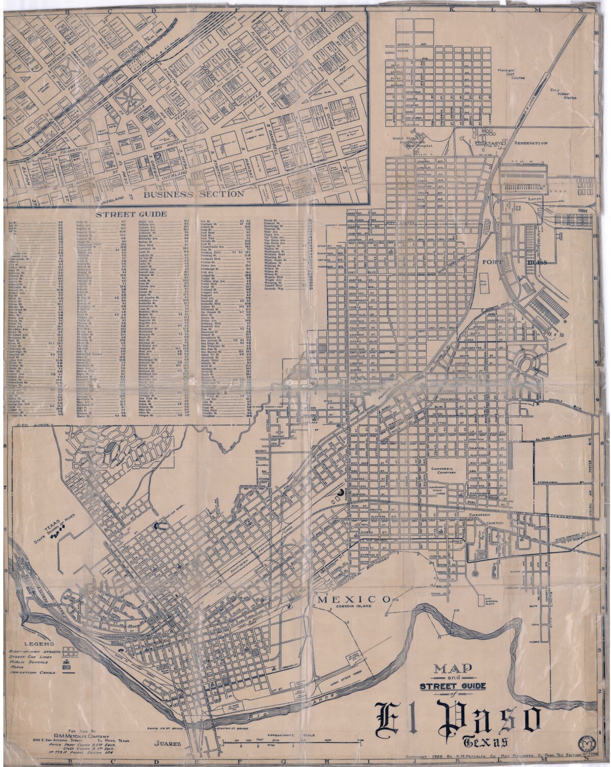
Map and Street Guide of El Paso, Texas circa 1925
Map and street guide of El Paso, Texas. The map includes right-of-way streets, street car lines, public schools, parks and irrigation canals. An inset of the city's business section is shown above the street guide. Highlighted are the Texas State School of Mines; the Santa Fe St. and Stanton St. bridges into Juarez, Mexico; Cordova Island, Mexico; and the area of Ft. Bliss Military Reservation.
Report this entry
More from the same community-collection
DIGIE Wall kick-off celebration
El Paso Mayor Oscar Leeser and members of the Denmark delegation ...
DIGIE Wall kick-off celebration
El Paso Mayor Oscar Leeser and members of the Denmark delegation ...
Opening of Paso Del Norte Paranormal Society Offices
Six Guns and Shady Ladies helped Paso Del Norte Paranormal ...
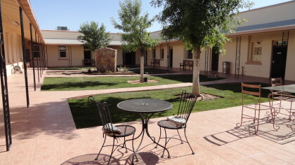
Queen of Peace Convent - El Paso, Texas
Catholic Convent run by Servants of the Sacred Heart Father ...
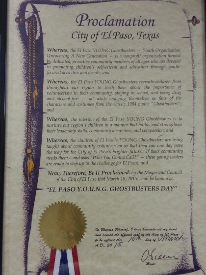
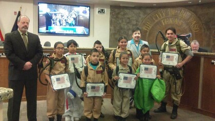
City of El Paso Y.O.U.N.G GHOSTBUSTERS PROCLAMATION
March 18 will always be know as Y.O.U.N.G GHOSTBUSTERS OF EL ...
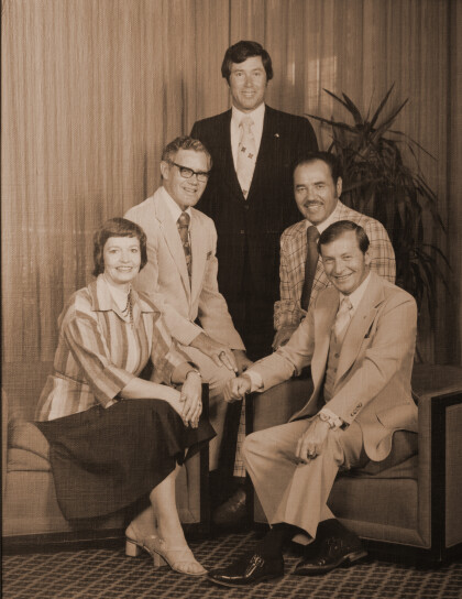
Bicentennial Council 1975 - El Paso, Texas
Bicentennial Council was responsible for acquiring federal money ...
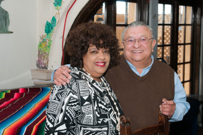
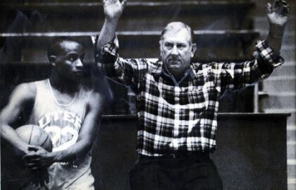
Joe Gomez with Mary Haskins, widow of Don Haskins - El Paso
With Mary Haskins, widow of hall of fame coach, Don Haskins
A Line of Fire Hydrants - EPMH - Different view
Depth of field - Sharper hydrants going into the distance


