Map and Street Guide of El Paso, Texas circa 1925
Mapa y guía callejera de El Paso Texas
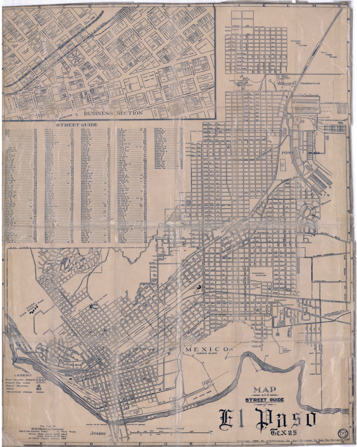
Map and Street Guide of El Paso, Texas circa 1925
Map and street guide of El Paso, Texas. The map includes right-of-way streets, street car lines, public schools, parks and irrigation canals. An inset of the city's business section is shown above the street guide. Highlighted are the Texas State School of Mines; the Santa Fe St. and Stanton St. bridges into Juarez, Mexico; Cordova Island, Mexico; and the area of Ft. Bliss Military Reservation.
Report this entry
More from the same community-collection
Argyria Louise White, aged 5 months
There were a number of families named White living in El Paso at ...
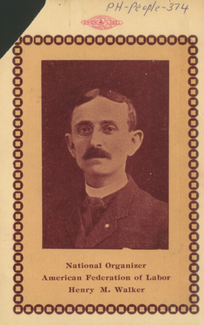
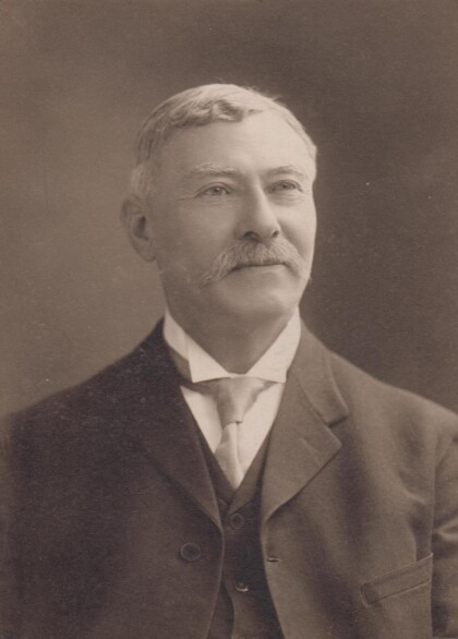
Henry M. Walker - Secretary of the El Paso Central Labor Union
Henry M. Walker served in 1898 in Galveston, Tex. as president ...
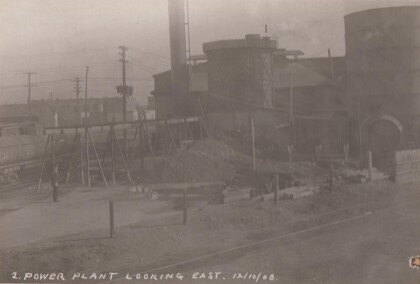
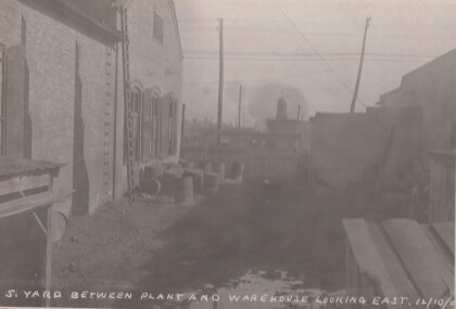
Yard between electric plant and warehouse looking east.
Possibly the power plant on Santa Fe St. You can see a wooden ...
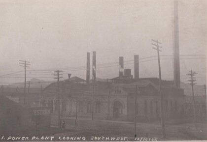
Electric Power Plant looking southwest.
A beautiful brick building with power lines strung everywhere. ...
First To Graduate From El Paso's Only High School-1887
Image caption: Kate Moore was one of two members of the first ...
