Map and Street Guide of El Paso, Texas circa 1925
Mapa y guía callejera de El Paso Texas
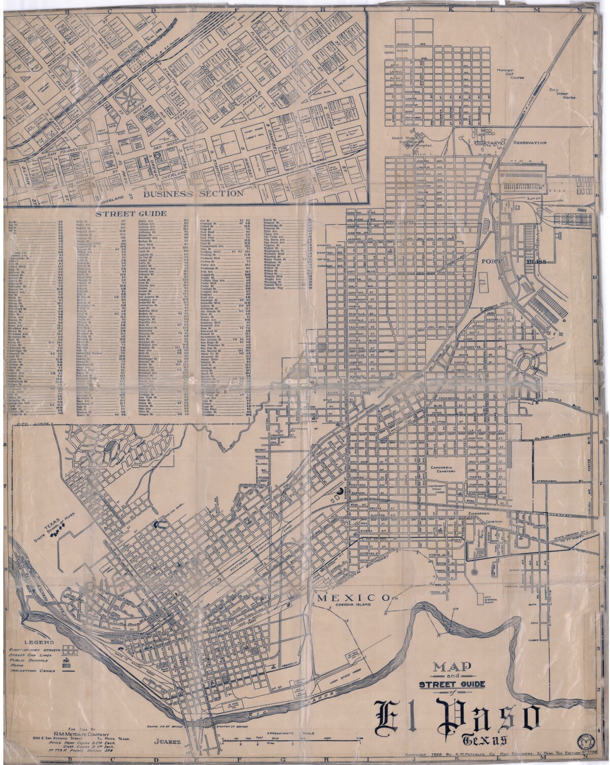
Map and Street Guide of El Paso, Texas circa 1925
Map and street guide of El Paso, Texas. The map includes right-of-way streets, street car lines, public schools, parks and irrigation canals. An inset of the city's business section is shown above the street guide. Highlighted are the Texas State School of Mines; the Santa Fe St. and Stanton St. bridges into Juarez, Mexico; Cordova Island, Mexico; and the area of Ft. Bliss Military Reservation.
Report this entry
More from the same community-collection
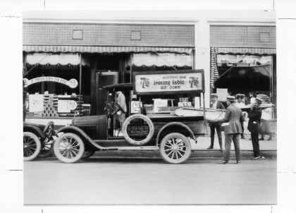
El Paso Electric Early Marketing Days
Sale of electric irons and ironing tables in 1940's for $7.65, ...
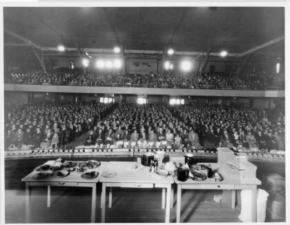
El Paso Electric Sponsored Safeway Cooking Classes
El Paso Electric Company sponsored Safeway cooking classes on ...
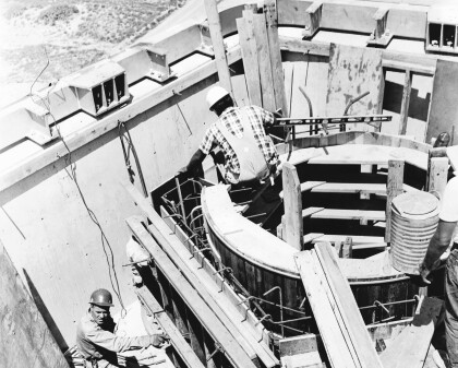
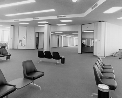
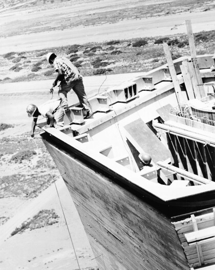
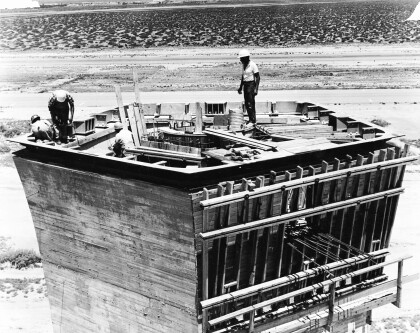
EPIA Control Tower Under Construction
In 1968, El Paso International Airport opened the nation’s ...
Air Traffic Control Tower Under Construction c.1968
Air Traffic Control Tower Under Construction c.1968
Air Traffic Control Tower Under Construction c.1968
Air Traffic Control Tower Under Construction c.1968
El Paso Sheriff's Posse and the 2014 Walk-A-Mile Event
The El Paso Sheriff's Posse men support the Walk-A-Mile In her ...
EPMH Volunteer and Staff giving out balloons
Lisa and Esther giving out balloons for the opening of Digie

