Map and Street Guide of El Paso, Texas circa 1925
Mapa y guía callejera de El Paso Texas
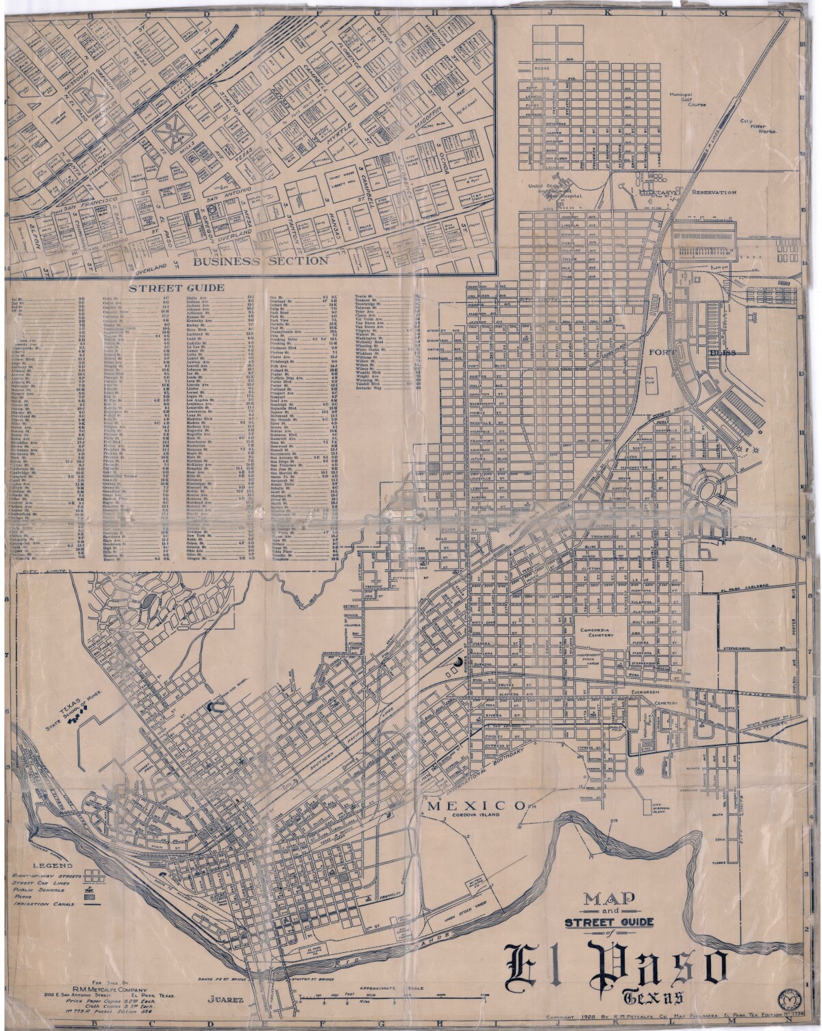
Map and Street Guide of El Paso, Texas circa 1925
Map and street guide of El Paso, Texas. The map includes right-of-way streets, street car lines, public schools, parks and irrigation canals. An inset of the city's business section is shown above the street guide. Highlighted are the Texas State School of Mines; the Santa Fe St. and Stanton St. bridges into Juarez, Mexico; Cordova Island, Mexico; and the area of Ft. Bliss Military Reservation.
Report this entry
More from the same community-collection
El Paso Atheists at the Gay Pride Parade
El Paso Atheists marched to show support for LGBTQ El Pasoans in ...
Tom Lea and El Paso Public Library
Light and shadows fall over the Tom Lea mural, "Southwest," in ...
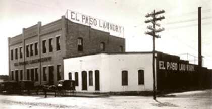
El Paso Luandry Santa Fe ST. 1947
El Paso Laundry, 901 Santa Fe ST. Est. 1891, Photo taken 1947 ...
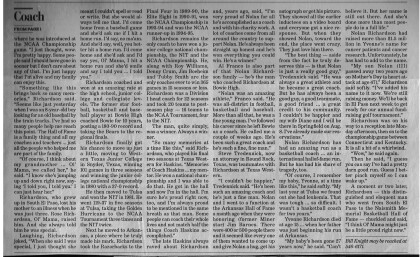
Nolan Richard Honor - 2014 - El Paso, Texas
Nolan Richardson Honored in Basket Ball Hall of Fame. Coach ...
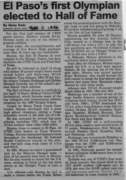
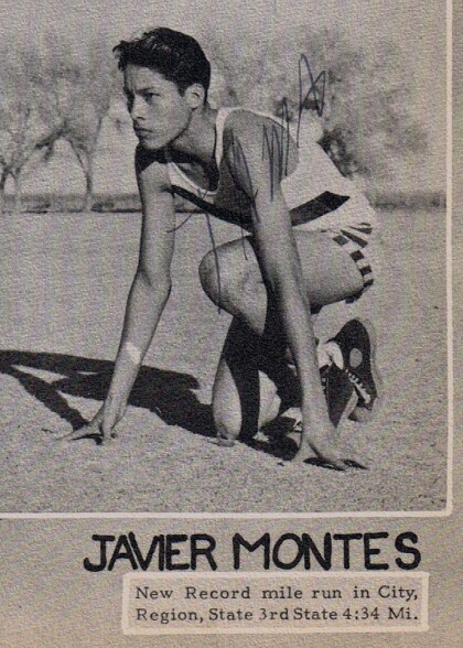
Javier Montes - Bowie High School - El Paso, Texas
Javier Montes, Bowie Track Yearbook . He was UTEP's first ...
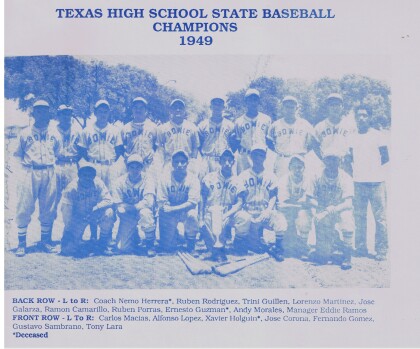
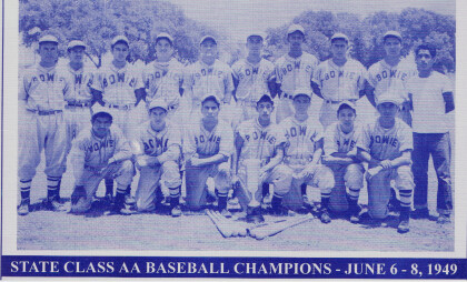
1949 Bowie High School state baseball champions
Members of the 1949 Bowie High School state baseball champions, ...
1949 Bowie High School State Baseball Champions
Members of the 1949 Bowie High School state baseball champions, ...
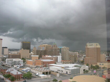
Storm above downtown El Paso August 2006
Photo of a storm system above downtown El Paso during the flood ...
Storm above downtown El Paso August 2006
Storm clouds above downtown El Paso August 2006. Storm systems ...
El Paso Sheriff's Posse Stagecoach Sun Carnival Parade 2013
The El Paso Sheriff's Posse has supported the Sun Carnival ...

