Map and Street Guide of El Paso, Texas circa 1925
Mapa y guía callejera de El Paso Texas
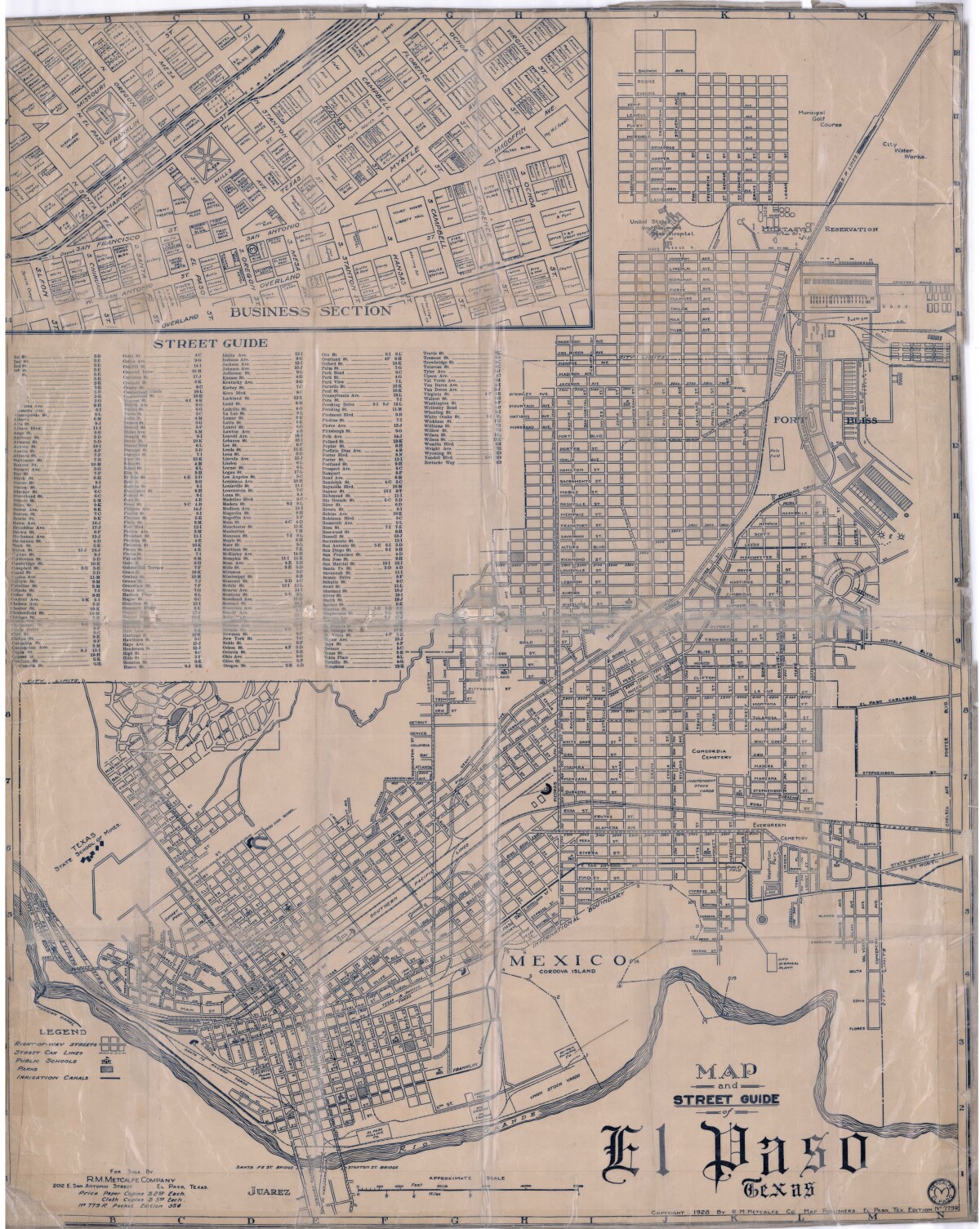
Map and Street Guide of El Paso, Texas circa 1925
Map and street guide of El Paso, Texas. The map includes right-of-way streets, street car lines, public schools, parks and irrigation canals. An inset of the city's business section is shown above the street guide. Highlighted are the Texas State School of Mines; the Santa Fe St. and Stanton St. bridges into Juarez, Mexico; Cordova Island, Mexico; and the area of Ft. Bliss Military Reservation.
Report this entry
More from the same community-collection
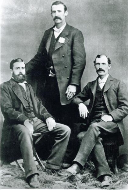
El Paso, Texas City Marshal Dallas Stoudenmire - 1881
El Paso City Marshall Dallas Stoudenmire with his deputy ...
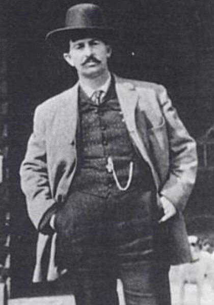
El Paso Police officer Howell Cobb - 1904
Witness for the Defense: On the afternoon of January 15, 1904, ...
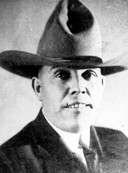
El Paso Police officer Tom Threepersons - 1921
On March 9, 1921, the El Paso Herald reported, "One Man is ...
El Paso Police Command Staff - 1975
Chief of Police Robert Minnie with staff in front of Liberty ...
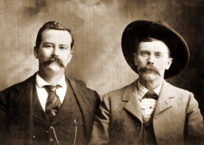
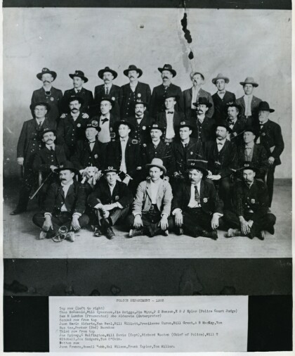
El Paso Police Department - 1903
Top Row Left to Right: Chas McDonald, Will Rynerson, Jim Briggs, ...
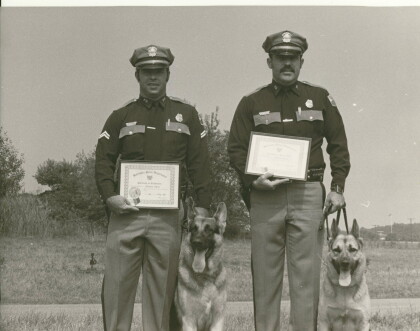
El Paso Police K-9 handlers - 1975
El Paso Police officers Richard Edens and Marcos Payan were the ...
Tug of War in the Rio Grande - February 16, 1977
El Paso Police officer Tim Davidson managing to outwit the ...
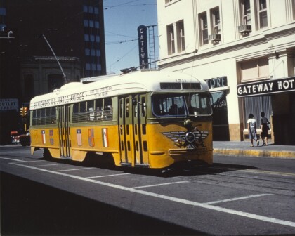
Trolley in front of Gateway Hotel, 1960s
The image probably dates from the 1960s. It shows a trolley in ...
