Map and Street Guide of El Paso, Texas circa 1925
Mapa y guía callejera de El Paso Texas
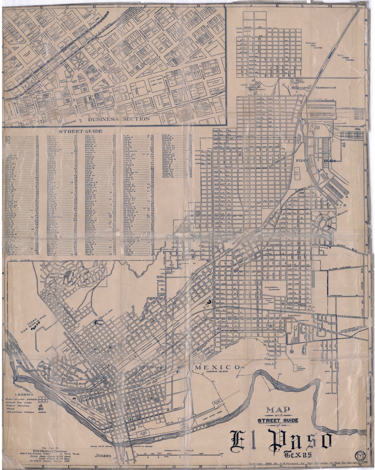
Map and Street Guide of El Paso, Texas circa 1925
Map and street guide of El Paso, Texas. The map includes right-of-way streets, street car lines, public schools, parks and irrigation canals. An inset of the city's business section is shown above the street guide. Highlighted are the Texas State School of Mines; the Santa Fe St. and Stanton St. bridges into Juarez, Mexico; Cordova Island, Mexico; and the area of Ft. Bliss Military Reservation.
Report this entry
More from the same community-collection
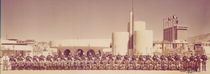
El Paso, Texas Police Motorcycle Officers - 1975
Left to right: Captain Ron Edwards, Sgt. Frank Rago, Al Campos, ...
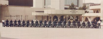
El Paso Police motorcycle officers - 1984
From the Left: Captain Tony Garganta, Severo Jimenez, Sgt. Dan ...
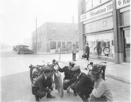
El Paso Police motorcycle officers - 1918
Capt. Joe Stowe and another officer inspecting new police ...
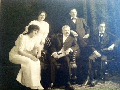
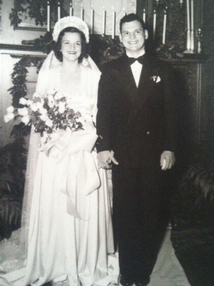
Ruth Schwartz Wedding Party - El Paso, Texas
Ruth Schwartz , daughter of Fannie & Adolph Schwartz ( Founder ...
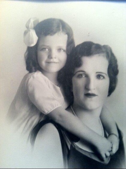
Ruth Schwartz Zork with Daughter Marian Eleanor Zork
Ruth Schwartz Zork , daughter of Adolph Schwartz with daughter ...
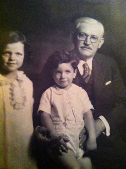
Adolph Schwartz founder of Popular Dry Good Co
Adolph Schwartz with his grandchildren Marian Eleanor Zork ( ...
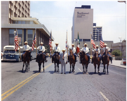
El Paso Police Mounted Officers - 1974
left to right: Richards Edens, Karl Beasley, Al Kasten, Jim ...
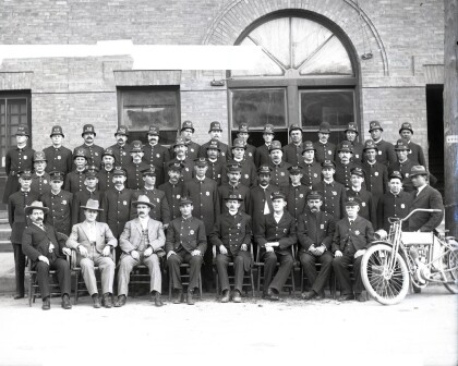
El Paso Police Department - 1901 - El Paso, Texas
The El Paso City Police Department - 1901. A few short years ...
Krakauer,Zork and Moye, El Paso, Texas
Krakauer, Zork & Moye 117 San Francisco St. 1910( second ...
