Map and Street Guide of El Paso, Texas circa 1925
Mapa y guía callejera de El Paso Texas
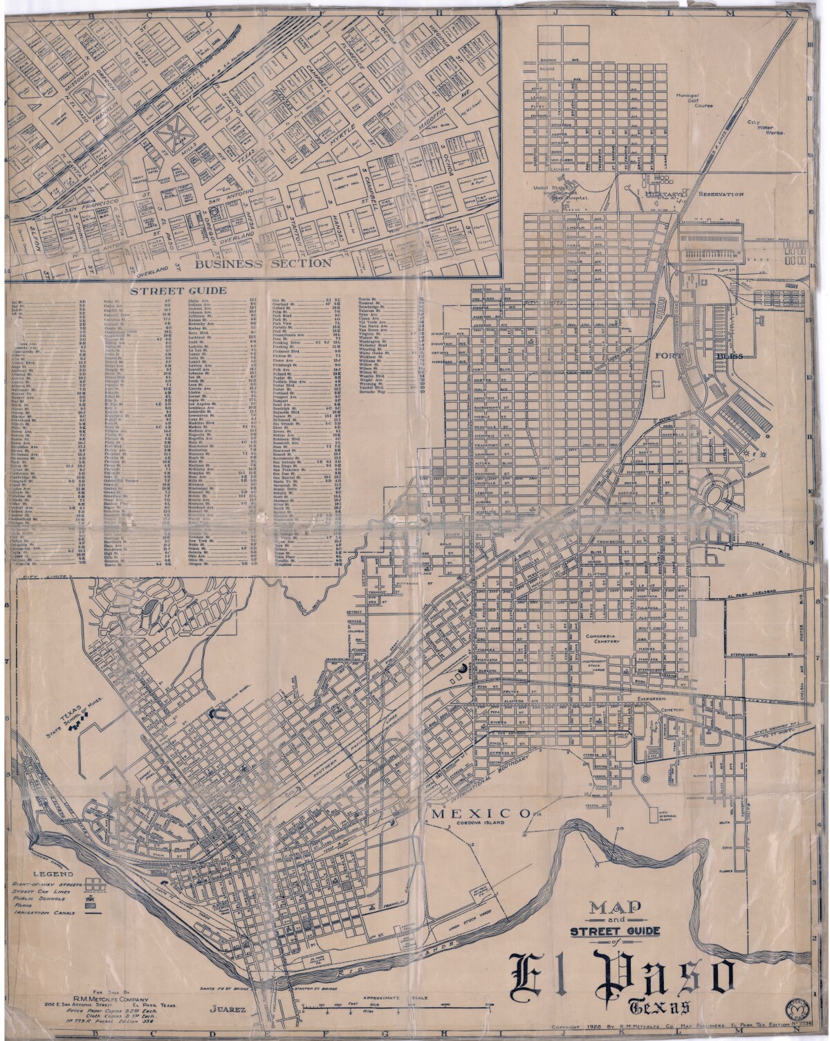
Map and Street Guide of El Paso, Texas circa 1925

Map and street guide of El Paso, Texas. The map includes right-of-way streets, street car lines, public schools, parks and irrigation canals. An inset of the city's business section is shown above the street guide. Highlighted are the Texas State School of Mines; the Santa Fe St. and Stanton St. bridges into Juarez, Mexico; Cordova Island, Mexico; and the area of Ft. Bliss Military Reservation.

Area: Central / Downtown

Source: R.M. Metcalfe Co.

Uploaded by: Border Heritage Center

Comments

Add a comment
Thank you for your comment

Report this entry

Choose the most important reason for this report

Your name

Your email address

Optional detail

Thank you for your report

More from the same community-collection

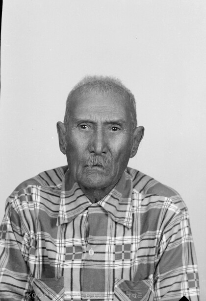
Passport Photograph

The image was taken by the Casaola Photograph Studio. It is a ...

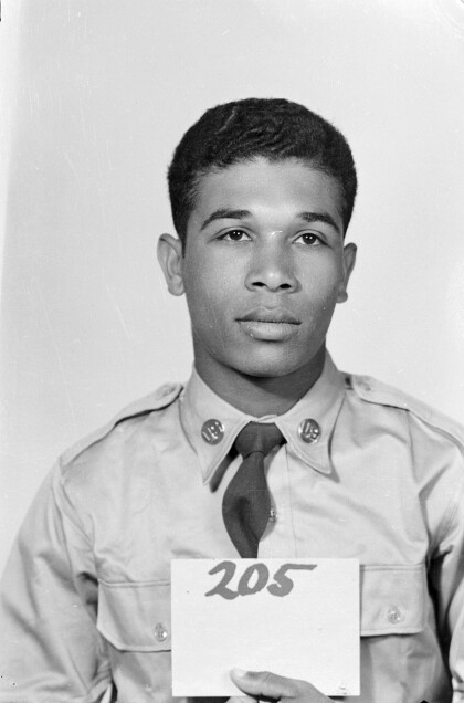
Passport Photograph

The image was taken by the Casaola Photograph Studio. It is a ...

Passport Photograph

The image was taken by the Casaola Photograph Studio. It is a ...

Passport Photograph

The image was taken by the Casaola Photograph Studio. It is a ...

Passport Photograph

The image was taken by the Casaola Photograph Studio. It is a ...

Passport Photograph

The image was taken by the Casaola Photograph Studio. It is a ...

Passport Photograph

The image was taken by the Casaola Photograph Studio. It is a ...

Tom Lea's mural: Pass of the North, 1938

Tom Lea's 1938 "Pass of the North" mural measures 11 x 54 feet ...
DIGIE

DIGIE--November 18, 2014.

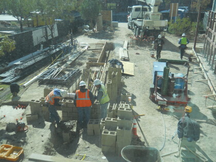
DIGIE

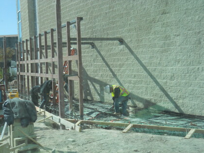
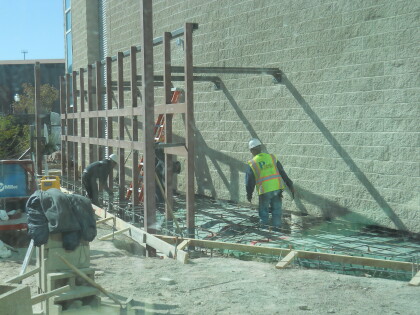
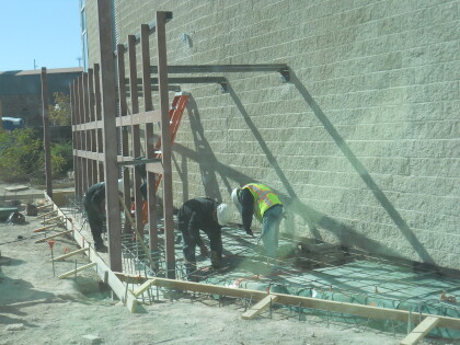
DIGIE - November 18, 2014 - Construction in front of the El Paso ...

DIGIE

Construction on the digital wall in front of El Paso Museum of ...

DIGIE

DIGIE - November 18, 2014-contruction on the digital wall.

DIGIE

DIGIE - November 18, 2014-contruction on the digital wall.

DIGIE

DIGIE - November 18, 2014-contruction on the digital wall.

DIGIE

DIGIE - November 18, 2014-contruction on the digital wall.

DIGIE

DIGIE - November 18, 2014-contruction on the digital wall.

Downtown, El Paso TX

A view of downtown El Paso from Rim Rd.

Baseball Team 1886

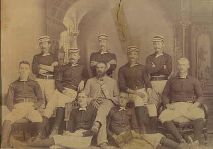
The image shows the El Paso Browns, the 1886 baseball champs. ...

Operation Hold the Line 1993

The image shows the U.S. Border Patrol and protesters during ...

Operation Hold the Line 1993

The image shows the U.S. Border Patrol and protesters during ...

Operation Hold the Line 1993

The image shows the U.S. Border Patrol during Operation Hold the ...

Operation Hold the Line 1993

The image shows the U.S. Border Patrol and protesters during ...

Operation Hold the Line 1993

The image shows the U.S. Border Patrol during the first weeks of ...

home.search_collection