Map and Street Guide of El Paso, Texas circa 1925
Mapa y guía callejera de El Paso Texas
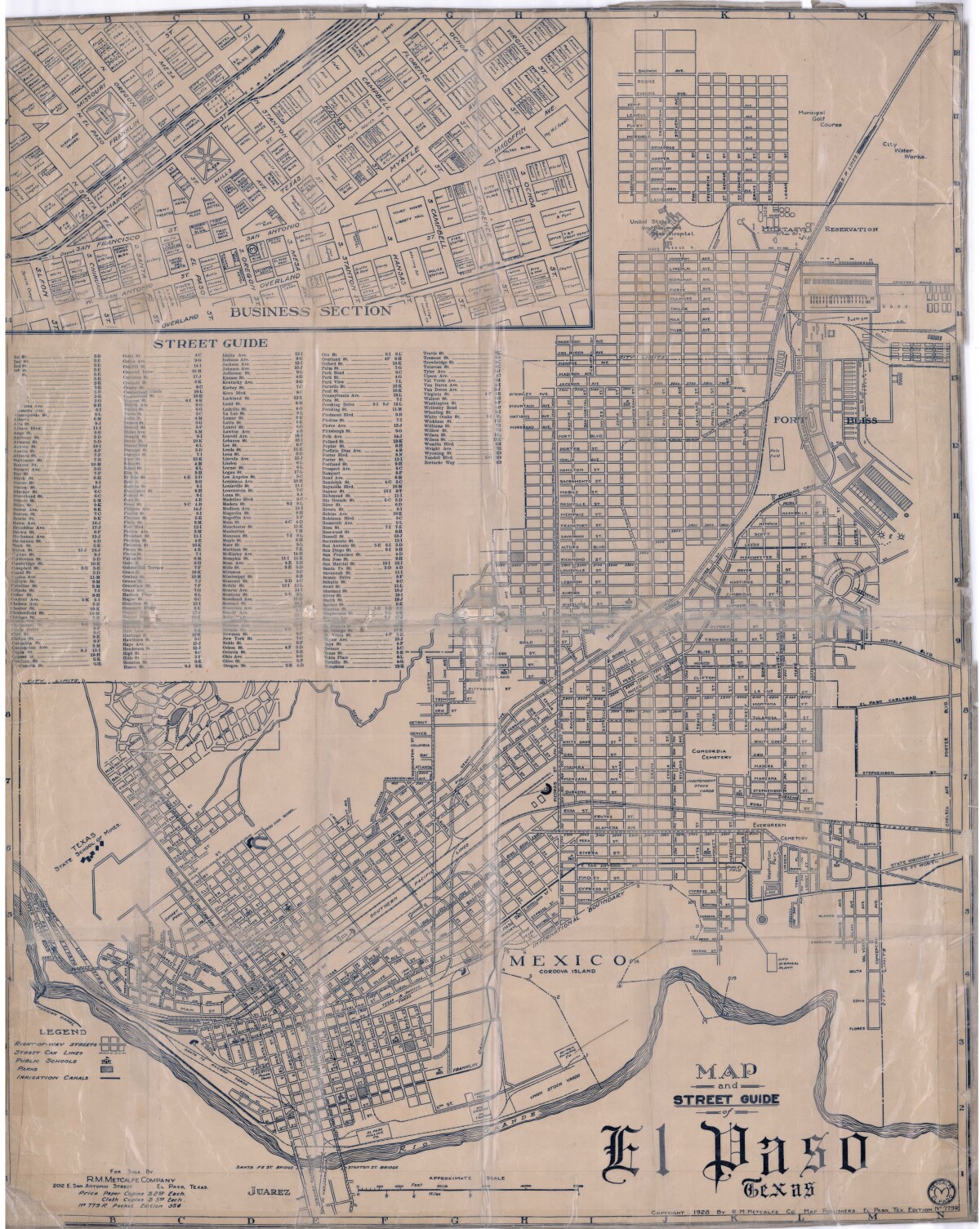
Map and Street Guide of El Paso, Texas circa 1925
Map and street guide of El Paso, Texas. The map includes right-of-way streets, street car lines, public schools, parks and irrigation canals. An inset of the city's business section is shown above the street guide. Highlighted are the Texas State School of Mines; the Santa Fe St. and Stanton St. bridges into Juarez, Mexico; Cordova Island, Mexico; and the area of Ft. Bliss Military Reservation.
Report this entry
More from the same community-collection
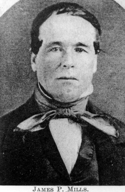
James P. Mills, father of Anson Mills
James P. Mills was born in 1808 in Pennsylvania. He became an ...
Ben Williams - El Paso Lawman - El Paso, Texas
Ben Williams operated the Ben Williams Detective Agency in El ...
Capt. John Hughes-Texas Ranger - El Paso, Texas
In 1886 several horses were stolen from his and neighboring ...
Maud Austion Crouse,El Paso Texas circa 1915
Maud Austion was the wife of Hugh Crouse, a doctor in El Paso, ...
Louise Austin - Mrs. James S. Marr
Wife of Col. James Marr, who was the founder of El Paso Transfer ...
Jose Antonio Escajeda - San Elizario, TX
José Antonio Escajeda was part of an early El Paso pioneer ...
Florence Vilas, Ada Lyons, Kate McGhee - El Paso, Texas
From left to right: Florence Vilas, Ada Lyons, and Kate McGee. ...
