Map and Street Guide of El Paso, Texas circa 1925
Mapa y guía callejera de El Paso Texas
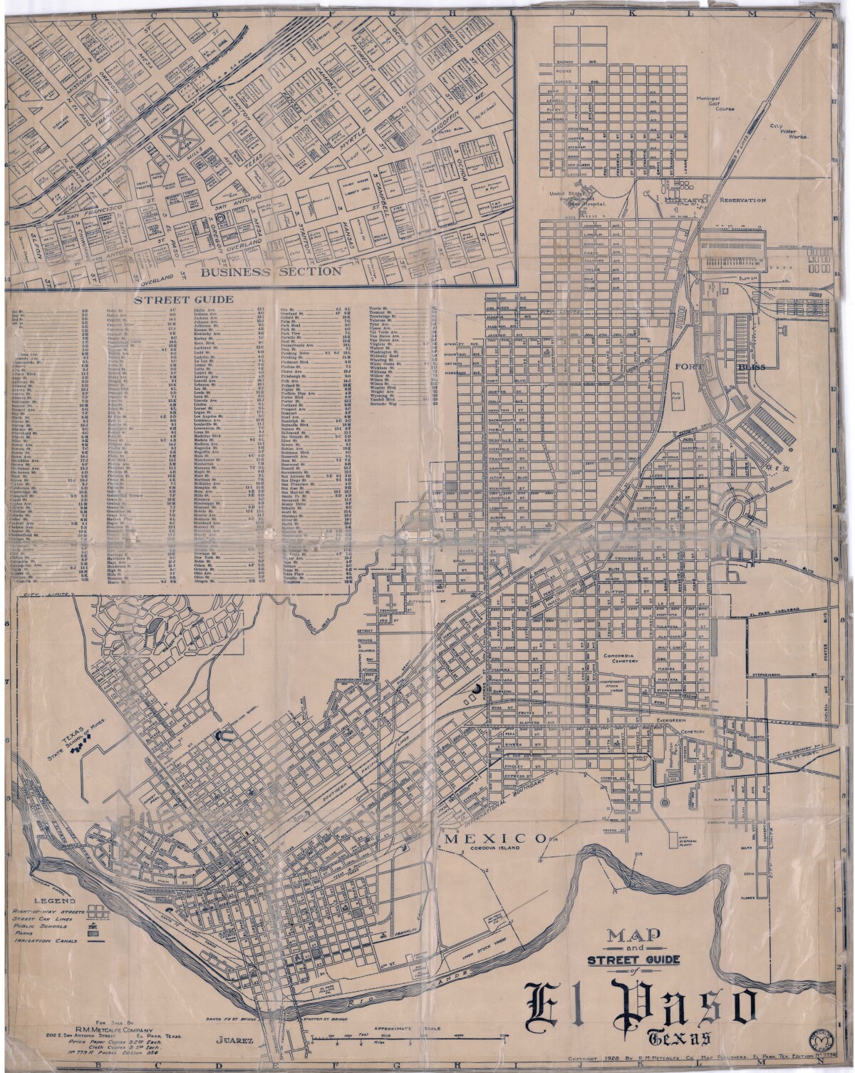
Map and Street Guide of El Paso, Texas circa 1925
Map and street guide of El Paso, Texas. The map includes right-of-way streets, street car lines, public schools, parks and irrigation canals. An inset of the city's business section is shown above the street guide. Highlighted are the Texas State School of Mines; the Santa Fe St. and Stanton St. bridges into Juarez, Mexico; Cordova Island, Mexico; and the area of Ft. Bliss Military Reservation.
Report this entry
More from the same community-collection
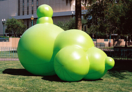
"Green Golly" at Chalk the Block 2009
This picture shows "Green Golly", a huge balloon by Sharon E. ...
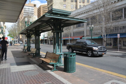
Bus Stop near the Cafe Central on Oregon
The Plaza Hotel, on the corner of Oregon and Mills, is to the ...
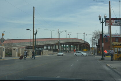
Paso del Norte Bridge in El Paso, Texas.
Paso del Norte Bridge, Border Highway intersects El Paso Street ...
DeSoto Hotel and El Paso's Boxing Wall of Fame
De Soto Hotel can be found on E Mills Avenue 309. They can be ...
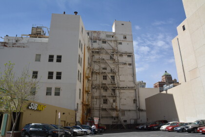
Subway Restaurant surrounded by buildings 105 N Stanton.
Subway Restaurant surrounded by apartment buildings on 105 N ...
