Map and Street Guide of El Paso, Texas circa 1925
Mapa y guía callejera de El Paso Texas
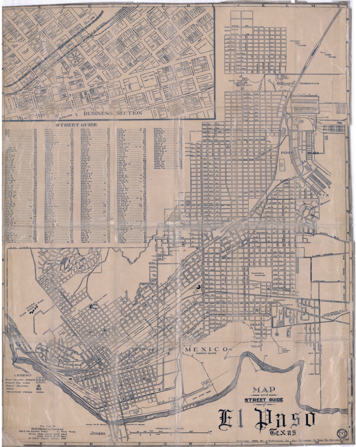
Map and Street Guide of El Paso, Texas circa 1925
Map and street guide of El Paso, Texas. The map includes right-of-way streets, street car lines, public schools, parks and irrigation canals. An inset of the city's business section is shown above the street guide. Highlighted are the Texas State School of Mines; the Santa Fe St. and Stanton St. bridges into Juarez, Mexico; Cordova Island, Mexico; and the area of Ft. Bliss Military Reservation.
Report this entry
More from the same community-collection
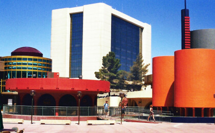
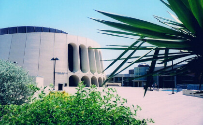
Civic Center, El Paso, Texas in 2002
The colorful cylinders in the picture were part of the civic ...
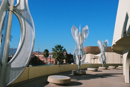
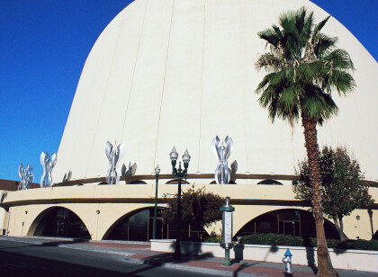
Light Fixtures Outside the Chavez Theater
This picture from 2008 shows the light fixtures which were ...
City Scape with Old City Hall - 2012
This photograph from 2012 shows parts of El Paso's city scape ...
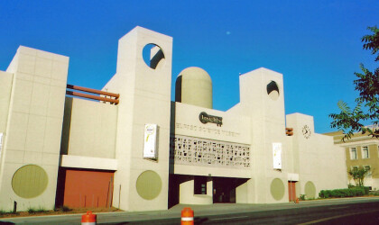
Chavez Theater in 2008 - El Paso, Texas
The image shows the Abraham Chavez Theater in 2008. It is ...
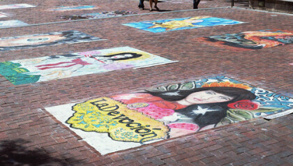
Chalk Works during Chalk the Block 2010
This picture shows several chalk works made during the Chalk the ...
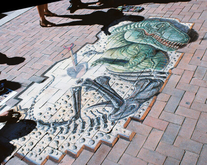
"Rex Awakes" during Chalk the Block
This chalk painting was called "Rex Awakes" and presented by Bob ...
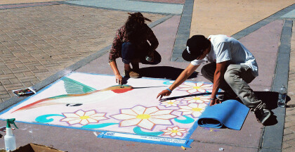
Artists during Chalk the Block 2011
Two artists are working on a picture made from chalk during the ...
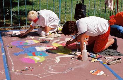
Painters durante Chalk the Block 2009
On this fotograph one can see painters during the Chalk the ...
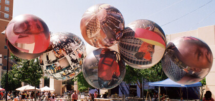
Large Ballons during Chalk the Block 2009
These large balloons have fotographs of different people and ...
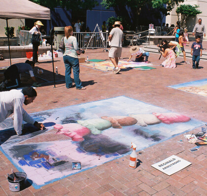
Ice Cream Scone during Chalk the Block 2009
This ice cream cone is being drawn by Reginald Armstrong during ...
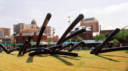
"Warmth, Giant Black Toobs" at Chalk the Block 2009
This balloon design called "Warmth, Giant Black Toobs" was ...
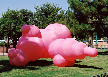
"Pink Tethertwin" at Chalk the Block 2009
This picture shows "Pink Thethertwin", a giant balloon sculpture ...
