Map and Street Guide of El Paso, Texas circa 1925
Mapa y guía callejera de El Paso Texas
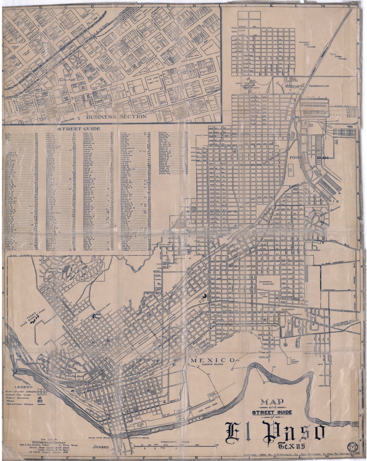
Map and Street Guide of El Paso, Texas circa 1925
Map and street guide of El Paso, Texas. The map includes right-of-way streets, street car lines, public schools, parks and irrigation canals. An inset of the city's business section is shown above the street guide. Highlighted are the Texas State School of Mines; the Santa Fe St. and Stanton St. bridges into Juarez, Mexico; Cordova Island, Mexico; and the area of Ft. Bliss Military Reservation.
Report this entry
More from the same community-collection
"Seasons of the Sun" - El Paso, Texas
This sculpture is made by the El Pasoan muralist Carlos Callejo ...
Mural "Our History" in County Courthouse
The image shows part of the mural in the atrium of the County ...
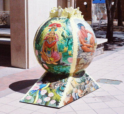
"Shining Desert Suns: Giver and Taker of Life" - El Paso, Texas
The ball by Susan Klahr is titled "Shining Desert Suns: Giver ...
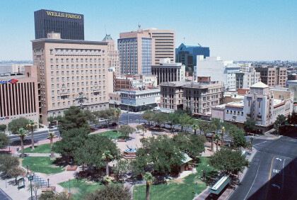
Recreation Area in Front of Main Library
The picture shows the recreation area in front of the Public ...
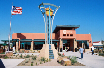
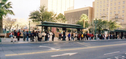
The Bert Williams Downtown Santa Fe Transfer Center
This new bus terminal is called The Bert Williams Downtown Santa ...
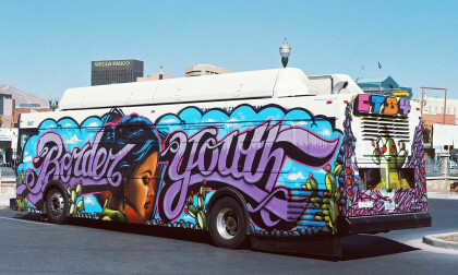
Border Youth Bus by Grave Herrera, Jeri Navarro and Dekan Ortega
This bus was decorated for the Chalk the Block festival in 2011. ...
