Map and Street Guide of El Paso, Texas circa 1925
Mapa y guía callejera de El Paso Texas
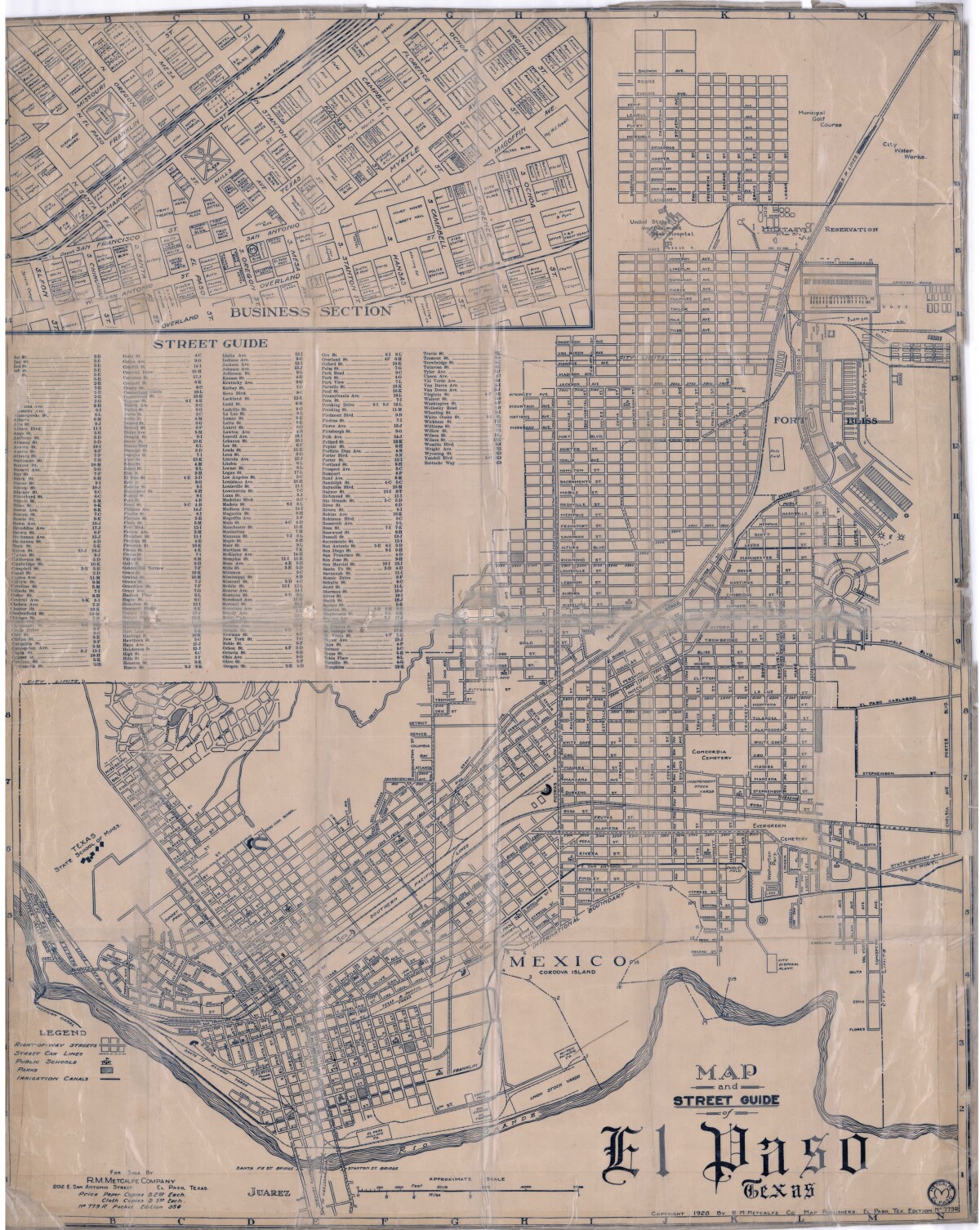
Map and Street Guide of El Paso, Texas circa 1925
Map and street guide of El Paso, Texas. The map includes right-of-way streets, street car lines, public schools, parks and irrigation canals. An inset of the city's business section is shown above the street guide. Highlighted are the Texas State School of Mines; the Santa Fe St. and Stanton St. bridges into Juarez, Mexico; Cordova Island, Mexico; and the area of Ft. Bliss Military Reservation.
Report this entry
More from the same community-collection
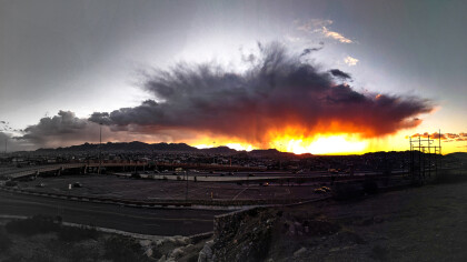
Photography by Daniel Valencia
There is nothing more pleasing and rewarding than witnessing the ...
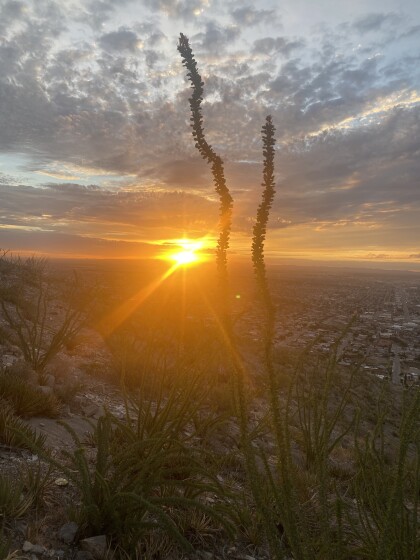
Photography by Denise Cecilia Martinez
There is nothing more pleasing and rewarding than witnessing the ...
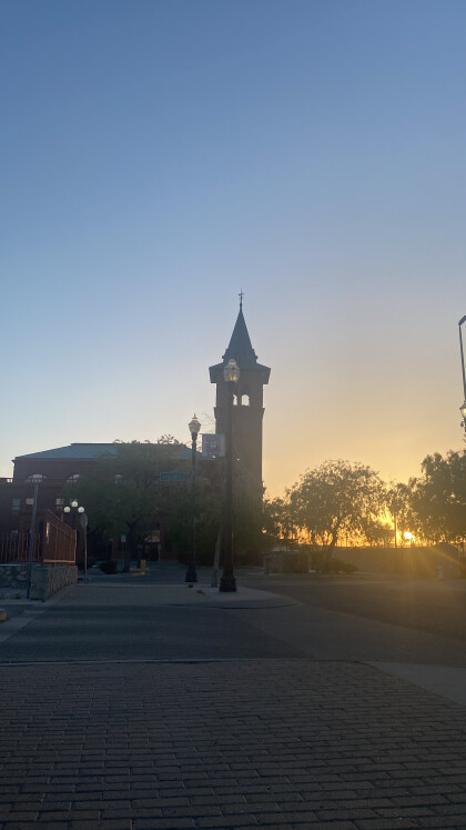
Photography by Denise Cecilia Martinez
There is nothing more pleasing and rewarding than witnessing the ...
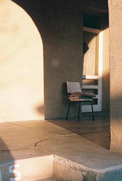
Photography by Diana Selene Jurado Vargas (Selene Jurado)
There is nothing more pleasing and rewarding than witnessing the ...
Photography by Diana Selene Jurado Vargas (Selene Jurado)
There is nothing more pleasing and rewarding than witnessing the ...
Photography by Edgar Ricardo Padilla Nates
There is nothing more pleasing and rewarding than witnessing the ...
Photography by Edgar Ricardo Padilla Nates
There is nothing more pleasing and rewarding than witnessing the ...
Photography by Eduardo Suarez Lopez
There is nothing more pleasing and rewarding than witnessing the ...
Photography by Eduardo Suarez Lopez
There is nothing more pleasing and rewarding than witnessing the ...
Photography by Federico Villalba
There is nothing more pleasing and rewarding than witnessing the ...


