Map and Street Guide of El Paso, Texas circa 1925
Mapa y guía callejera de El Paso Texas
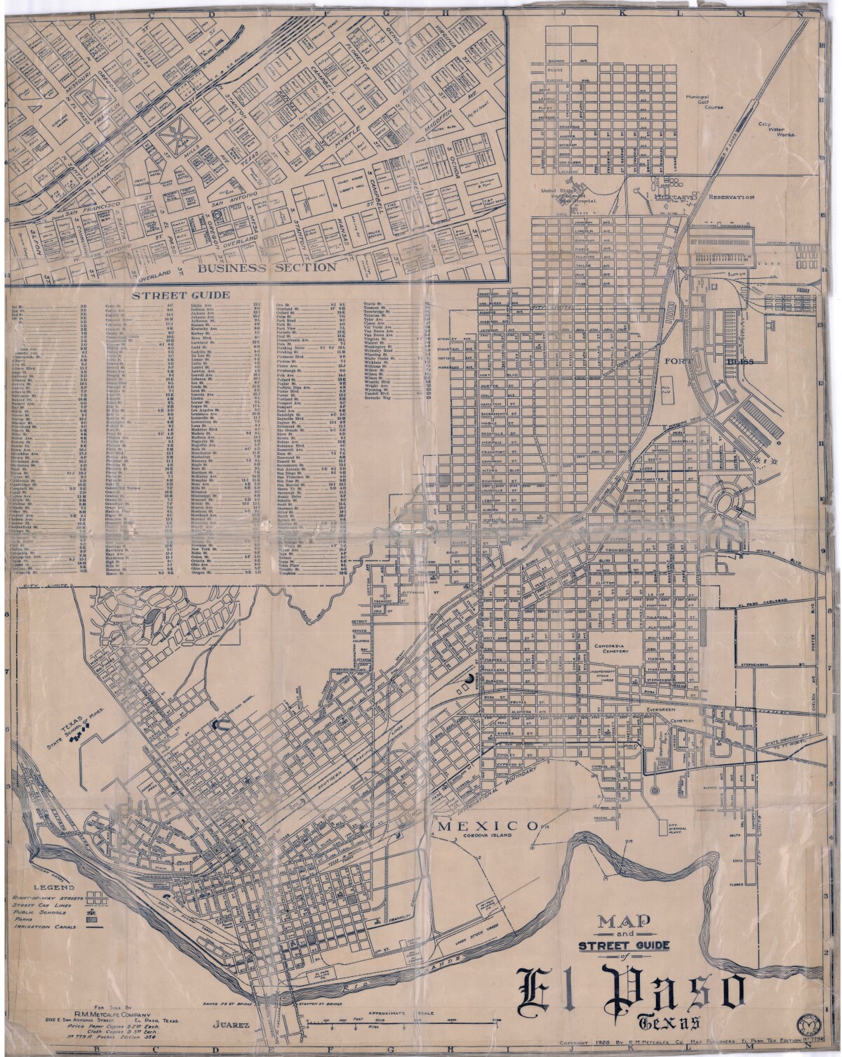
Map and Street Guide of El Paso, Texas circa 1925
Map and street guide of El Paso, Texas. The map includes right-of-way streets, street car lines, public schools, parks and irrigation canals. An inset of the city's business section is shown above the street guide. Highlighted are the Texas State School of Mines; the Santa Fe St. and Stanton St. bridges into Juarez, Mexico; Cordova Island, Mexico; and the area of Ft. Bliss Military Reservation.
Report this entry
More from the same community-collection
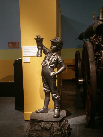
Boy with the Boot Statue El Paso, Texas
The Boy was first placed in the park next to old City Hall in ...
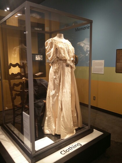
Men's and Women's Wedding Clothing El Paso, Texas
Man’s Wedding Coat, 1853 Worn by Prof. C.C. Huffaker at his ...
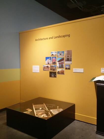
Architecture and Landscaping El Paso, Texas
Both the Spanish and the Native American peoples of Meso America ...
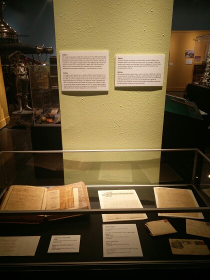
Letters and Bibles El Paso, Texas
The surge of population headed to California for the 1849 Gold ...
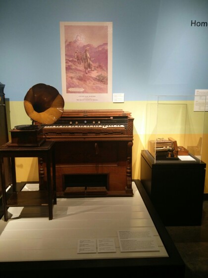
Mason and Hamlin Organ and Edison Phonograph
Mason & Hamlin Organ, ca. 1870. Edison Phonograph, 1915-1919. ...
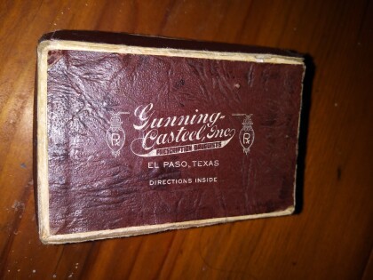
Gunning Casteel, Inc. El Paso, Texas
Gunning Casteel was a pharmacy in downtown El Paso, Texas circa ...
Gunning Casteel, inc. Prescription Drugs El Paso, Texas
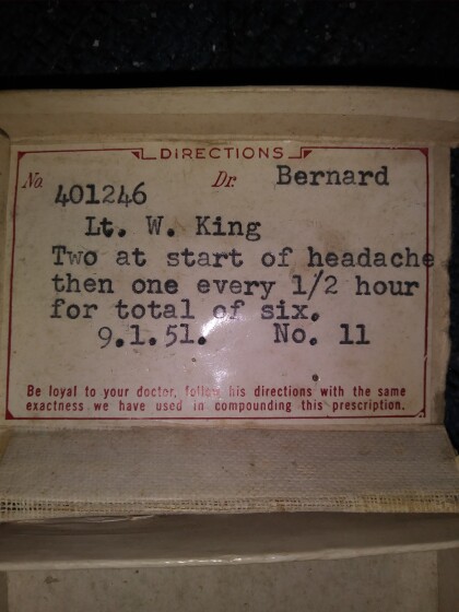
Headache prescription filled by Gunning Casteel pharmacy in El ...
Original Adobe Used For The Home El Paso, Texas
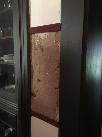
Image shows small sample of original adobe used in historic ...
1971 Roxana Angulo - El Paso, Texas
1971 Roxana Angulo, born to Rosemary Gereda and Jorge I. Angulo, ...
