Map and Street Guide of El Paso, Texas circa 1925
Mapa y guía callejera de El Paso Texas
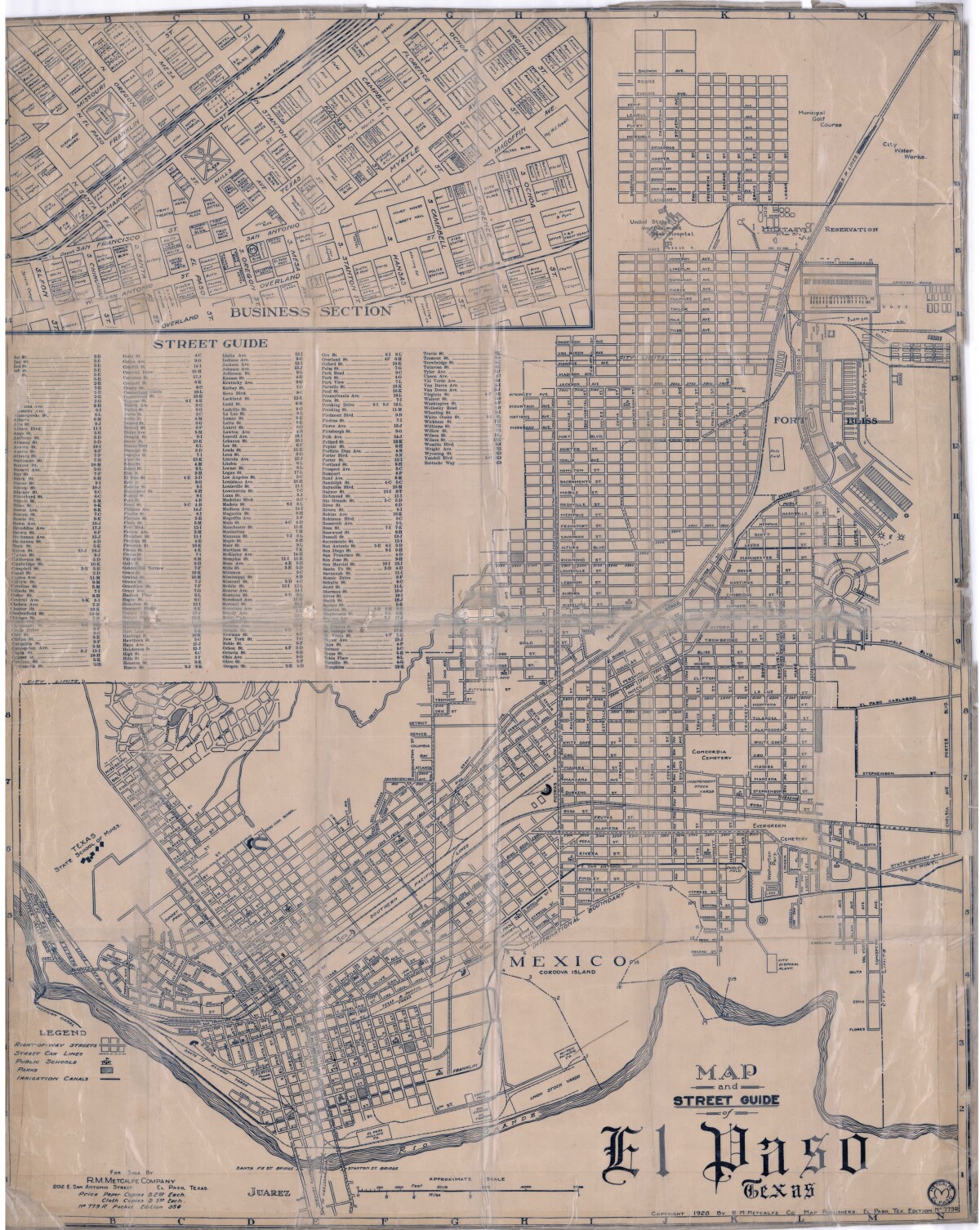
Map and Street Guide of El Paso, Texas circa 1925
Map and street guide of El Paso, Texas. The map includes right-of-way streets, street car lines, public schools, parks and irrigation canals. An inset of the city's business section is shown above the street guide. Highlighted are the Texas State School of Mines; the Santa Fe St. and Stanton St. bridges into Juarez, Mexico; Cordova Island, Mexico; and the area of Ft. Bliss Military Reservation.
Report this entry
More from the same community-collection
Seventh Wall of Giants - El Paso, Texas
Early members of the Women's Club in El Paso Texas were ...
Woman's Club Timeline - El Paso, Texas
This timeline was used in an exhibit at Museum of History in ...
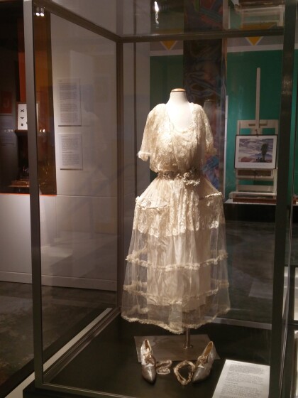
Acelia Alderete Armijo Bridal Gown - El Paso, Texas
Wedding dresses are special, well cared for garments. Because ...
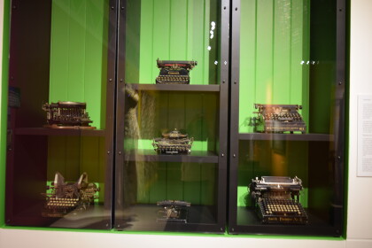
Typewriters Exhibit - El Paso, Texas
The modern manual typewriter was the creation of many inventors ...
A to Z Exhibit - El Paso, Texas
Mass transportation in 1882 came in the form of mule cars, which ...
Fray Garcia Monument - John Sherrill Houser - El Paso, Texas
Fray Garcia Monument - John Sherrill Houser - El Paso, Texas - ...
Fray Garcia De San Francisco - El Paso, Texas
Fray Garcia De San Francisco - El Paso, Texas - Artist places ...
Fray Garcia De San Francisco - El Paso, Texas
Fray Garcia De San Francisco - El Paso, Texas - " The Mission ...
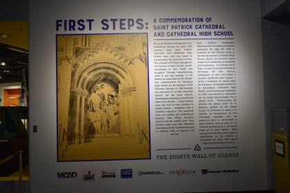
First Steps Eight Wall of Giants - El Paso, Texas
El Paso’s Eighth Wall of Giants First Steps: A Commemoration ...


