Map and Street Guide of El Paso, Texas circa 1925
Mapa y guía callejera de El Paso Texas
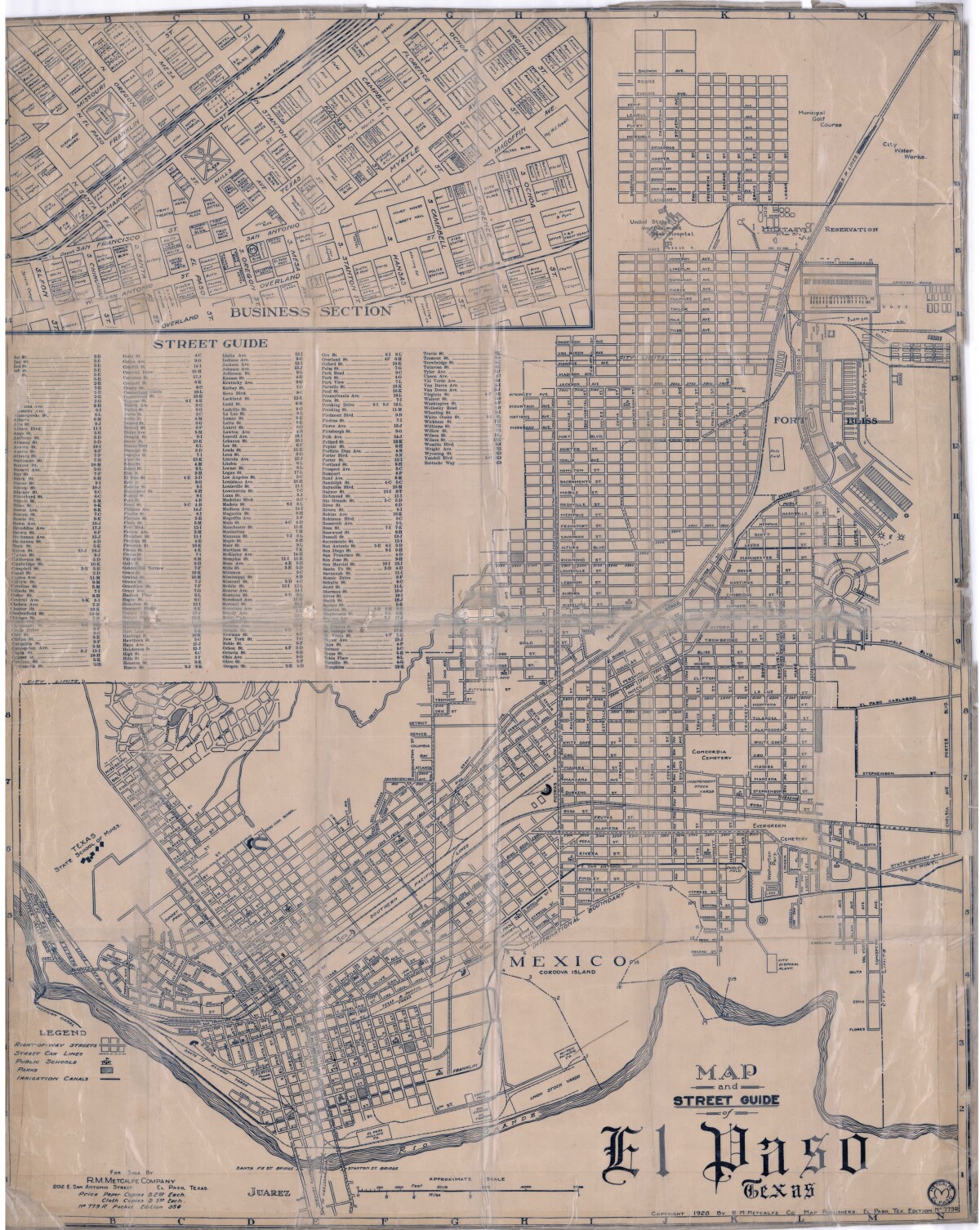
Map and Street Guide of El Paso, Texas circa 1925
Map and street guide of El Paso, Texas. The map includes right-of-way streets, street car lines, public schools, parks and irrigation canals. An inset of the city's business section is shown above the street guide. Highlighted are the Texas State School of Mines; the Santa Fe St. and Stanton St. bridges into Juarez, Mexico; Cordova Island, Mexico; and the area of Ft. Bliss Military Reservation.
Report this entry
More from the same community-collection
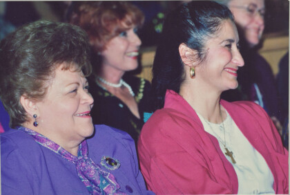
Lucy Acosta, Ingeborg Heuser, Phyllis Armijo - 1991
Lucy Acosta, Ingeborg Heuser, Phyllis Armijo who was active in ...
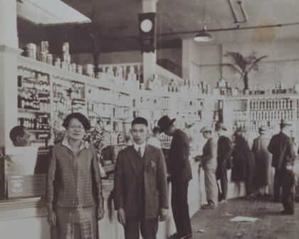
Herlinda Wong Chew - New China Grocery - 1935
Herlinda Wong Chew - New China Grocery - located on Overland ...
Sylvia Gomez - TV Journalist - circa 1990
Sylvia Gomez - TV Journalist - circa 1990 - in El Paso, Texas
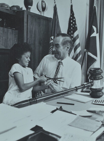
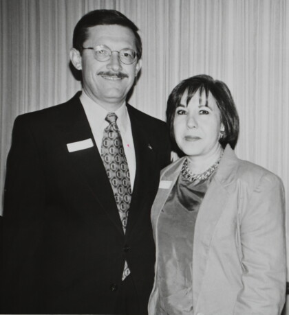
Mayor Carlos Ramirez, Kenna Ramirez
Mayor Carlos Ramirez and wife Kenna Ramirez at event in El Paso, ...
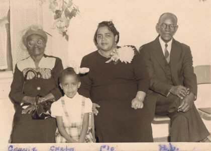
Family picture at church - El Paso, Texas - 1940's
Picture taken at Myrtle Avenue Methodist Church. Names are on ...
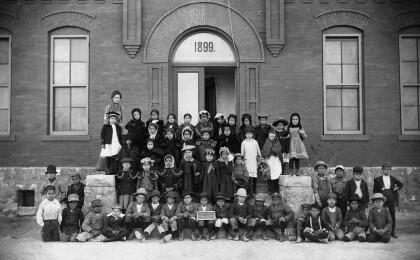
Aoy School Class Picture - 1890 - El Paso, Texas
Photo from the El Paso Independent School District archives ...
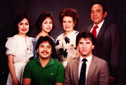
Sanchez Family - 1985 - El Paso, Texas
Sanchez Family - 1985 - one of prominent families of El Paso, ...
Fourth Of July Cityscape - DIGIE-2017 - Video
Short video of the Fourth of July cityscape for the digital ...
Paul L. Foster School of Medicine - 2017
Paul L. Foster School of Medicine - 2017 - people gather outside ...
Paul L. Foster School of Medicine - 2017
Paul L. Foster School of Medicine - 2017 - people gather outside ...
Paul L. Foster School of Medicine Commencement - 2017
Paul L. Foster School of Medicine Commencement - 2017
Paul L. Foster School of Medicine Commencement - 2017
Paul L. Foster School of Medicine Commencement - 2017
