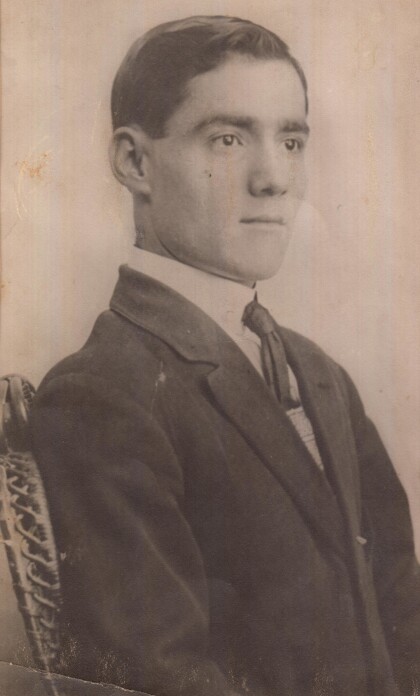
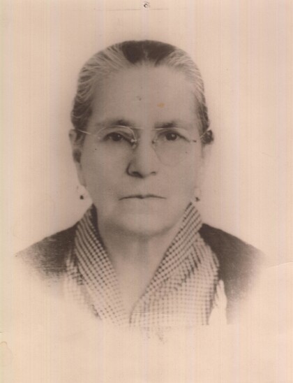
Map and Street Guide of El Paso, Texas circa 1925
Mapa y guía callejera de El Paso Texas
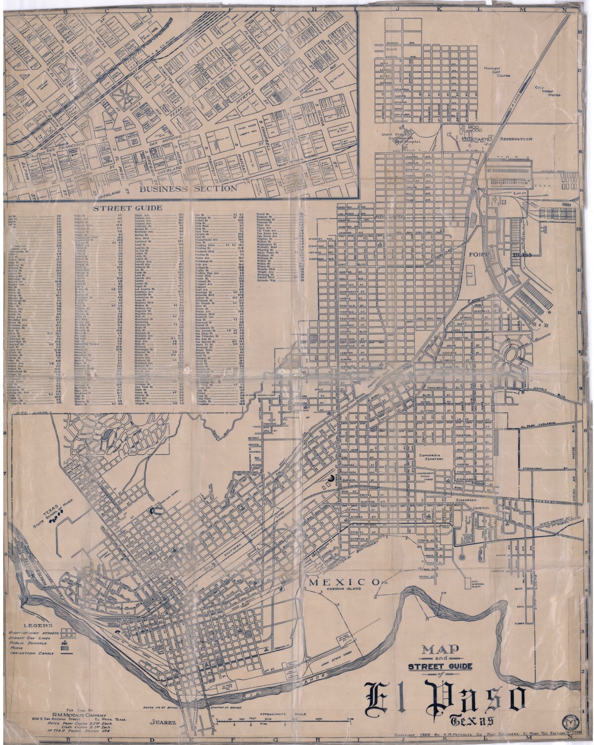
Map and Street Guide of El Paso, Texas circa 1925
Map and street guide of El Paso, Texas. The map includes right-of-way streets, street car lines, public schools, parks and irrigation canals. An inset of the city's business section is shown above the street guide. Highlighted are the Texas State School of Mines; the Santa Fe St. and Stanton St. bridges into Juarez, Mexico; Cordova Island, Mexico; and the area of Ft. Bliss Military Reservation.
Report this entry
More from the same community-collection
Cold Pressed Juice & Yogurt Parfait
Our Detox II cold pressed juice is full of healthy benefits!. It ...
Spinach Wrap + Manhattan Smoothie
This is our famous Spinach Wrap, very healthy and delicious. You ...
Cactus - Downtown El Paso, Texas - 2017
Check out what started blooming here in Union Plaza! Not to ...
Cactus - Downtown El Paso, Texas - 2017
Check out what started blooming here in Union Plaza! Not to ...
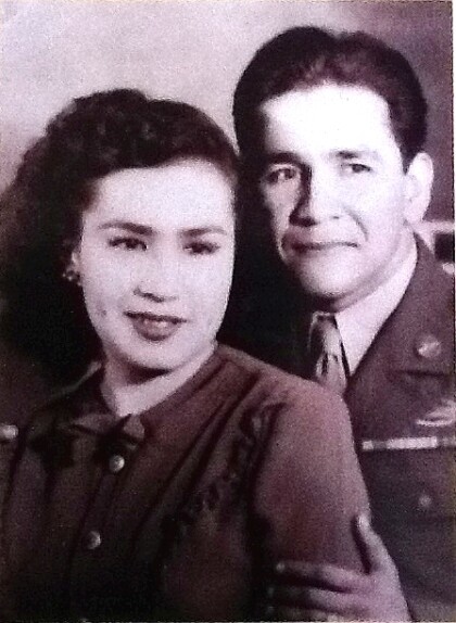
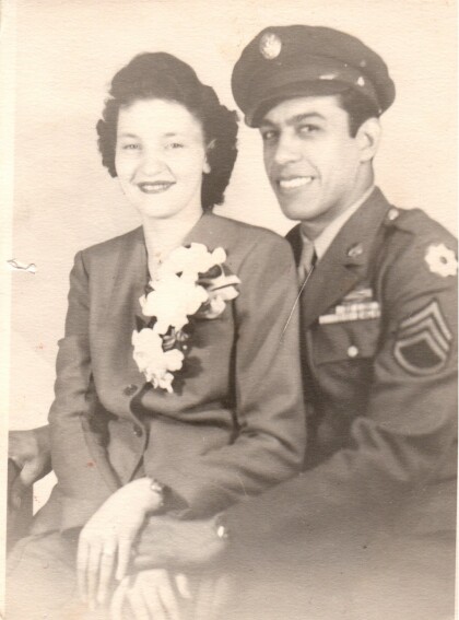
Alex Carrillo and Lucy Carrillo- 1940 -1949
El Paso, Texas - Alex Carrillo and Lucy Carrillo during the war ...
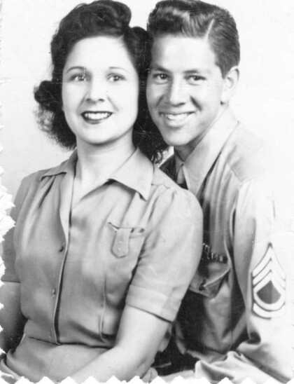
Jesus and Andrea Medina - 1940 - 1949
Jesus and Andrea Medina during the war years. Jesus Medina was a ...
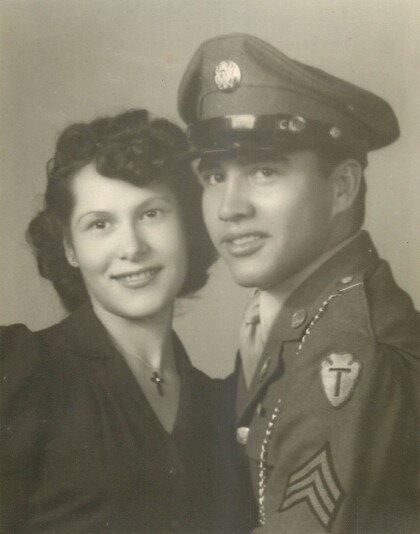
Sixto Frausto and Hortencia Frausto - 1942
"Sixto Frausto was known as "El Torro" to the men of Company E. ...
Chris Appelzoller and Alexander Appelzoller - 2016
Chris Appelzoller and Alexander Appelzoller - 2016 - El Paso, ...
Antonio Alvarado Sr. - 1900 - 1910 - El Paso, Texas
Tony Alvarado's father when he was about twenty years old. His ...
Emelia Barron - 1940 - El Paso, Texas
Emelia Barron - wife of Antonio Alvarado Sr. and mother of Tony ...
