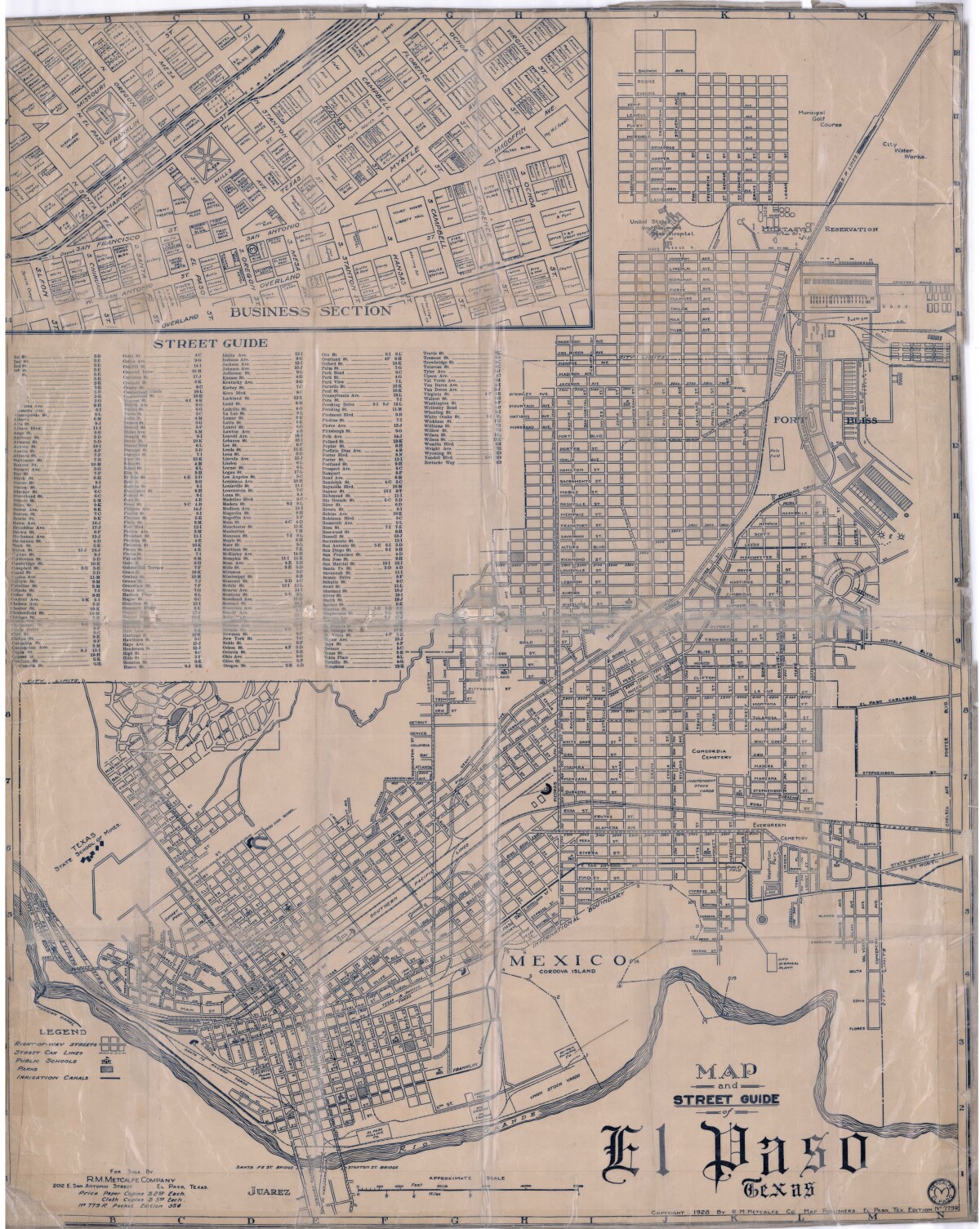
Map and Street Guide of El Paso, Texas circa 1925
Mapa y guía callejera de El Paso Texas

Map and Street Guide of El Paso, Texas circa 1925
Map and street guide of El Paso, Texas. The map includes right-of-way streets, street car lines, public schools, parks and irrigation canals. An inset of the city's business section is shown above the street guide. Highlighted are the Texas State School of Mines; the Santa Fe St. and Stanton St. bridges into Juarez, Mexico; Cordova Island, Mexico; and the area of Ft. Bliss Military Reservation.
Report this entry
More from the same community-collection
Welcome Home El Paso Vietnam Veterans - 2016
Albert Hernandez and wife Alicia at Vietnam Veterans Event in El ...
HM2 Hernandez, Albert A. - Vietnam Veteran - 2016
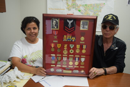
Albert A. Hernandez shows his medals during his service in ...
Union Pacific Railroad Foundation - 2016
Union Pacific Railroad Foundation donates $5,000.00 dollars ...
1st Stryker Brigade Combat Team, 1st Armored Division -- 2016
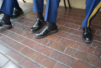
Photograph - Soldiers showing their spurs in front of the Camino ...


