Map and Street Guide of El Paso, Texas circa 1925
Mapa y guía callejera de El Paso Texas
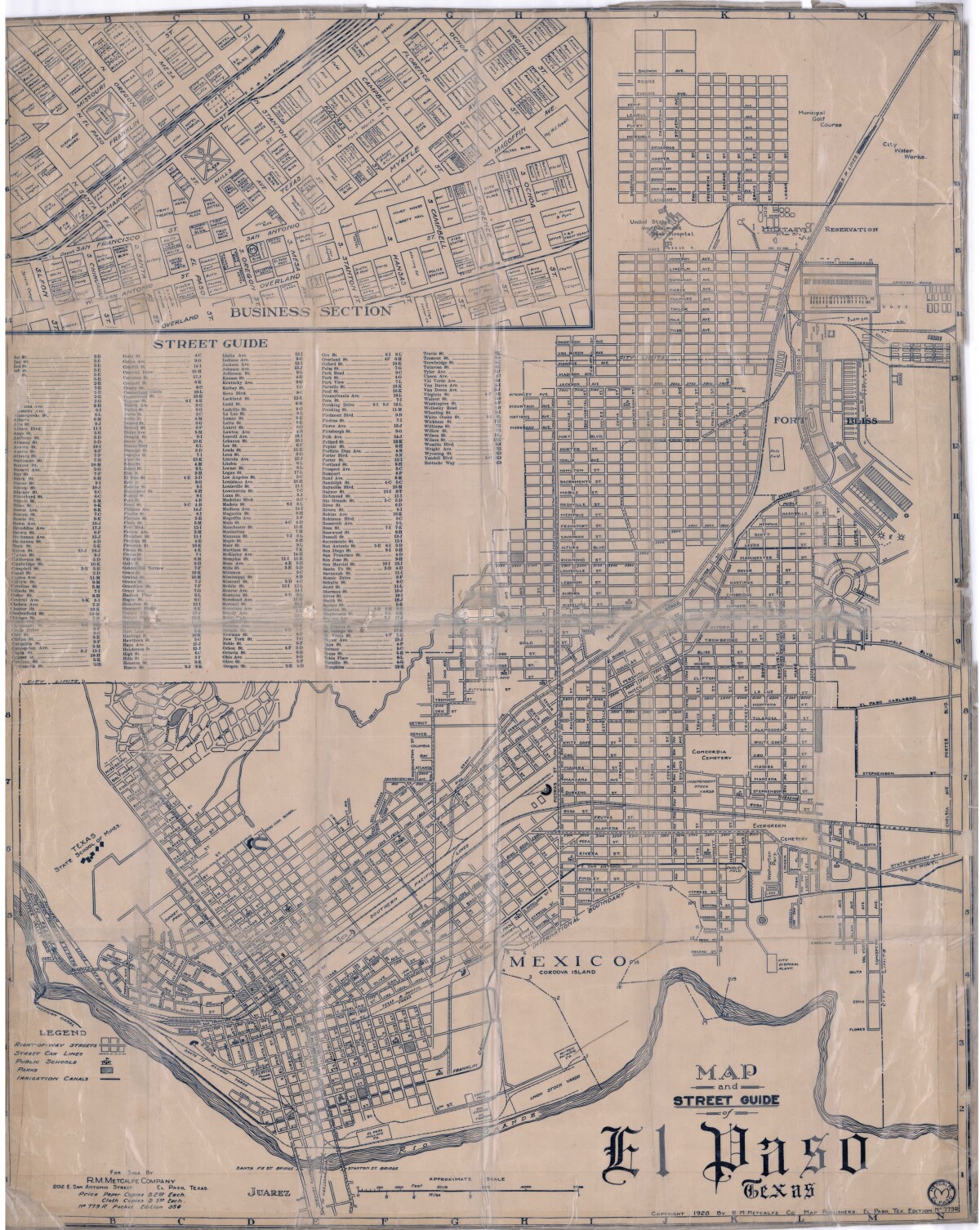
Map and Street Guide of El Paso, Texas circa 1925
Map and street guide of El Paso, Texas. The map includes right-of-way streets, street car lines, public schools, parks and irrigation canals. An inset of the city's business section is shown above the street guide. Highlighted are the Texas State School of Mines; the Santa Fe St. and Stanton St. bridges into Juarez, Mexico; Cordova Island, Mexico; and the area of Ft. Bliss Military Reservation.
Report this entry
More from the same community-collection
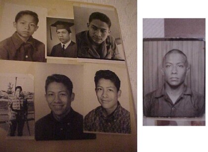
FERNANDO VILLELA - THROUGH THE YEARS PHOTOS - US ARMY JUNE 1968
FERNANDO VILLELA - THROUGH THE YEARS PHOTOS - ENTRY TO US ARMY ...
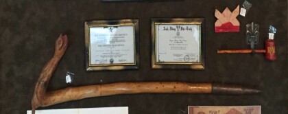
FERNANDO VILLELA VIETNAM - CANE, ORIGAMI & BAMBOO PIPE
FERNANDO VILLELA VIETNAM WAR - WALKING CANE, ORIGAMI & BAMBOO ...
FERNANDO & ROSA (BLANCARTE) VILLELA (HIS WIFE) AND CHILDREN
LEFT TO RIGHT Sitting - Erik, Michael, Rosa (Mother/Wife) ...
Canaletto - El Paso Museum of Art - Video I
Canaletto - El Paso Museum of Art - Video II Kress Collection ...
Canaletto - El Paso Museum of Art - Video II
Canaletto - El Paso Museum of Art - Video II Kress Collection ...
Giuseppe Maria Crespi - El Paso Museum of Art - Video I
Giuseppe Maria Crespi - El Paso Museum of Art - Video I 1665 ...
Giuseppe Maria Crespi - 1700 - Video II
Video from the El Paso Museum of Art - Giuseppe Maria Crespi - ...
Hyacinthe Rigaud -Video II - 1702
Hyacinthe Rigaud's - Portrait of a Master of Requests - 1702 - ...
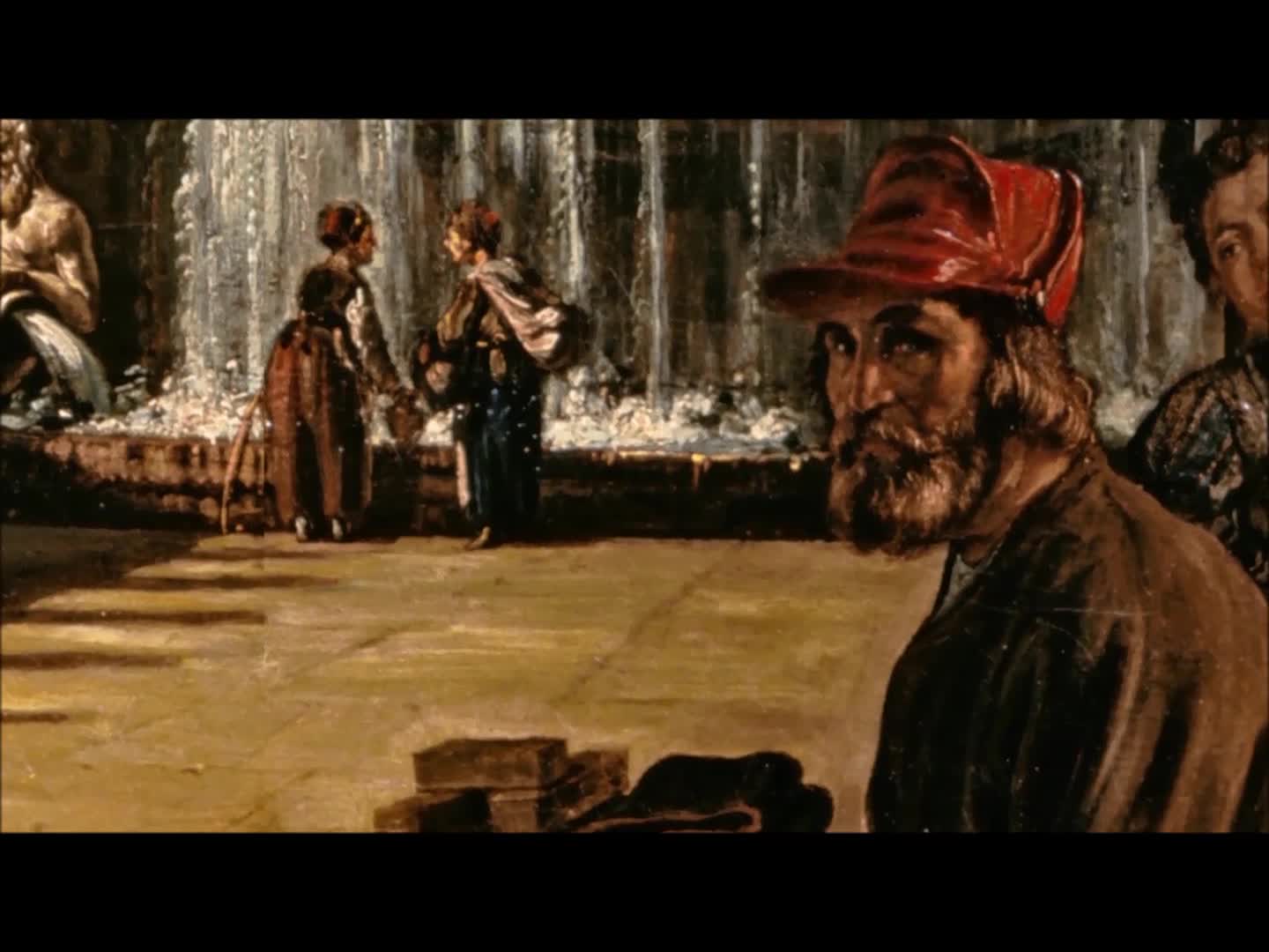
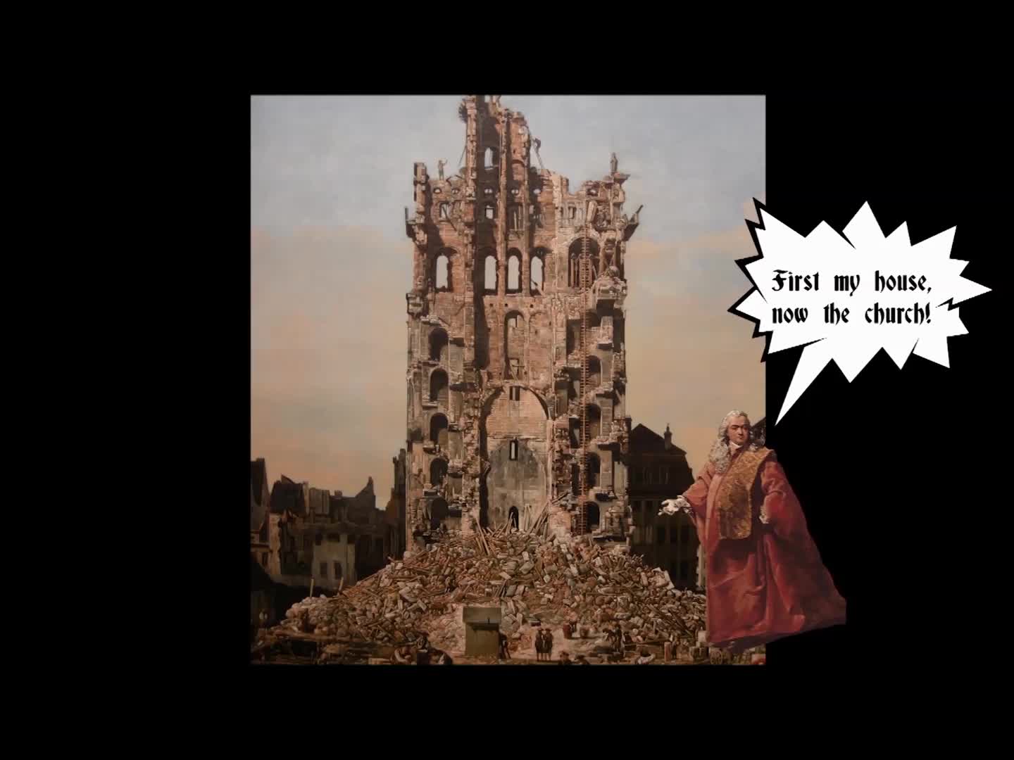
Bernardo Bellotto - 1762 - 65 - Video - I
Video - Bernardo Bellotto's - Architectural Capriccio (Fantasy) ...
Bernardo Bellotto - 1762 - 65 - Video - II
Video - Bernardo Bellotto's - Architectural Capriccio (Fantasy) ...
