Map and Street Guide of El Paso, Texas circa 1925
Mapa y guía callejera de El Paso Texas
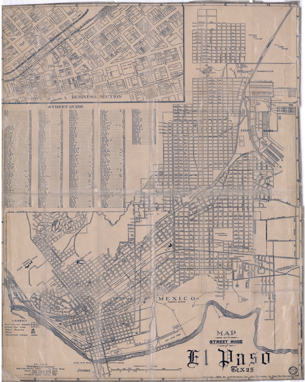
Map and Street Guide of El Paso, Texas circa 1925
Map and street guide of El Paso, Texas. The map includes right-of-way streets, street car lines, public schools, parks and irrigation canals. An inset of the city's business section is shown above the street guide. Highlighted are the Texas State School of Mines; the Santa Fe St. and Stanton St. bridges into Juarez, Mexico; Cordova Island, Mexico; and the area of Ft. Bliss Military Reservation.
Report this entry
More from the same community-collection
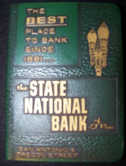
El Paso State National Bank savings book 1950's.
Books used for savings in 1950's at State National Bank El Paso.
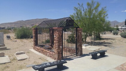
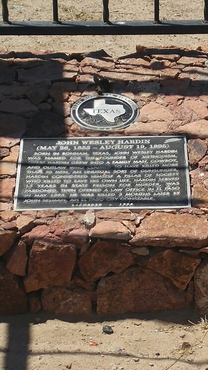
John Wesley Hardin's Grave Marker
John Wesley Hardin's grave marker in Concordia Cemetery. Hardin ...
That one time we were matachines.
My mom forced us to do this and I hated it. Now, I'm glad I did ...
Heaven on Earth - El Paso, Texas
These beautiful flowers located at the downtown mural pathways. ...
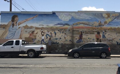
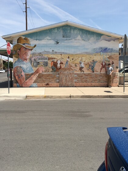
'Reflections of the Desert" walkway mural
This mural represents strength and captures El Paso/Juarez ...

