Map and Street Guide of El Paso, Texas circa 1925
Mapa y guía callejera de El Paso Texas
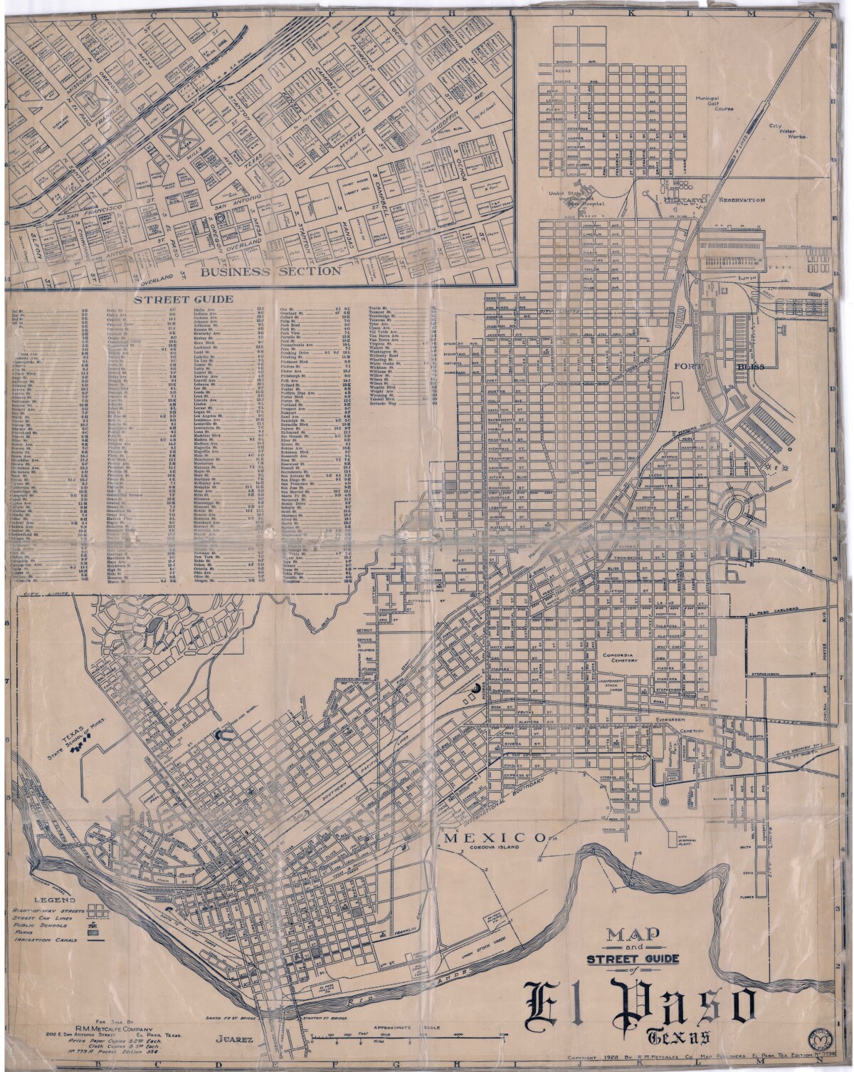
Map and Street Guide of El Paso, Texas circa 1925
Map and street guide of El Paso, Texas. The map includes right-of-way streets, street car lines, public schools, parks and irrigation canals. An inset of the city's business section is shown above the street guide. Highlighted are the Texas State School of Mines; the Santa Fe St. and Stanton St. bridges into Juarez, Mexico; Cordova Island, Mexico; and the area of Ft. Bliss Military Reservation.
Report this entry
More from the same community-collection
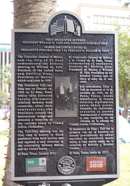
U.S. Pres. Taft / Mex. Pres. Diaz Plaque
The meeting of presidents William Howard Taft and Porfirio Díaz ...
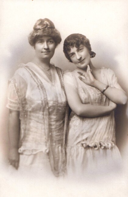
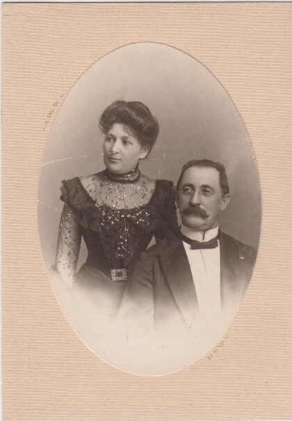
Mrs. Zach White and daughter Mary Boynkin - El Paso, Texas
Zach White, businessman, financier, and city administrator in El ...
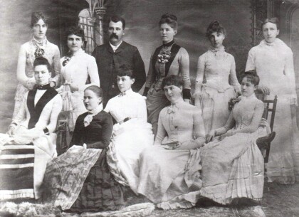
Prof. Esterly and His First Corps Of Teachers
Mr. Calvin Esterly, a retired Army officer and West Point ...
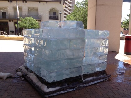
Ice Installation by Jyoti Duwadi
This large ice installation was created outside the Museum of ...
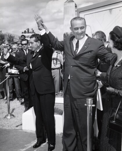
President Johnson Visits El Paso, Texas
Johnson's visit to El Paso, Texas. Johnson is holding the hand ...
Horses Pushed Over A Cliff in the Guadalupe Mountains
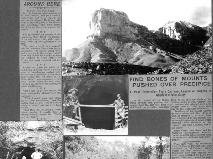
A newspaper article and photographs by Otis Aultman depicting ...
Horses Pushed Over A Cliff in the Guadalupe Mountains, continued
The continuation of a newspaper article and photographs by Otis ...
