Map and Street Guide of El Paso, Texas circa 1925
Mapa y guía callejera de El Paso Texas
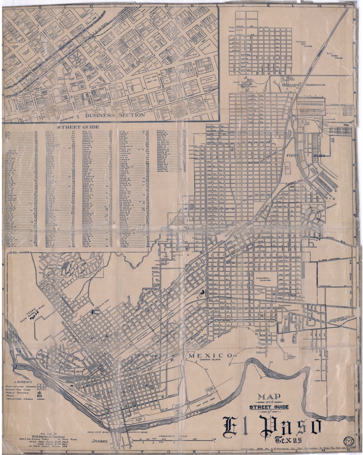
Map and Street Guide of El Paso, Texas circa 1925
Map and street guide of El Paso, Texas. The map includes right-of-way streets, street car lines, public schools, parks and irrigation canals. An inset of the city's business section is shown above the street guide. Highlighted are the Texas State School of Mines; the Santa Fe St. and Stanton St. bridges into Juarez, Mexico; Cordova Island, Mexico; and the area of Ft. Bliss Military Reservation.
Report this entry
More from the same community-collection
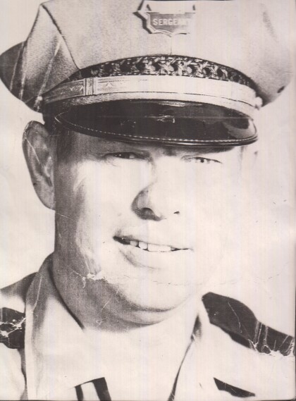
William Lee Petroff - 1965 - El Paso, Texas
Bill Petroff - police officer who retired in 1977 - rank was ...
Lulac Sweetheart Charity Ball - 1971
Adela (Lily) Lerma - Mercado contestant for Lulac Sweetheart ...
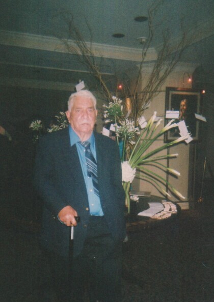
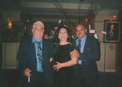
Wedding - El Camino Real Hotel - 2000 - El Paso, Texas
Wedding at the El Camino Real Hotel - left to right - Pedro ...
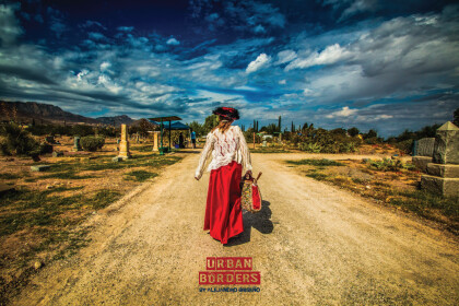
"Classic" by Alejandro Briseño - El Paso, Texas
The Consulate General of Mexico and Centro Cultural Mexicano ...
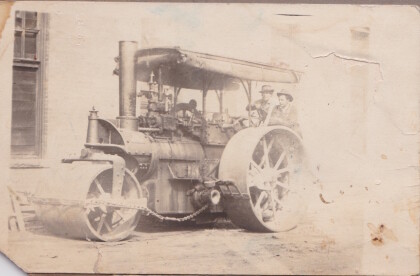
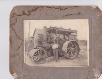
Edward J. McVay and worker - Paving the Roads of El Paso, Texas
Edward J. McVay spent his life working in many different ...
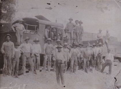
Edward J. McVay Paving the Roads of El Paso, Texas
Edward J. McVay spent his life working in many different ...
Edward J. McVay Paving the Roads of El Paso, Texas
Edward J. McVay spent his life working in many different ...
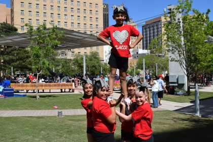
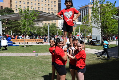
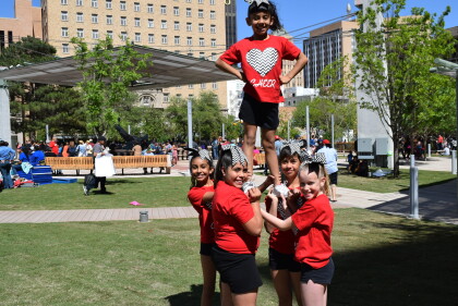
San Jacinto Plaza Opening - 2016 - El Paso, Texas
San Jacinto Plaza Opening - 2016 Photograph during the San ...
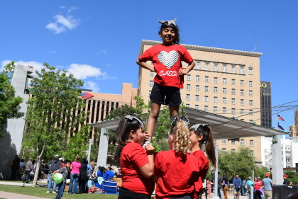
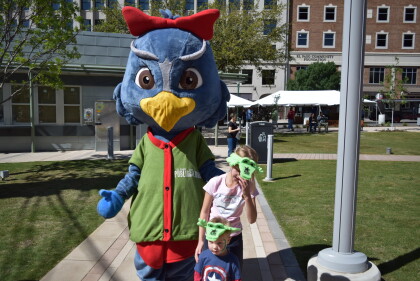
San Jacinto Plaza Opening - 2016
The mascot for the El Paso Public Library - celebrating opening ...
San Jacinto Plaza Opening - 2016
Mascot for the El Paso Public Library -- celebrating the opening ...
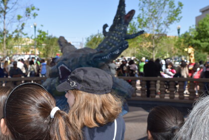
San Jacinto Plaza Opening - 2016 - El Paso, Texas
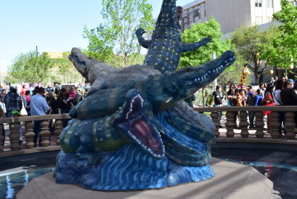
Photograph of the statue in the center of the plaza.
San Jacinto Plaza Opening - 2016
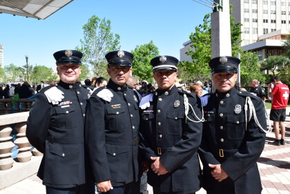
Members of the El Paso Fire Department at the opening for San ...
